Onward in Sharkey County, Mississippi — The American South (East South Central)
Hill’s Plantation
Steele’s Bayou Expedition
| — | Vicksburg Campaign | — |
Photographed by Tom Bosse, July 25, 2020
1. Hill’s Plantation Marker
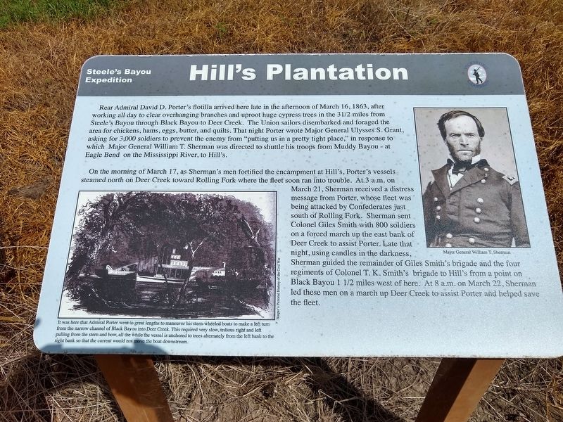
On the morning of March 17, as Sherman’s men fortified the encampment at Hill’s Porter’s vessels steamed north on Deer Creek toward Rolling Fork where the fleet soon ran into trouble. At 3 a.m. on March 21, Sherman received a distress message from Porter, whose fleet was being attacked by Confederates just south of Rolling Fork. Sherman sent Colonel Biles Smith with 800 soldiers on a forced march up the east bank of Deer Creek to assist Porter. Late that night,
this page online
(captions)
(top right) Major General William T. Sherman
(bottom left) It was here that Admiral Porter went to great lengths to maneuver his stern-wheeled boats to make a left turn from the narrow channel of Black Bayou into Deer Creek. This required very slow, tedious right and left pulling from the stern and bow, all the while the vessel is anchored to trees alternately from the left bank to the right bank so that the current would not move the boat downstream. Harper's Pictorial History of the Civil War
Topics. This historical marker is listed in these topic lists: War, US Civil • Waterways & Vessels. A significant historical date for this entry is March 16, 1863.
Location. 32° 43.404′ N, 90° 57.018′ W. Marker is in Onward, Mississippi, in Sharkey County. It is on State Highway 1 0.7 miles west of U.S. 61, on the right
Photographed by Tom Bosse, July 25, 2020
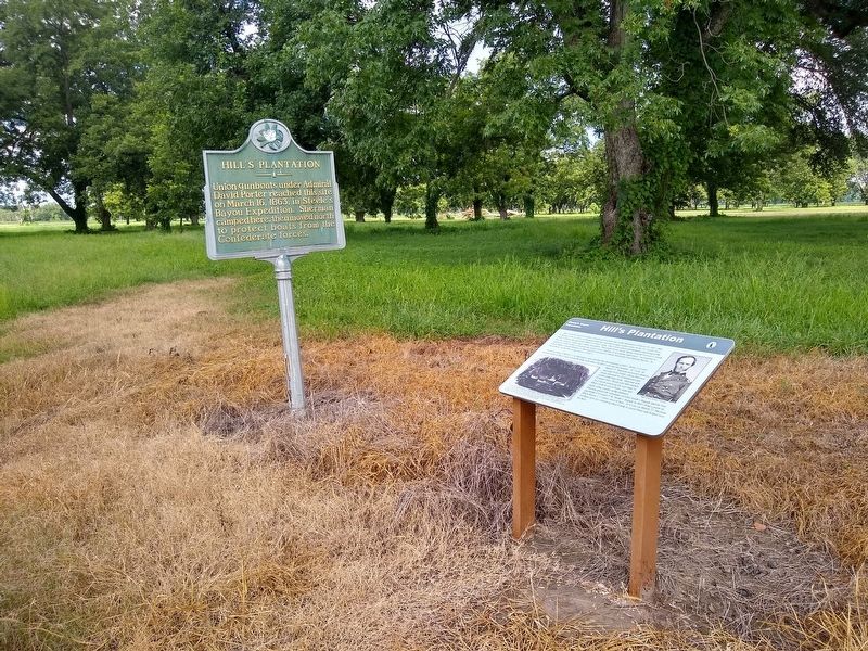
2. Hill’s Plantation Marker

Regionally, this marker is in the American South, specifically in the Deep South, in the Mississippi Delta, and in the Great River Road Region. Globally, it is in North America, a Gulf of Mexico state, the Western Hemisphere, the Western World, and the Anglosphere. Historically, it finds itself in what was once New Spain, the territory of the Mississippian Culture, one of the Confederate States of America, and the Antebellum South.
Other nearby markers. At least 8 other markers are within 14 miles of this marker, measured as the crow flies: A different marker also named Hill’s Plantation (here, next to this marker); Cary Mounds (approx. 5.6 miles away); a different marker also named Cary Mounds (approx. 5.6 miles away); Aden Mounds (approx. 8.9 miles away); Rolling Fork Mounds (approx. 12.7 miles away); Sharkey County Courthouse (approx. 13.4 miles away); The Story of Teddy Bears (approx. 13½ miles away); Unita Blackwell (approx. 13.7 miles away). Touch for a list and map of
Photographed by Tom Bosse, July 25, 2020
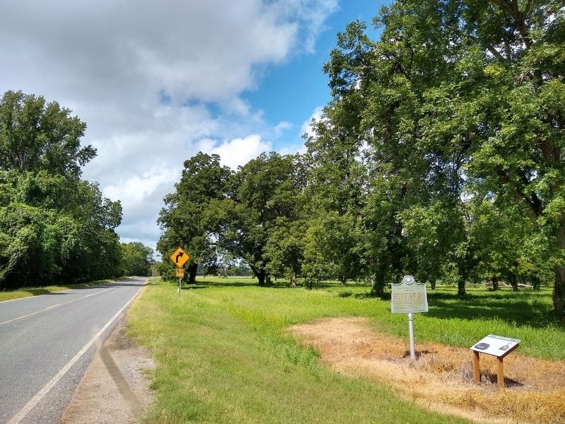
3. Hill’s Plantation Marker
Other markers no longer nearby. Teddy Roosevelt's Bear Hunt (was approx. 0.6 miles away but has been confirmed missing); What is a Shotgun Shack? (was approx. 13½ miles away but has been confirmed missing); Muddy Waters (was approx. 13½ miles away but has been confirmed missing).
Also see . . . Steele's Bayou expedition. (Submitted on August 11, 2020, by Tom Bosse of Jefferson City, Tennessee.)
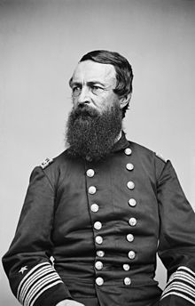
4. Admiral David D. Porter, U.S.N
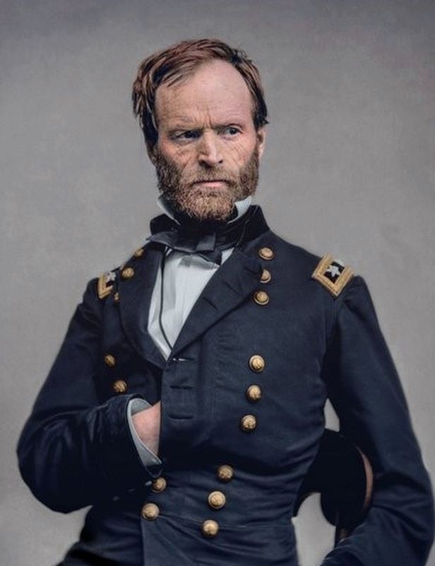
5. Gen. William T. Sherman, U.S.A.
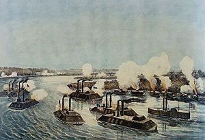
6. Mississippi River Squadron
Credits. This page was last revised on August 11, 2020. It was originally submitted on August 11, 2020, by Tom Bosse of Jefferson City, Tennessee. This page has been viewed 1,041 times since then and 68 times this year. Photos: 1, 2, 3, 4, 5, 6. submitted on August 11, 2020, by Tom Bosse of Jefferson City, Tennessee. • Bernard Fisher was the editor who published this page.
