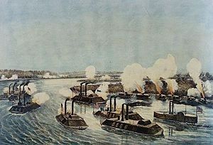
Onward in Sharkey County, Mississippi — The American South (East South Central)
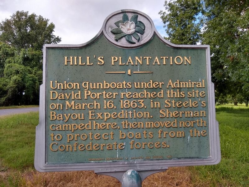
Hillís Plantation
Erected 1991 by Mississippi Department of Archives and History.
Topics. This historical marker is listed in these topic lists: War, US Civil • Waterways & Vessels. A significant historical date for this entry is March 16, 1863.
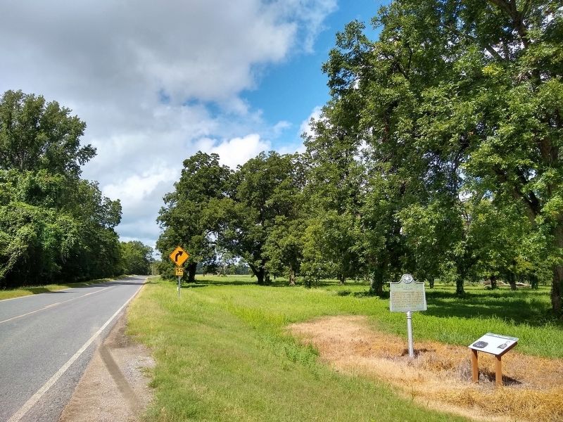
Location. 32° 43.405′ N, 90° 57.018′ W. Marker is in Onward, Mississippi, in Sharkey County. Marker is on State Highway 1, 0.7 miles west of U.S. 61, on the right when traveling west. Touch for map. Marker is in this post office area: Rolling Fork MS 39159, United States of America. Touch for directions.
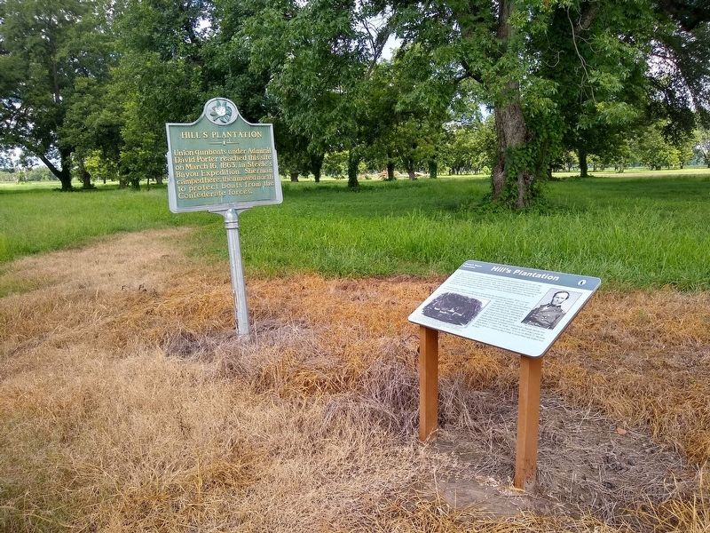
Other nearby markers. At least 8 other markers are within 14 miles of this marker, measured as the crow flies. A different marker also named Hillís Plantation (here, next to this marker); Teddy Roosevelt's Bear Hunt (approx. 0.6 miles away); Cary Mounds (approx. 5.6 miles away); a different marker also named Cary Mounds (approx. 5.6 miles away); Aden Mounds (approx. 8.9 miles away); Rolling Fork Mounds (approx. 12.7 miles away); Sharkey County Courthouse (approx. 13.4 miles away); What is a Shotgun Shack? (approx. 13Ĺ miles away).
Also see . . . Steele's Bayou expedition. Wikipedia (Submitted on August 11, 2020, by Tom Bosse of Jefferson City, Tennessee.)
Credits. This page was last revised on August 11, 2020. It was originally submitted on August 11, 2020, by Tom Bosse of Jefferson City, Tennessee. This page has been viewed 335 times since then and 27 times this year. Photos: 1, 2, 3, 4, 5, 6. submitted on August 11, 2020, by Tom Bosse of Jefferson City, Tennessee. • Bernard Fisher was the editor who published this page.
