Oxnard in Ventura County, California — The American West (Pacific Coastal)
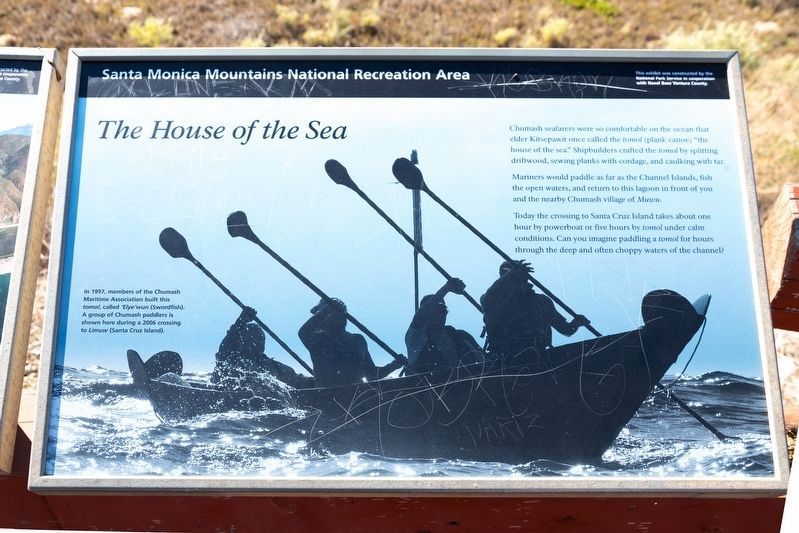
The House of the Sea
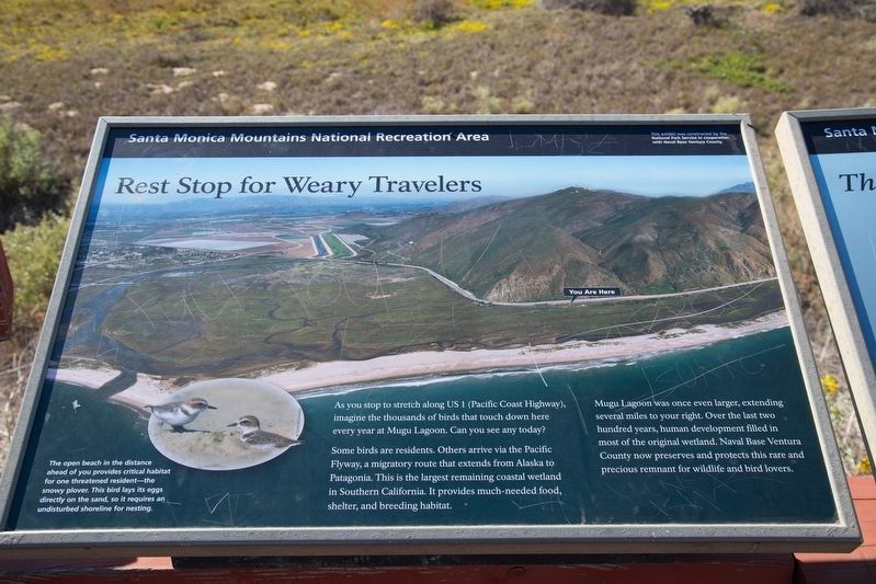
Rest Stop for Weary Travelers
— Santa Monica Mountains National Recreation Area —
Mariners would paddle as far as the Channel Islands, fish the open waters, and return to this lagoon in front of you and the nearby Chumash village of Muwu.
Today the crossing to Santa Cruz island takes about one hour by powerboat or five hours by tomol under calm conditions. Can you image paddling a tomol for hours through the deep and often choppy waters of the Channel.
In 1997, members of the Chumash Maritime Association built this tomol, called ‘Elye‘wun (Swordfish). A group of Chumash paddlers is shown here during a 2006 crossing to Limuw (Santa Cruz Island).
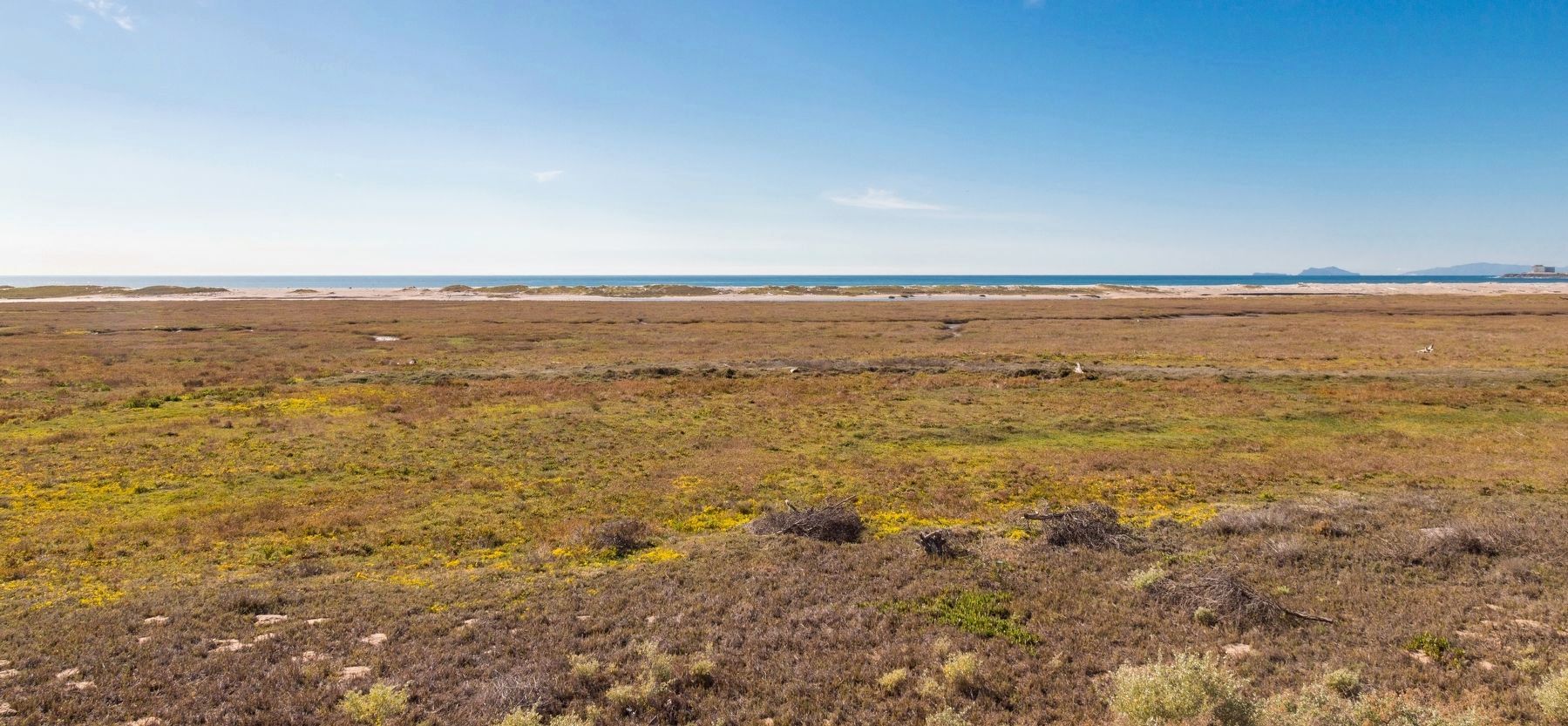
Rest stop for weary travelers. As you stop to stretch along CA 1 (Pacific Coast Highway), imagine the thousands of birds that touch down here every year at Mugu Lagoon. Can you see any today?
Some birds are residents. Others arrive via the Pacific Flyway, a migratory route that extends from Alaska to Patagonia. This is the largest remaining coastal wetland in Southern California. It provides much-needed food, shelter, and breeding habitat.
The open beach in the distance ahead of you provides critical habitat for one threatened resident—the snowy plover. This bird lays its eggs directly on the sand, so it requires an undisturbed shoreline for nesting.
Erected 1971 by National Park Service in cooperation with Naval Base Ventura County. (Marker Number 14.)
Topics and series. This historical marker is listed in these topic lists: Native Americans • Waterways & Vessels. In addition, it is included in the Ventura County Historical Landmarks series list. A significant historical year for this entry is 1997.
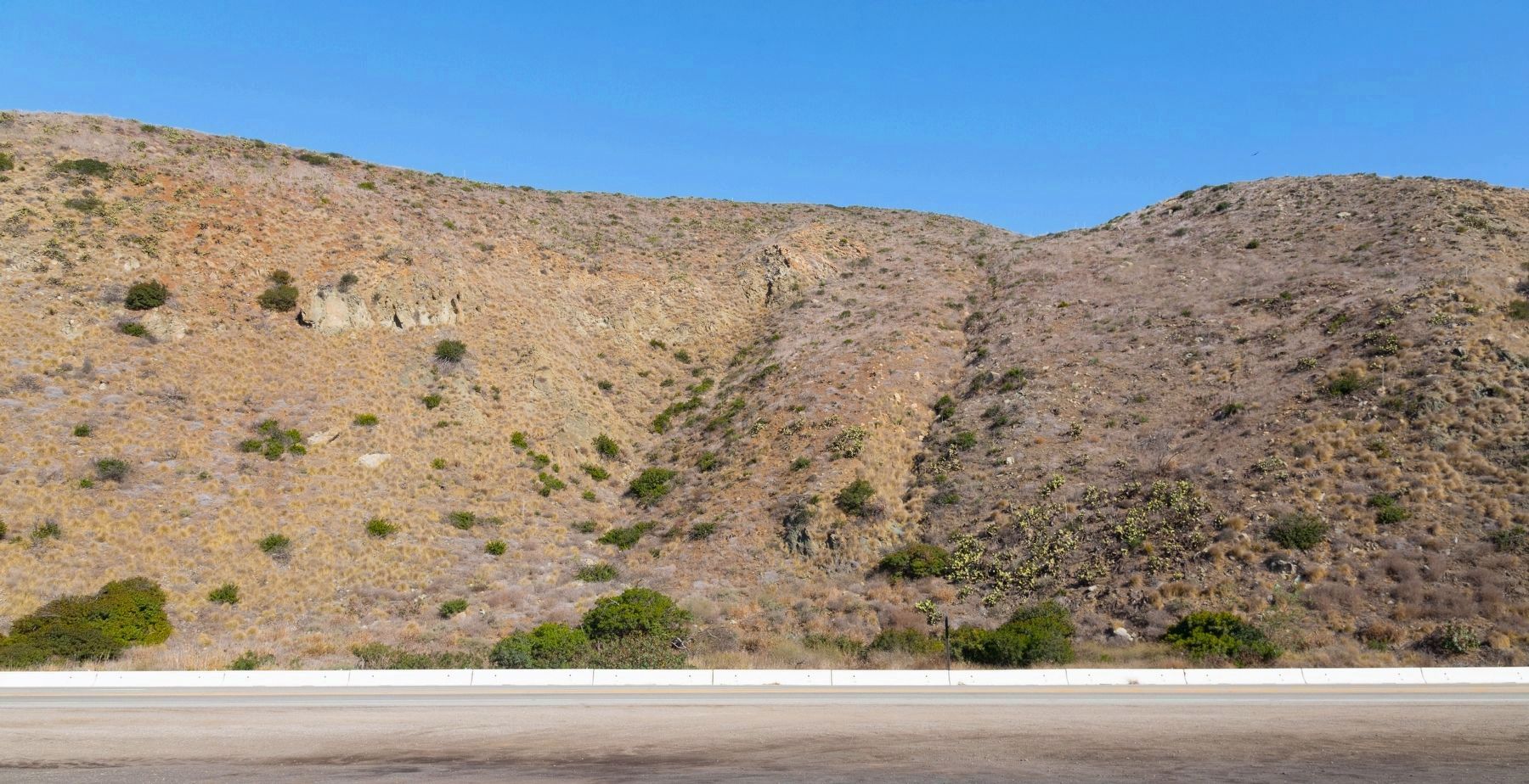
Location. 34° 5.978′ N, 119° 4.801′ W. Marker is in Oxnard, California, in Ventura County. Marker is at the intersection of Pacific Coast Highway (California Route 1) and Mugu Canyon Rest Area, on the left when traveling north on Pacific Coast Highway. It is at the Western Gateway of the Santa Monica Mountains National Recreation Area. Touch for map. Marker is at or near this postal address: 233 Pacific Coast Highway, Oxnard CA 93033, United States of America. Touch for directions.
Other nearby markers. At least 8 other markers are within 8 miles of this marker, measured as the crow flies. Naval Air Missile Test Center, Point Mugu, California (approx. 2.1 miles away); F-14 Tomcat (approx. 2½ miles away); Alaska Flight 261 Memorial (approx. 7 miles away); Hueneme Slough (approx. 7.1 miles away); Rancho Sierra Vista (approx. 7½ miles away); Women’s Improvement Club (approx. 7.6 miles away); Bank of Hueneme (approx. 7.6 miles away); Gerberding / Moranda House (approx. 7.6 miles away).
Regarding The House of the Sea. Point Mugu State Park is Ventura County Historical Landmark No. 14, designated in 1971. It is the site of a major Chumash village in the La Jolla Valley, and the largest remaining area of natural grassland in California. The area was occupied 6,000 years, until the 1850s.
Also see . . .
1. Wikipedia entry for Cumash People. Excerpt:
The first modern tomol was built and launched in 1976 as a result of a joint venture between Quabajai Chumash of the Coastal Band of the Chumash Nation and the Santa Barbara Museum of Natural History. Its name is Helek/Xelex, the Chumash word for falcon. The Brotherhood of the Tomol was revived and her crew paddled and circumnavigated around the Santa Barbara Channel Islands on a 10-day journey, stopping on three of the islands. The second tomol, the Elye‘wun (“swordfish”), was launched in 1997.(Submitted on August 14, 2020.)
On September 9, 2001, the first “crossing” in the Chumash tomol, from the mainland to Channel Islands, was sponsored by the Chumash Maritime Association and the Barbareño Chumash Council. Several Chumash bands and descendants gathered on the island of Limuw (the Chumash name for Santa Cruz Island) to witness the Elye‘wun being paddled from the mainland to Santa Cruz Island. Their journey was documented in the short film “Return to Limuw” produced by the Ocean Channel for the Chumash Maritime Association, Channel Islands National Marine Sanctuary, and the Santa Barbara Maritime Museum. The channel crossings have become a yearly event hosted by the Barbareño Chumash Council.
2. Wikipedia entry for Mugu Lagoon.
Mugu Lagoon is a salt marsh located within the Naval Base Ventura County at the foot of the Santa Monica Mountains in Ventura County, California. The lagoon extends for 4.3 miles parallel to a narrow barrier beach. The first European to come ashore here was Juan Rodríguez Cabrillo on October 10, 1542. Cabrillo was the first European to visit present-day California, and he named it Muwu, which is Chumash meaning “beach” or “seashore.” When the Europeans first discovered the lagoon, it functioned as the capital village of the Chumash Indians settled around Point Mugu.(Submitted on August 14, 2020.)
The Calleguas Creek, and its tributaries such as Arroyo Conejo and Arroyo Simi, discharges into the Pacific Ocean at its estuary in Mugu Lagoon. Historically, Calleguas Creek flood flows spread across the floodplain and the deposited sediment created the rich agricultural lands of the Oxnard Plain. With year-round agriculture in the floodplain, concrete channels and dirt levees have been built to contain the flow. This has delivered increased sediment to Mugu Lagoon and flooding during extreme rain events.
Additional keywords. Professor Emeritus and Mrs. George E. MacGinity; Marine and Estuarine Biology
Photographed By J. J. Prats, December 3, 2018
5. MacGinity Memorial Detail
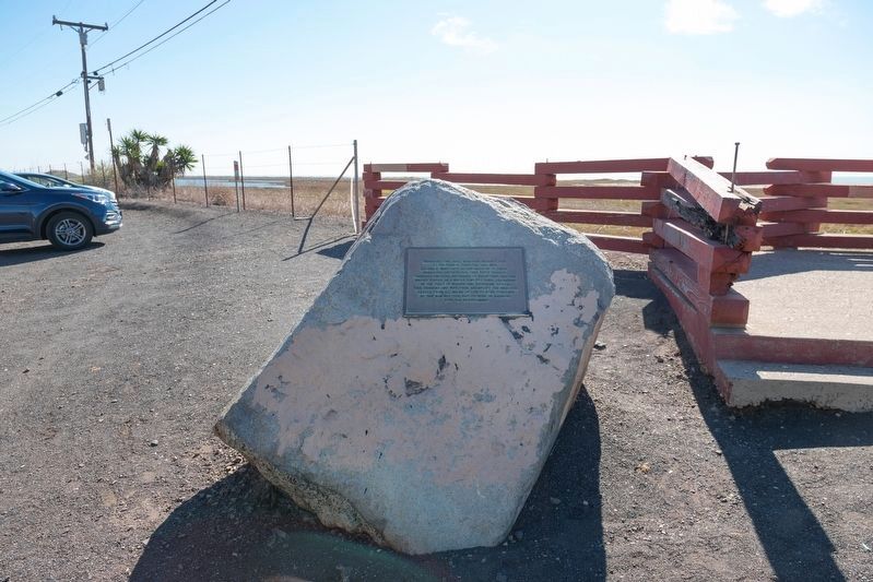
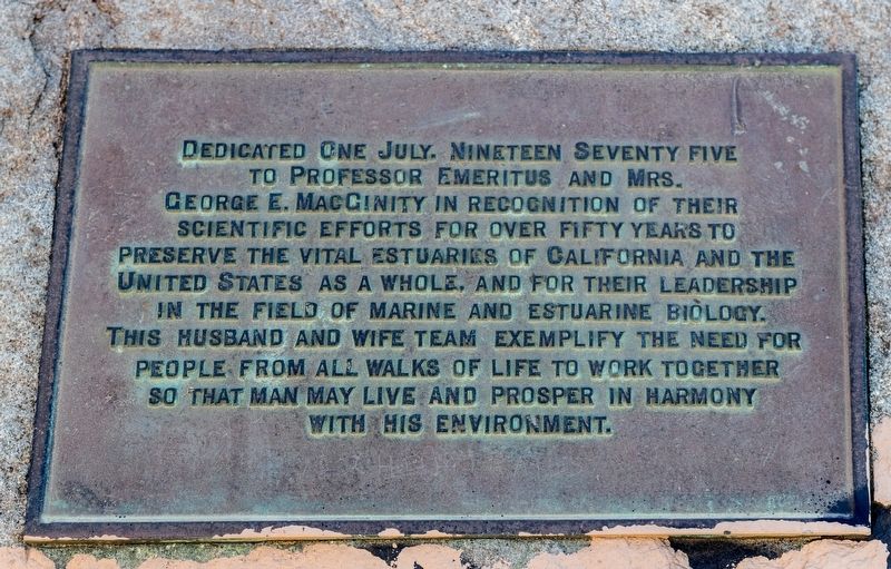
The tablet reads, “Dedicated One July, Nineteen Seventy five to Professor Emeritus and Mrs. George E. MacGinity in recognition of their scientific efforts for over fifty years to preserve the vital estuaries of California and the United States as a whole, and for their leadership in the field of Marine and Estuary Biology. This husband and wife team exemplify the need for people from all walks of life to work together so that man may live and prosper in harmony with his environment.”
Credits. This page was last revised on June 28, 2021. It was originally submitted on August 13, 2020, by J. J. Prats of Powell, Ohio. This page has been viewed 290 times since then and 20 times this year. Photos: 1, 2, 3, 4, 5, 6, 7. submitted on August 13, 2020, by J. J. Prats of Powell, Ohio.
