
Glen Allan in Washington County, Mississippi — The American South (East South Central)
St. John's Church
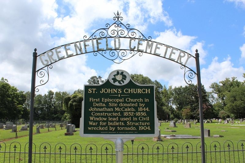
Photographed by Tom Bosse, July 25, 2020
1. St. John's Church Marker
Erected 2014 by Mississippi Department of Archives and History.
Topics and series. This historical marker is listed in these topic lists: Cemeteries & Burial Sites • Religion & Religious Structures • War, US Civil. In addition, it is included in the Mississippi State Historical Marker Program series list. A significant historical year for this entry is 1844.
Location. 33° 0.722′ N, 91° 3.03′ W. Marker is in Glen Allan, Mississippi, in Washington County. It is on Eastside Lake Washington Road 0.1 miles east of Cordell Road, on the right when traveling east. Touch for map. Marker is at or near this postal address: 286 Eastside Lake Washington Road, Glen Allan MS 38744, United States of America. Touch for directions.

Regionally, this marker is in the American South, specifically in the Deep South, in the Mississippi Delta, and in the Great River Road Region. Globally, it is in North America, a Gulf of Mexico state, the Western
this page online
Other nearby markers. At least 8 other markers are within 7 miles of this marker, measured as the crow flies: In Remembrance (a few steps from this marker); Jesse Crowell (a few steps from this marker); Hampton Plantation (approx. 3.1 miles away); Grace Mounds (approx. 4.9 miles away); Law Mounds (approx. 6.1 miles away); Old Highway 1 (approx. 6.6 miles away); Cotton Storage House (approx. 6.7 miles away); Swan Lake Mounds (approx. 6.7 miles away). Touch for a list and map of all markers in Glen Allan.
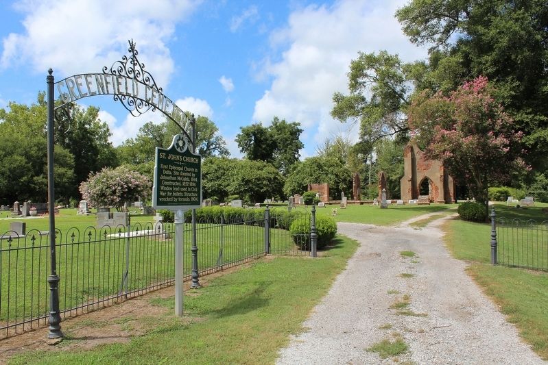
Photographed by Tom Bosse, July 25, 2020
2. St. John's Church Marker
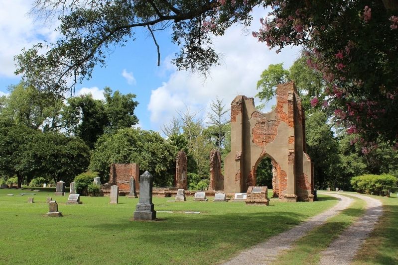
Photographed by Tom Bosse, July 25, 2020
3. St. John's Church Marker
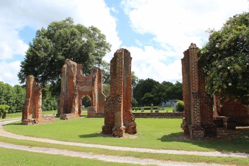
Photographed by Tom Bosse, July 25, 2020
4. St. John's Church Marker
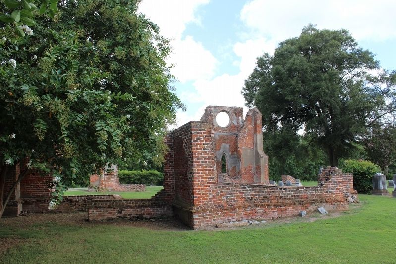
Photographed by Tom Bosse, July 25, 2020
5. St. John's Church Marker
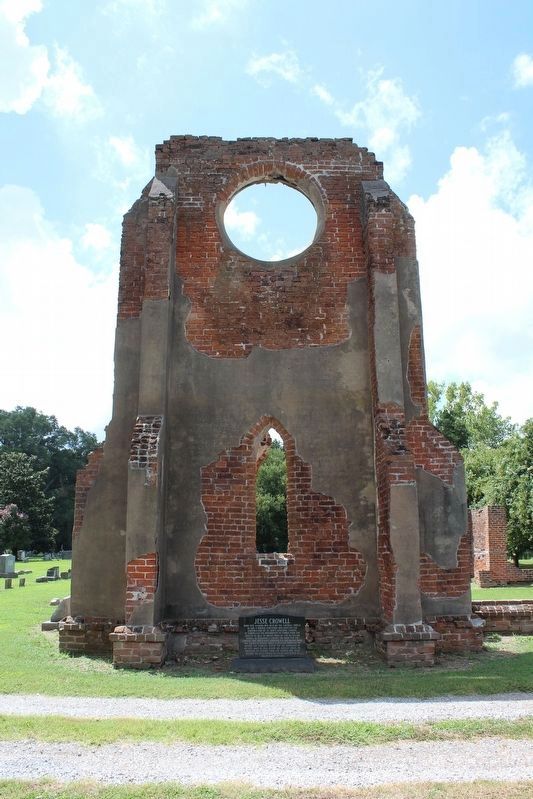
Photographed by Tom Bosse, July 25, 2020
6. St. John's Church Marker
Credits. This page was last revised on August 19, 2020. It was originally submitted on August 15, 2020, by Tom Bosse of Jefferson City, Tennessee. This page has been viewed 593 times since then and 59 times this year. Photos: 1, 2, 3, 4, 5, 6. submitted on August 15, 2020, by Tom Bosse of Jefferson City, Tennessee. • Bernard Fisher was the editor who published this page.
