Near Greenville in Washington County, Mississippi — The American South (East South Central)
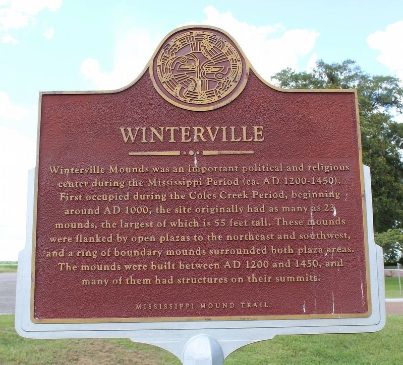
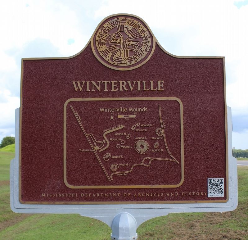
Winterville
— Mississippi Mound Trail —
Erected by Mississippi Department of Archives and History.
Topics and series. This historical marker is listed in these topic lists: Anthropology & Archaeology • Native Americans. In addition, it is included in the Mississippi Mound Trail series list.
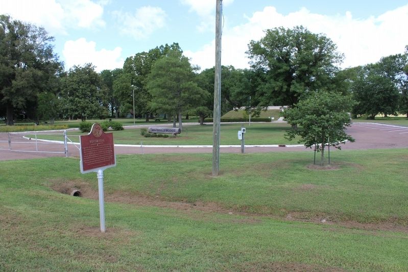
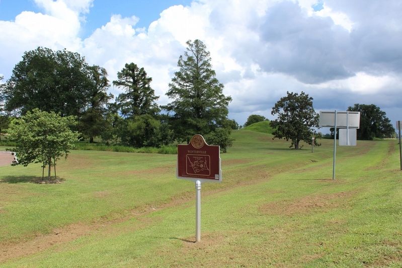
Location. 33° 29.138′ N, 91° 3.841′ W. Marker is near Greenville, Mississippi, in Washington County. Marker is on State Highway 1 north of Indian Road, on the right when traveling north. Touch for map. Marker is at or near this postal address: 1145 Indian Road, Greenville MS 38703, United States of America. Touch for directions.
Other nearby markers. At least 8 other markers are within 5 miles of this marker, measured as the crow flies. Winterville Mounds (within shouting distance of this marker); Symbols Tell Stories (about 300 feet away, measured in a direct line); Lockheed T-33A (approx. 4.2 miles away); History of the 51-6601 (approx. 4.2 miles away); Harriet Blanton Theobald Park (approx. 4.7 miles away); St. Matthew's A. M. E. Church (approx. 4.9 miles away); Mt. Horeb M.B. Church (approx. 4.9 miles away); Walter Horn, Jr. (approx. 5 miles away). Touch for a list and map of all markers in Greenville.
Related markers. Click here for a list of markers that are related to this marker.
Also see . . . Winterville Mounds. Mississippi Department of Archives and History (Submitted on August 16, 2020, by Tom Bosse of Jefferson City, Tennessee.)
Credits. This page was last revised on August 16, 2020. It was originally submitted on August 16, 2020, by Tom Bosse of Jefferson City, Tennessee. This page has been viewed 134 times since then and 16 times this year. Photos: 1, 2, 3, 4. submitted on August 16, 2020, by Tom Bosse of Jefferson City, Tennessee. • Bernard Fisher was the editor who published this page.


