Munising in Alger County, Michigan — The American Midwest (Great Lakes)
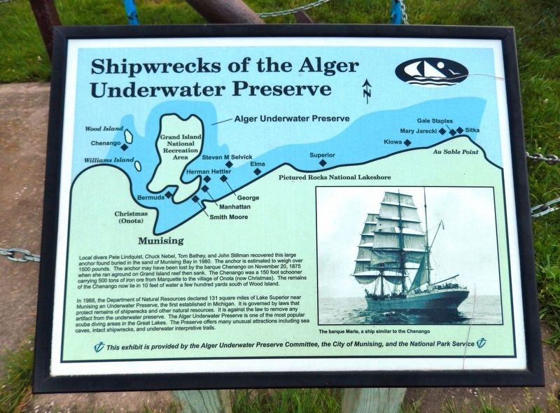
Shipwrecks of the Alger Underwater Preserve
In 1988, the Department of Natural Resources declared 131 square miles of Lake Superior near Munising an Underwater Preserve, the first established in Michigan. It is governed by laws that protect remains of shipwrecks and other natural resources. It is against the law to remove any artifact from the underwater preserve. The Alger Underwater Preserve is one of the most popular scuba diving areas in the Great Lakes. The Preserve offers many unusual attractions including sea caves, intact shipwrecks, and underwater interpretive trails.
Erected by Alger Underwater Preserve Committee, City of Munising, and National Park Service.
Topics. This historical marker is listed in these topic lists: Parks & Recreational Areas • Waterways & Vessels. A significant historical date for this entry is November 20, 1875.
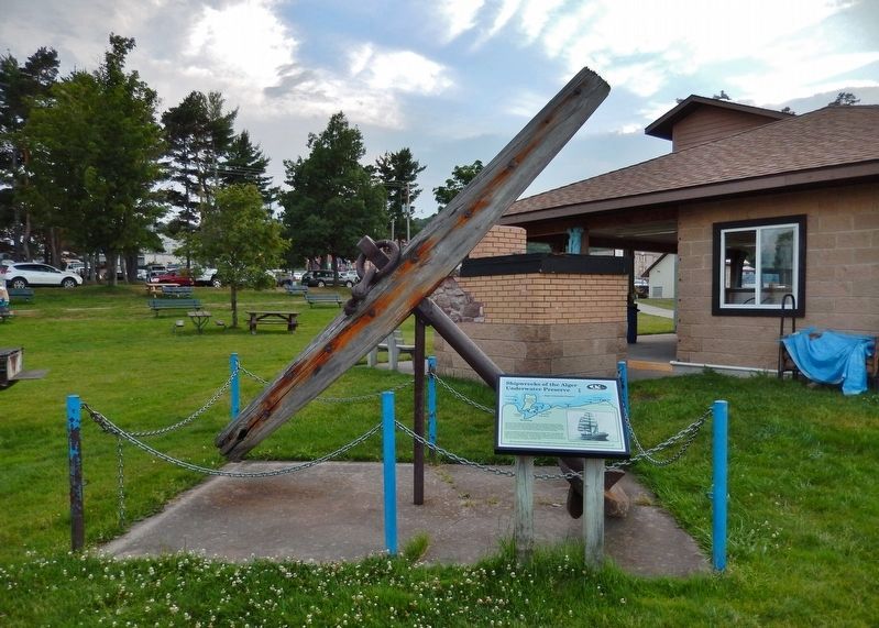
Location. 46° 24.755′ N, 86° 39.194′ W. Marker is in Munising, Michigan, in Alger County. Marker can be reached from Elm Avenue, 0.1 miles north of East Munising Avenue (State Highway 28), on the right when traveling north. Marker is located along the walkway in Binsfeld Bayshore Park, on the east side of the Bayshore Marina building. Touch for map. Marker is at or near this postal address: 355 Elm Avenue, Munising MI 49862, United States of America. Touch for directions.
Other nearby markers. At least 8 other markers are within 8 miles of this marker, measured as the crow flies. Munising Public Dock (within shouting distance of this marker); Russell A. Alger (approx. 0.3 miles away); Munising Falls (approx. 1.6 miles away); Location is Everything! (approx. 3.2 miles away); What’s Old? What’s New? (approx. 3.2 miles away); Bay Furnace Ruins (approx. 3.2 miles away); U.S. Coast Guard (approx. 3½ miles away); Grand Island View (approx. 7.4 miles away). Touch for a list and map of all markers in Munising.
Also see . . .
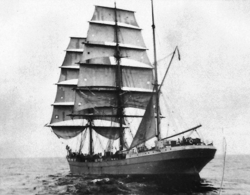
1. Shipwrecks of the Munising Area. Chenango - Wooden schooner, 384 gt., approximately 150 ft., blown onto Wood Island Reef, November 20, 1875. This wreck is largely broken up and scattered in 15 ft. of water South of Wood Island. LORAN: 31665.2 / 47391.1, LON/LAT: 46.30'19" / 86.44'65". (Submitted on August 17, 2020, by Cosmos Mariner of Cape Canaveral, Florida.)
2. Alger Underwater Preserve. For ships in trouble on the long southern coast of Lake Superior, harbors of refuge are few. Munising is one of them. The waters off Munising are sheltered by Grand Island and have been the final destination of many ships seeking safe harbor from the fury of the big lake. (Submitted on August 17, 2020, by Cosmos Mariner of Cape Canaveral, Florida.)
Credits. This page was last revised on August 17, 2020. It was originally submitted on August 17, 2020, by Cosmos Mariner of Cape Canaveral, Florida. This page has been viewed 236 times since then and 12 times this year. Photos: 1, 2, 3. submitted on August 17, 2020, by Cosmos Mariner of Cape Canaveral, Florida.


