Near Okanogan in Okanogan County, Washington — The American West (Northwest)
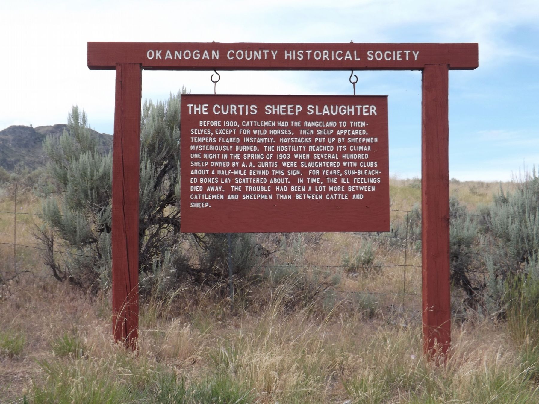
The Curtis Sheep Slaughter
Before 1900, the cattlemen had the rangeland to themselves, except for wild horses. Then sheep appeared. Tempers flared instantly. Haystacks put up by sheepmen mysteriously burned. The hostility reached its climax one night in the spring of 1903 when several hundred sheep owned by A.A. Curtis were slaughtered with clubs about half-mile behind this sign. For years, sun-bleached bones lay scattered about. In time, the ill feelings died away. The trouble had been a lot more between cattlemen and sheepmen than between cattle and sheep.
Erected by Okanogan County Historical Society.
Topics. This historical marker is listed in this topic list: Settlements & Settlers. A significant historical year for this entry is 1903.
Location. 48° 19.171′ N, 119° 38.531′ W. Marker is near Okanogan, Washington, in Okanogan County. Marker is on Washington State Highway 20 (Washington Route 20) west of Old US Highway 97, on the right when traveling west. Touch for map. Marker is in this post office area: Okanogan WA 98840, United States of America. Touch for directions.
Other nearby markers. At least 5 other markers are within 15 miles of this marker, measured as the crow flies. The Cariboo Trail (approx. one mile away); Okanogan County World War I Memorial (approx. 4.2 miles away); Scotch Creek Basin (approx. 12.9 miles away); U Bar U Ranch (approx. 14.1 miles away); Riverside (approx. 14.1 miles away).
Credits. This page was last revised on August 19, 2020. It was originally submitted on August 18, 2020, by Doreen Thomson of Calgary, Alberta Canada. This page has been viewed 806 times since then and 69 times this year. Photo 1. submitted on August 18, 2020, by Doreen Thomson of Calgary, Alberta Canada. • J. Makali Bruton was the editor who published this page.
