Shockoe Bottom in Richmond, Virginia — The American South (Mid-Atlantic)
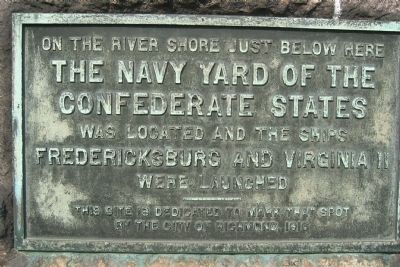
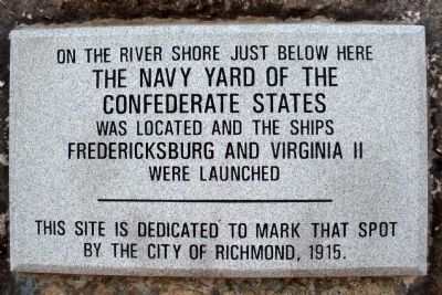
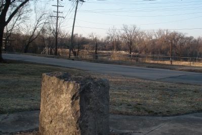
The Navy Yard of the Confederate States
The Navy Yard of the
Confederate States
was located and the ships
Fredericksburg and Virginia II
were launched
This site is dedicated to that spot
by the City of Richmond, 1916
Erected 1916 by City of Richmond.
Topics. This historical marker is listed in these topic lists: War, US Civil • Waterways & Vessels. A significant historical year for this entry is 1916.
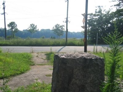
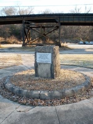
Location. 37° 31.457′ N, 77° 25.108′ W. Marker is in Richmond, Virginia. It is in Shockoe Bottom. Marker is at the intersection of East Main Street and Peebles St & S Ash St, on the left when traveling east on East Main Street. Touch for map. Marker is in this post office area: Richmond VA 23223, United States of America. Touch for directions.
Other nearby markers. At least 8 other markers are within walking distance of this marker. City Locks River Gauge (about 700 feet away, measured in a direct line); Rocketts Landing and Wharf / Confederate Navy Yard / Powhatan’s Birthplace (about 800 feet away); 3013 Libby Terrace (approx. 0.2 miles away); Coffer Dams (approx. 0.2 miles away); Bloody Run (approx. 0.2 miles away); Great Ship Lock (approx. 0.2 miles away); "Richmond" (approx. 0.2 miles away); Rocketts Landing (approx. 0.2 miles away). Touch for a list and map of all markers in Richmond.
Additional keywords. Rocketts Landing
Credits. This page was last revised on February 1, 2023. It was originally submitted on January 21, 2009, by Bernard Fisher of Richmond, Virginia. This page has been viewed 2,083 times since then and 24 times this year. Photos: 1. submitted on January 21, 2009, by Bernard Fisher of Richmond, Virginia. 2. submitted on February 8, 2009, by Bernard Fisher of Richmond, Virginia. 3. submitted on January 21, 2009, by Bernard Fisher of Richmond, Virginia. 4, 5, 6. submitted on February 8, 2009, by Bernard Fisher of Richmond, Virginia. 7. submitted on July 4, 2009, by Bernard Fisher of Richmond, Virginia. • Craig Swain was the editor who published this page.

![View of Rocketts [Landing] and south side of James River from Libby Hill. Click for full size. View of Rocketts [Landing] and south side of James River from Libby Hill image. Click for full size.](Photos/69/Photo69476.jpg?11252005)