Quitaque in Briscoe County, Texas — The American South (West South Central)
Lake Theo Folsom Bison Kill Site
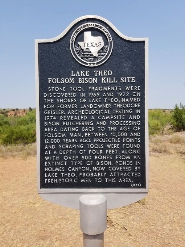
Stone tool fragments were discovered in 1965 and 1972 on the shores of Lake Theo, named for former landowner Theodore Geisler. Archeological testing in 1974 revealed a campsite and bison butchering and processing area dating back to the age of Folsom man, between 10,000 and 12,000 years ago. Projectile points and scraping tools were found at a depth of four feet, along with over 500 bones from an extinct type of bison. Ponds in Holmes Canyon, now covered by Lake Theo, probably attracted prehistoric men to this area.
Erected 1978 by Texas Historical Commission. (Marker Number 3012.)
Topics. This historical marker is listed in these topic lists: Animals • Paleontology.
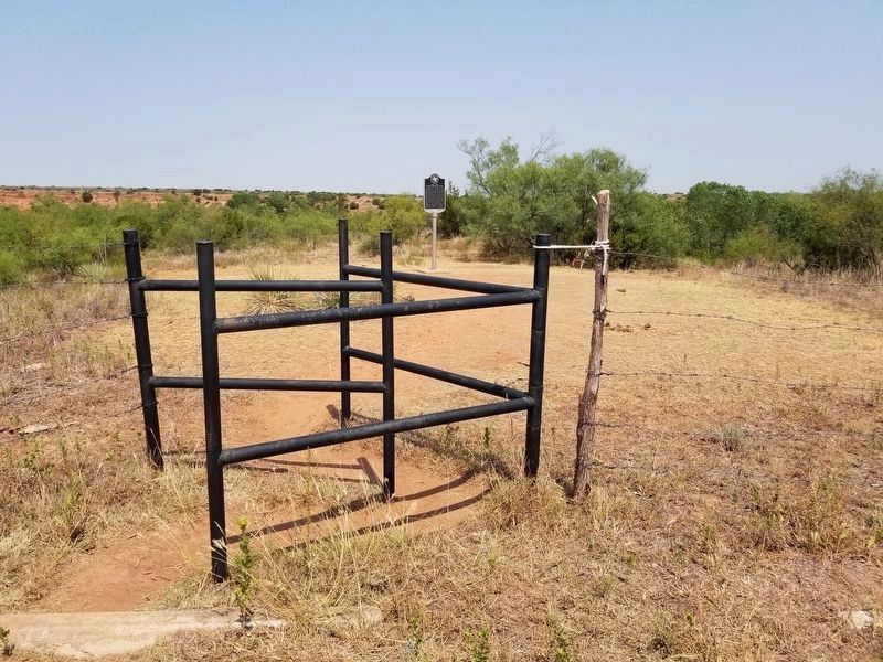
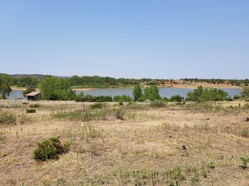
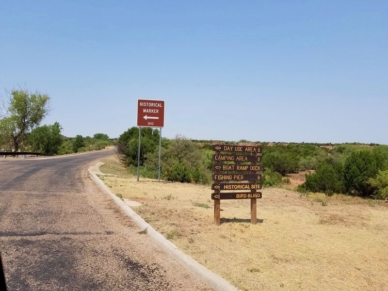
Location. 34° 24.929′ N, 101° 4.223′ W. Marker is in Quitaque, Texas, in Briscoe County. Marker is on Park Road, 1.7 miles west of Ranch to Market Road 1065. The marker is on the west side of Lake Theo inside Caprock Canyons State Park. From Main Street in Quitaque drive approx. 3 miles north, then take the road to enter the park and drive approx 1.7 miles to the west part of the lake. Touch for map. Marker is in this post office area: Quitaque TX 79255, United States of America. Touch for directions.
Other nearby markers. At least 8 other markers are within 8 miles of this marker, measured as the crow flies. Natural Disturbance-Lifeblood of the Prairies (approx. 0.9 miles away); Home for 12,000 Years (approx. 2.2 miles away); Quanah Parker Trail (approx. 3.7 miles away); Resthaven Cemetery (approx. 4.3 miles away); William E. Schott (approx. 4˝ miles away); a different marker also named Quanah Parker Trail (approx. 4.7 miles away); Gasoline Cotton Gin (approx. 6 miles away); Camp Resolution (approx. 8.1 miles away). Touch for a list and map of all markers in Quitaque.
Credits. This page was last revised on August 23, 2020. It was originally submitted on August 23, 2020, by Allen Lowrey of Amarillo, Texas. This page has been viewed 760 times since then and 113 times this year. Photos: 1, 2, 3, 4. submitted on August 23, 2020, by Allen Lowrey of Amarillo, Texas. • J. Makali Bruton was the editor who published this page.


