San Francisco Soyaniquilpan in Soyaniquilpan, Mexico State, Mexico — The Central Highlands (North America)
Parish of San Francisco de Asís
Herencia Otomí
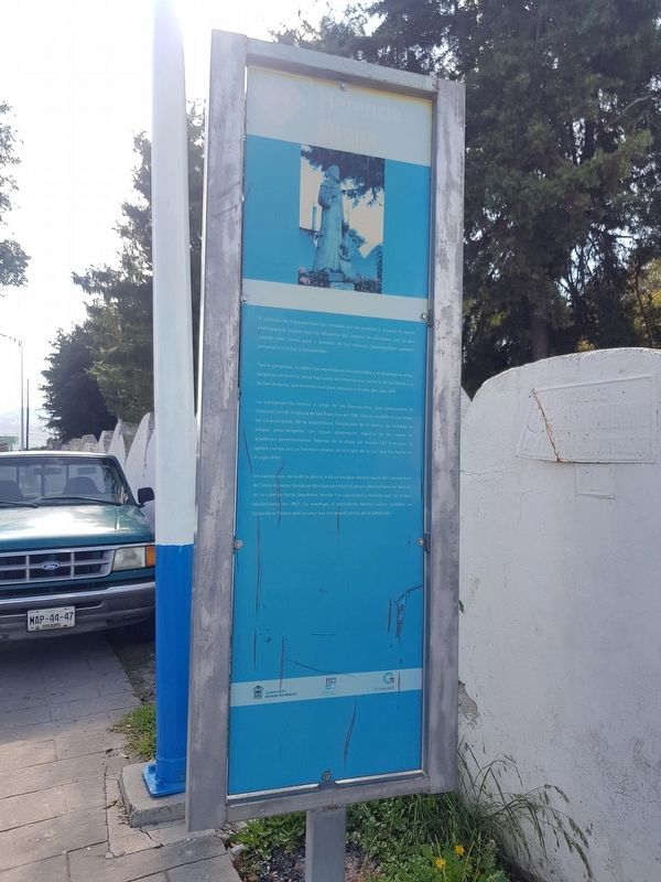
El poblado de Soyaniquilpan fue fundado por los otomíes y, durante la época prehispánica, estaba bajo la influencia del senorío de Xilotepec, por lo que cuando este último pasó a dominio de los mexicas, Soyaniquilpan también comenzó a tributar a Tenochtitlan.
Tras la conquista, la región fue repartida en encomiendas y, al disgregarse estas, surgieron en la zona varias haciendas de importancia, como la de La Goleta y la de San Antonio, que tuvieron una gran bonanza a finales del siglo XVII.
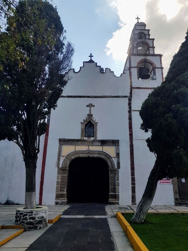
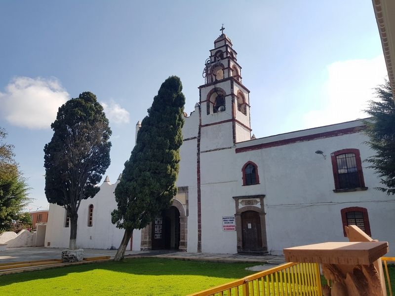
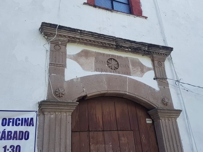
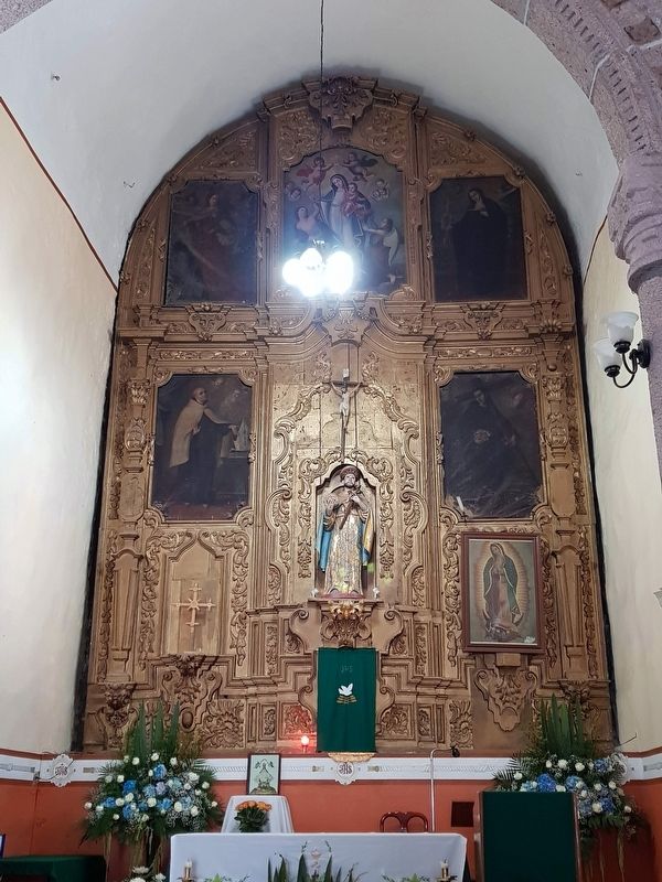
La evangelización estuvo a cargo de los franciscanos, que comenzaron la Construcción de la Iglesia de San Francisco en 1580. Este es un edificio con todas las caracteristicas de la arquitectura franciscana de la época. Su fachada es simple, pero elegante, con toques platerescos, algunos de los cuales se añadieron posteriormente. Además de la efigie del propio San Francisco, la Iglesia cuenta con un hermoso retablo de la Virgen de la Luz, que fue hecho en el siglo XVIII.
Se supone que, cerca de la iglesia, está un antiguo mesón, parte del Camino Real de Tierra Adentro, donde se dice que pernoctó el propio Maximiliano de Austria, en su camino hacia Querétaro, donde fue capturado y fusilado por las tropas republicanas en 1867. Su enemigo, el presidente Benito Juárez, también se hospedó el mismo año en una casa cercana al centro de la población.
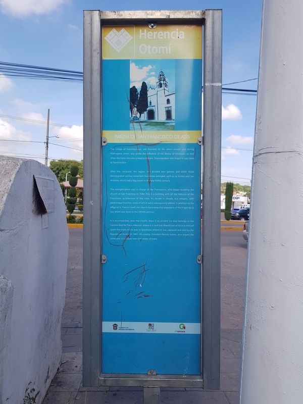
Parish of San Francisco de Asís
The village of Soyaniquilpan was founded by the otomí people and during Prehispanic times, was under the influence of the Manor of Xilotepec, so that when the latter became a mexica domain, Soyaniquilpan also began to pay taxes to Tenochtitlán.
After the conquest, the region was divided into parcels and when these disintegrated various important haciendas emerged, such as La Goleta and San Antonio, which had a big boom in the late XVIIth century.
The evangelization was in charge of the Franciscans, who began building the church of San Francisco in 1580. This is a building with all the features of the Franciscan architecture of the time. Its facade is simple, but elegant, with plateresque touches, some of which were subsequently added. In addition to the effigy of St. Francis itself, the church has a beautiful altarpiece of the Virgen de la Luz which was done in the XVIIIth century.
It is assumed that, near the church, there is an ancient inn that belongs to the Camino Real de Tierra Adentro, where it is said
that Maximilian of Austria himself spent the night on his way to Querétaro where he was captured and shot by the Republican troops in 1867. His enemy, President Benito Juárez, also stayed the same year in a house near the center of town.
Erected by Gobierno del Estado de México.
Topics. This historical marker is listed in these topic lists: Colonial Era • Native Americans • Settlements & Settlers. A significant historical year for this entry is 1580.
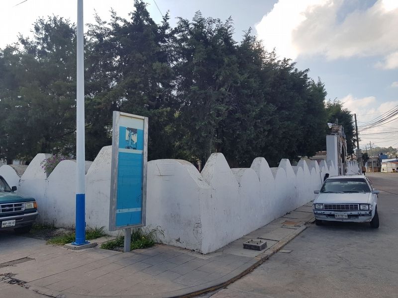
Location. 20° 0.789′ N, 99° 31.619′ W. Marker is in San Francisco Soyaniquilpan, Estado de Mexico (Mexico State), in Soyaniquilpan. Marker is at the intersection of 16 de Septiembre and Manuel Ávila Camacho, on the right when traveling north on 16 de Septiembre. Touch for map. Marker is in this post office area: San Francisco Soyaniquilpan MEX 54280, Mexico. Touch for directions.
Other nearby markers. At least 8 other markers are within 8 kilometers of this marker, measured as the crow flies. The Bicentennial Tree (within shouting distance of this marker); Soyaniquilpan (within shouting distance of this marker); Soyaniquilpan de Juárez (about 90 meters away, measured in a direct line); Chapel of the Virgen of Carmen (approx. 0.3 kilometers away); Municipality of Jilotepec (approx. 6.7 kilometers away); Famous Sons of Jilotepec (approx. 6.8 kilometers away); Jilotepec
(approx. 6.8 kilometers away); Benito Juárez Memorial (approx. 6.8 kilometers away). Touch for a list and map of all markers in San Francisco Soyaniquilpan.
Credits. This page was last revised on August 24, 2020. It was originally submitted on August 24, 2020, by J. Makali Bruton of Accra, Ghana. This page has been viewed 146 times since then and 20 times this year. Photos: 1, 2, 3, 4, 5, 6, 7. submitted on August 24, 2020, by J. Makali Bruton of Accra, Ghana.
