Manassas in Prince William County, Virginia — The American South (Mid-Atlantic)
7th Georgia Regiment

Photographed By Shane Oliver, February 11, 2017
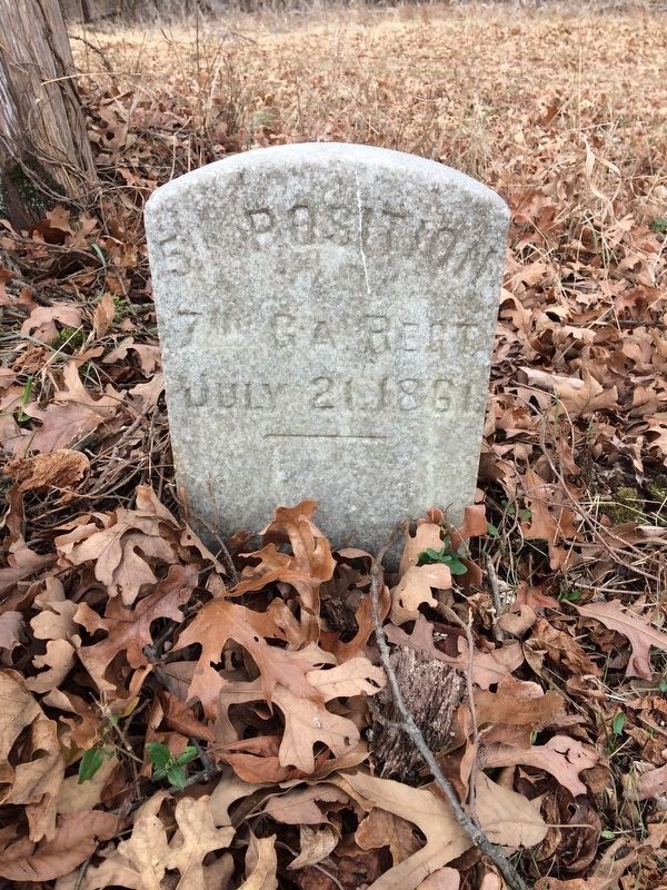
1. 7th Georgia Regiment Marker
This is one of several markers dedicated by the 7th Georgia Regiment (CSA) on the Manassas Battlefield after the Civil War. Only two of the original 7th Georgia Markers remain - one behind the Henry Hill Visitor Center and this one on the backside of Henry Hill.
7th GA Regt.
July 21, 1861.
Topics. This historical marker is listed in this topic list: War, US Civil. A significant historical date for this entry is July 21, 1861.
Location. 38° 48.97′ N, 77° 31.012′ W. Marker is in Manassas, Virginia, in Prince William County. Marker can be reached from Sudley Road (U.S. 234) half a mile south of Lee Highway (Route 29), on the right when traveling north. Touch for map. Marker is at or near this postal address: 6511 Sudley Road, Manassas VA 20109, United States of America. Touch for directions.
Other nearby markers. At least 8 other markers are within walking distance of this marker. Historic Road Trace (about 700 feet away, measured in a direct line); Various Sections of Virginia Artillery (about 700 feet away); Historic Farm Road Trace (about 700 feet away); Confederates Rally (about 800 feet away); a different marker also named Confederates Rally (approx. 0.2 miles away); Like a Stonewall (approx. 0.2 miles away); "…Like a Stone Wall" (approx. 0.2 miles away); War-Time Henry Hill (approx. 0.2 miles away). Touch for a list and map of all markers in Manassas.
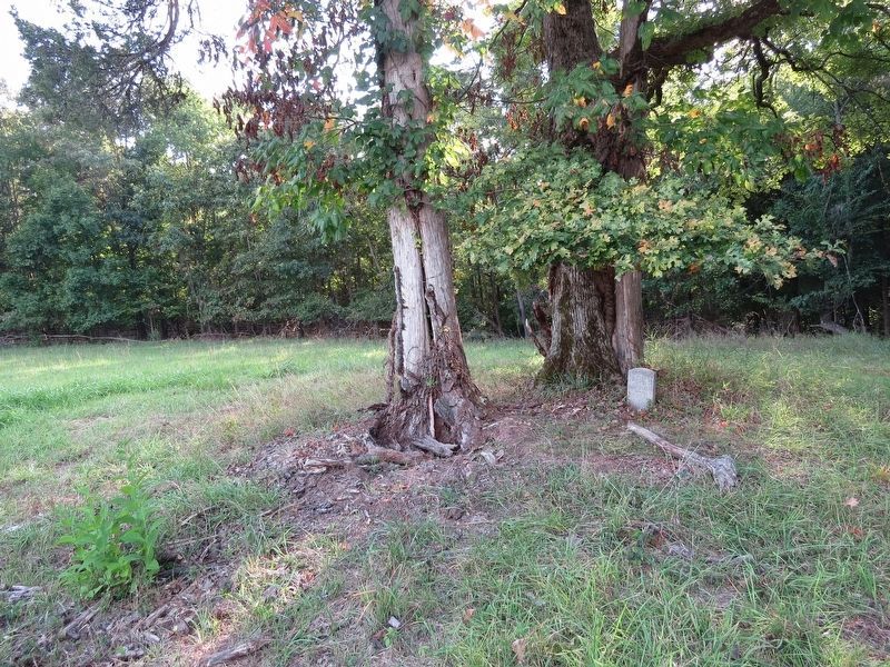
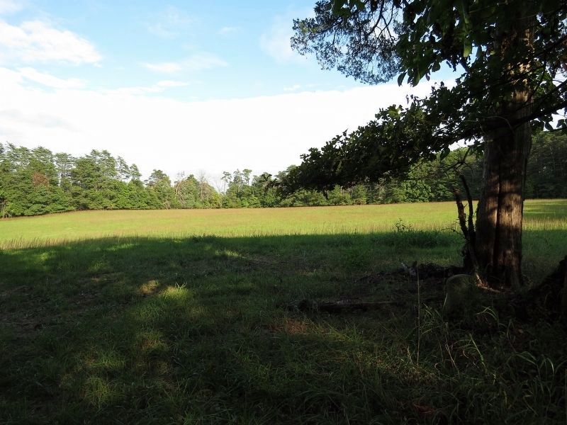
More about this marker. Marker is located on the backside of Henry Hill. To reach the marker, take the trail near the "Historic Road Trace" Marker. You will come upon an intersection with a sign directing you to the Portici/Stone Bridge. (Stops 11 & 12) Take the trail OPPOSITE the direction the sign is pointing and follow the treeline about ½ a mile until you see a small gravestone-like marker underneath one of the trees.
Being that this is one of the most difficult monuments to find in the park, a GPS would be recommended, unless you are familiar with the battlefield's hiking & bridle trail system.
Also see . . . Manassas National Battlefield Park. National Park Service (Submitted on February 21, 2017.)
Credits. This page was last revised on August 26, 2020. It was originally submitted on February 19, 2017. This page has been viewed 356 times since then and 21 times this year. Last updated on August 26, 2020, by Bradley Owen of Morgantown, West Virginia. Photos: 1. submitted on February 19, 2017, by Shane Oliver of Richmond, Virginia. 2, 3. submitted on September 18, 2017, by Samuel Paik of Gainesville, Virginia. • J. Makali Bruton was the editor who published this page.

