Near Perryton in Ochiltree County, Texas — The American South (West South Central)
The Buried City
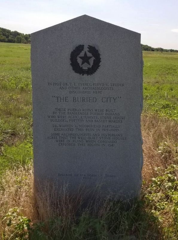
In 1907, Dr. T. L. Eyerly, Floyd V. Studer and other archaeologists discovered here, "The Buried City." These Pueblo ruins were built by the Panhandle Pueblo Indians who were agriculturists, stone house builders, pottery and basket makers. Dr. Warren K. Moorehead partially excavated this ruin in 1919-1920. Some archaeologists and historians agree that the well-built stone houses were in ruins when Coronado explored this region in 1541.
Erected 1936 by State of Texas. (Marker Number 5980.)
Topics and series. This historical marker is listed in these topic lists: Anthropology & Archaeology • Colonial Era • Native Americans. In addition, it is included in the Texas 1936 Centennial Markers and Monuments series list.
Location. 36° 13.811′ N, 100° 39.731′ W. Marker is near Perryton, Texas, in Ochiltree County. Marker can be reached from County Road U. The marker is south of County Road U on private property. Touch for map. Marker is in this post office area: Perryton TX 79070, United States of America. Touch for directions.
Other nearby markers. At least 8 other markers are within 14 miles of this marker, measured as the crow flies. Site of the Trading Post (approx. 2˝ miles away); Ochiltree Cemetery (approx. 9 miles away); Ochiltree Townsite (approx. 9 miles away); Sheriff James Sidney Talley (approx. 9.2 miles away); Old Blasingame Home (approx. 13.4 miles away); George Morgan Perry (approx. 13.8 miles away); Colonel William B. Ochiltree (approx. 13.8 miles away); Plainview Hardware Company Building (approx. 14 miles away). Touch for a list and map of all markers in Perryton.
More about this marker. Note: The coordinates given are for the entrance to the private property where the marker is located. The marker is not visible from the road.
Also see . . . Buried City. Texas State Historical Association website entry (Submitted on August 28, 2020.)
Credits. This page was last revised on January 15, 2024. It was originally submitted on August 27, 2020. This page has been viewed 512 times since then and 65 times this year. Photo 1. submitted on August 27, 2020. • J. Makali Bruton was the editor who published this page.
