Mississippi River
America's greatest river system and transportation artery
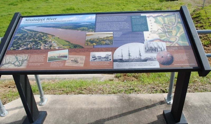
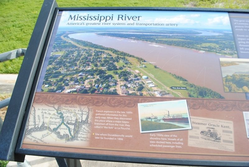
This great waterway is the most prominent natural feature of Louisiana. The high bank, or levee, you are standing on protects Donaldsonville from flooding. A birds-eye view reveals we are located between two great river bends.
Events on and around the river here have had a lasting impact on the history of the United States. The first ocean-going ship passed here in 1542, but native peoples lived here thousands of years before. If you take a short walk to your left you will see a modern pumping station which marks the historic connection with Bayou Lafourche.
Photo Captions
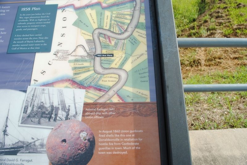
1858 Plan
In the years before the Civil War, sugar plantations lined the riverbanks. With no highways or railways, property owners needed river access to transport crops, goods, and passengers.
A ferry docked here carried travelers across the river. Note also the mouth of Bayou Lafourche, another natural water route to the Gulf of Mexico at that time.
French explorers in the late 1600s gathered information for this early map. When they discovered this place where a major bayou branched off from the river, the called it "the fork" or La Fourche.
•Site where Donaldsonville would later be founded in 1806.
Early 1900s view of the shoreline here. Vessels of all sizes docked here, including scheduled passenger lines.
Union
gunboats tied up hee in the 1860s where they destroyed a dock used by Confederates to fire at U.S. naval vessels.The U.S.S. Hartford served as the flagship of Admiral David G. Farragut. In the summer of 1862 he wrote to the citizens of Donaldsonville, "Every time my boats are fired upon, I will burn a portion of yuor town."
Admiral Farragut (left) aboard ship with other Union officers.
In August 1862, Union gunboats fired shells like this one at Donaldsonville in retaliation
for hostile fire from Confederate guerillas in town. Much of the town was destroyed.
Erected by Ascension Parish Tourism Commission.
Topics. This historical marker is listed in these topic lists: Colonial Era • Exploration • Settlements & Settlers • War, US Civil.
Location. 30° 6.449′ N, 90° 59.264′ W. Marker is in Donaldsonville, Louisiana, in Ascension Parish. Marker can be reached from Mississippi Street near Crescent Park Circle, on the right when traveling north. Touch for map. Marker is in this post office area: Donaldsonville LA 70346, United States of America. Touch for directions.
Other nearby markers. At least 8 other markers are within walking distance of this marker. Historic Donaldsonville (a few steps from this marker); Dedicated to the Memory Of (about 300 feet away, measured in a direct line); Crescent Park (about
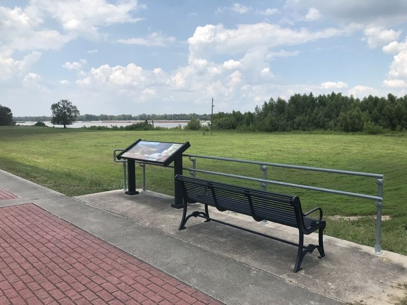
More about this marker. Marker is on the levee at the Crescent Park.
Credits. This page was last revised on August 27, 2020. It was originally submitted on August 27, 2020, by Cajun Scrambler of Assumption, Louisiana. This page has been viewed 225 times since then and 26 times this year. Photos: 1, 2, 3, 4. submitted on August 27, 2020, by Cajun Scrambler of Assumption, Louisiana.


