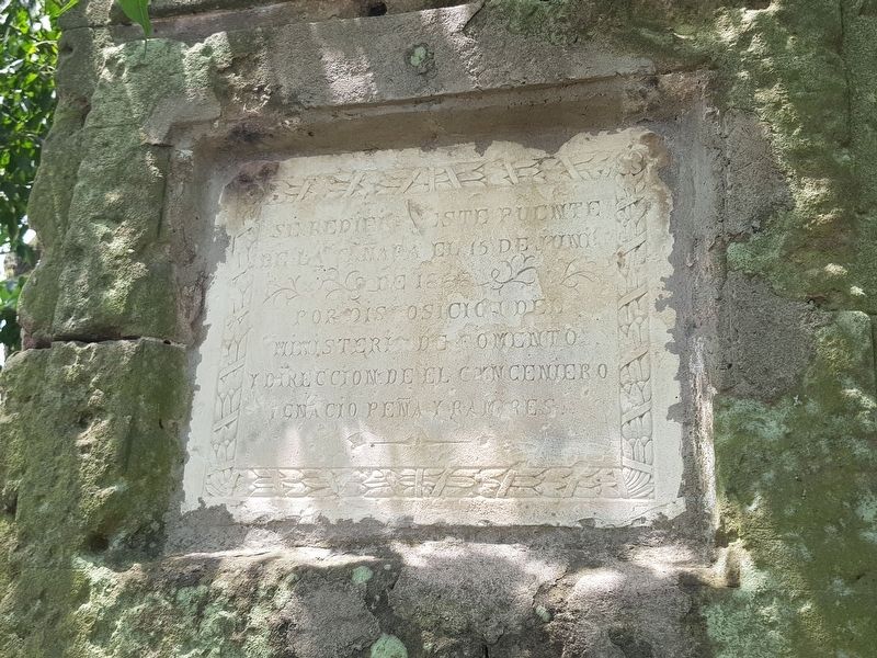
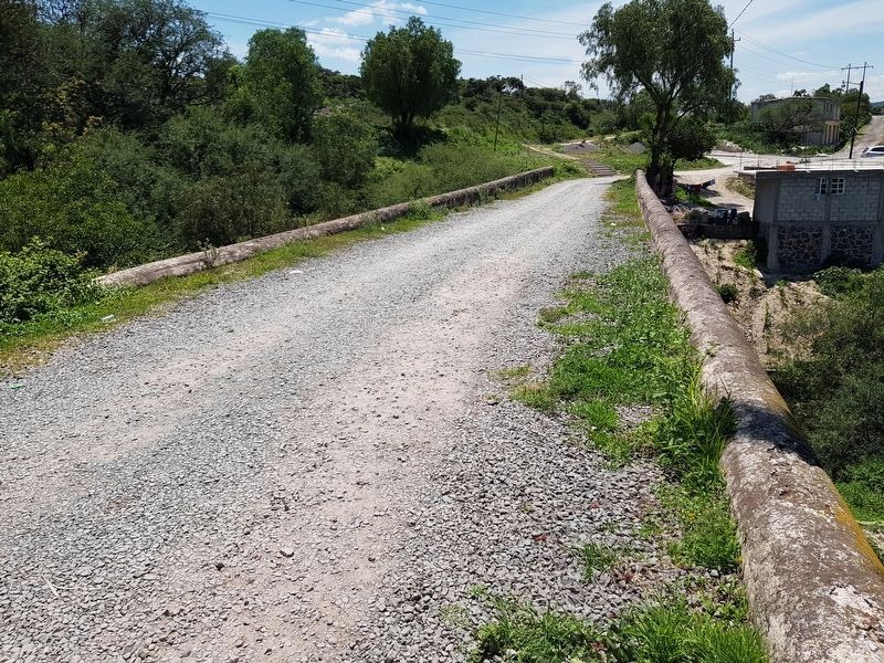
Cañada de Madero in Tepeji del Río, Hidalgo, Mexico — The Central Highlands (North America)
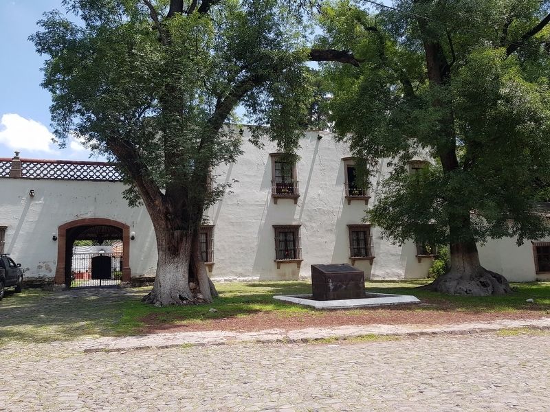
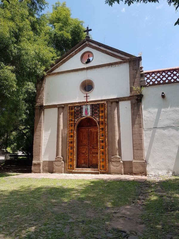
La Hacienda de la Cañada
Camino Real de Tierra Adentro
— The Royal Inland Road —
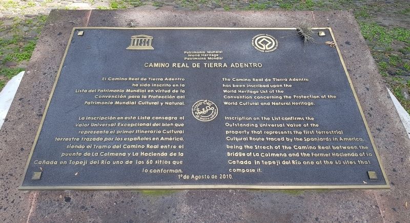
El Camino Real de Tierra Adentro ha sido inscrito en la Lista del Patrimonio Mundial en virtud de la Convención para la Protección del Patrimonio Mundial Cultural y Natural.
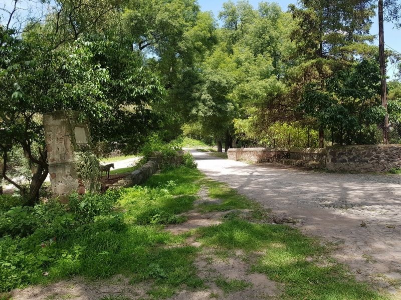
La inscripción en esta Lista consagra el Valor Universal Excepcional del bien que representa el primer itinerario Cultural terrestre trazado por los españoles en América, siendo el Tramo del Camino Real entre el puente de La Colmena y La Hacienda de la Cañada en Tepeji del Río uno de los 60 sitios que lo conforman.
1º de Agosto de 2010
English translation:
The Camino Real de Tierra Adentro has been inscribed upon the World Heritage List of the Convention concerning the Protection of the World Cultural and Natural Heritage.
Inscription on the List confirms the Outstanding Universal Value of the property that represents the first terrestrial Cultural Route traced by the Spaniards in America, being the Strech of the Camino Real between the Bridge of La Colmena and the Former Hacienda of La Cañada in Tepeji del Río one of the 60 sites that compose it.
August 1, 2010
Erected 2010 by United Nations Educational, Scientific and Cultural Organization (UNESCO).
Topics and series. This historical marker is listed in these topic lists: Bridges & Viaducts • Colonial Era • Industry & Commerce • Roads & Vehicles. In addition, it is included in the UNESCO World Heritage Sites series list. A significant historical date for this entry is August 1, 2010.
Location. 19° 58.194′ N, 99° 23.745′ W. Marker is in Cañada de Madero, Hidalgo, in Tepeji del Río. Marker is on Camino Real de Tierra Adentro just east of Carretera Tepeji del Río - Tula, on the left when traveling east. Touch for map. Marker is in this post office area: Cañada de Madero HGO 42858, Mexico. Touch for directions.
Other nearby markers. At least 8 other markers are within 13 kilometers of this marker, measured as the crow flies. Melchor Ocampo (approx. 7.2 kilometers away); Camino Real de Tierra Adentro (approx. 9.2 kilometers away); The Founding of Tepeji del Río (approx. 9.2 kilometers away); The Atrium's Cross at Tula (approx. 11 kilometers away); Building K (approx. 11.8 kilometers away); Ball Court 2 (approx. 11.9 kilometers away); The Wall of Skulls (approx. 11.9 kilometers away); Pyramid C and the Adoratory (approx. 11.9 kilometers away).
Credits. This page was last revised on August 28, 2020. It was originally submitted on August 28, 2020, by J. Makali Bruton of Accra, Ghana. This page has been viewed 506 times since then and 102 times this year. Photos: 1, 2, 3, 4, 5, 6, 7. submitted on August 28, 2020, by J. Makali Bruton of Accra, Ghana.
