San Saba in San Saba County, Texas — The American South (West South Central)
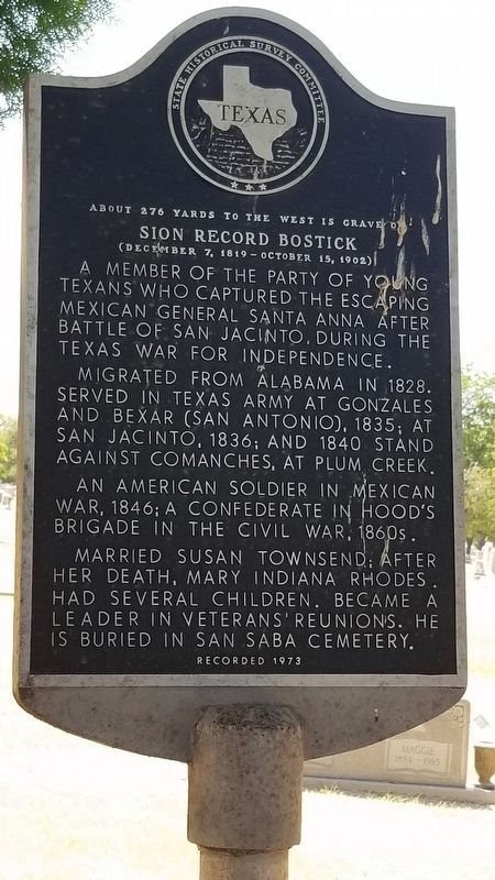
Sion Record Bostick
About 276 yards to the west is grave of
— (December 7, 1819 - October 15, 1902) —
A member of the party of young Texans who captured the escaping Mexican General Santa Anna after Battle of San Jacinto, during the Texas War for Independence.
Migrated from Alabama in 1828. Served in Texas army at Gonzales and Bexar (San Antonio), 1835; at San Jacinto, 1836; and 1840 stand against Comanches, at Plum Creek.
An American soldier in Mexican War, 1846; a Confederate in Hood's Brigade in the Civil War, 1860s.
Married Susan Townsend; after her death, Mary Indiana Rhodes. Had several children. Became a leader in veterans' reunions. He is buried in San Saba Cemetery.
Recorded 1973
Erected 1973 by State Historical Survey Committee. (Marker Number 4712.)
Topics. This historical marker is listed in these topic lists: Cemeteries & Burial Sites • War, Texas Independence • Wars, US Indian. A significant historical year for this entry is 1828.
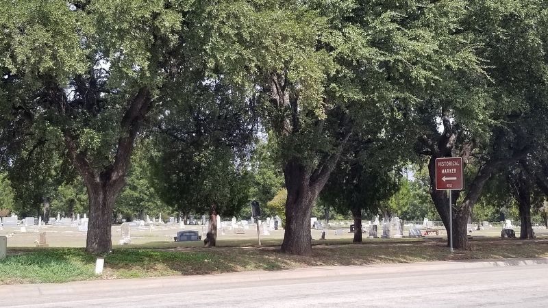
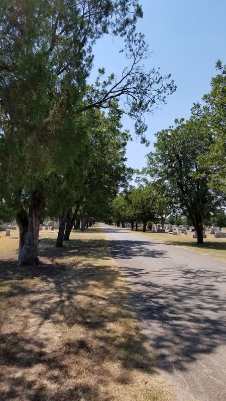
Location. 31° 12.179′ N, 98° 43.119′ W. Marker is in San Saba, Texas, in San Saba County. Marker is on State Highway 16, 0.1 miles East Lewis Street, on the left when traveling north. Touch for map. Marker is in this post office area: San Saba TX 76877, United States of America. Touch for directions.
Other nearby markers. At least 8 other markers are within walking distance of this marker. San Saba Cemetery (within shouting distance of this marker); James Louis & Eleanor Austin Baker (about 600 feet away, measured in a direct line); First Methodist Church (approx. half a mile away); San Saba County Courthouse (approx. half a mile away); United Confederate Veterans William P. Rogers Camp No. 322 (approx. half a mile away); The Texas Rangers and the San Saba Mob (approx. half a mile away); Estep-Burleson Building (approx. half a mile away); First Baptist Church of San Saba (approx. half a mile away). Touch for a list and map of all markers in San Saba.
Credits. This page was last revised on October 18, 2020. It was originally submitted on August 31, 2020, by James Hulse of Medina, Texas. This page has been viewed 344 times since then and 46 times this year. Photos: 1. submitted on August 31, 2020, by James Hulse of Medina, Texas. 2. submitted on October 17, 2020, by James Hulse of Medina, Texas. 3. submitted on August 31, 2020, by James Hulse of Medina, Texas. • J. Makali Bruton was the editor who published this page.


