Novi in Oakland County, Michigan — The American Midwest (Great Lakes)
A Piece of Novi's History / The Fuerst Farmstead
Inscription.
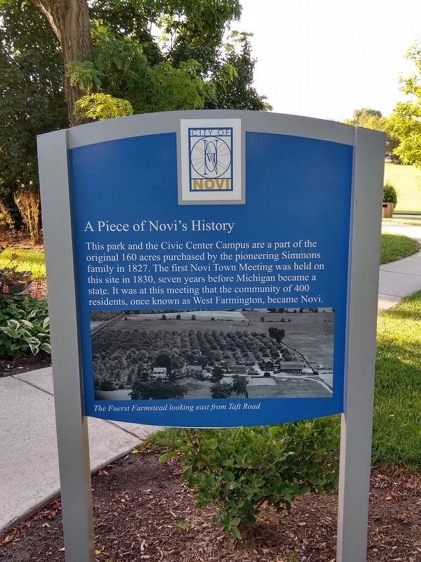
A Piece of Novi's History
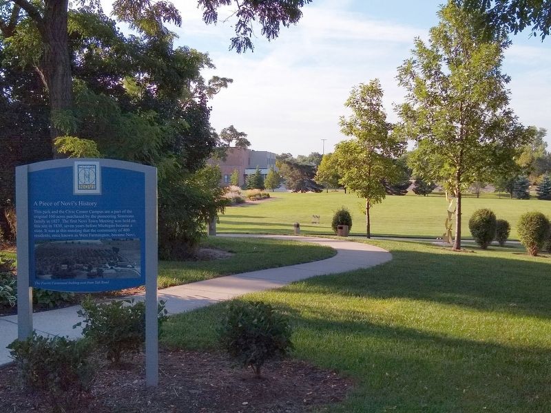
This park and the Civic Center Campus are a part of the original 160 acres purchased by the pioneering Simmons family in 1827. The first Novi Town Meeting was held on this site in 1830, seven years before Michigan became a state. It was at this meeting that the community of 400 residents, once known as West Farmington, became Novi.
Image caption: The Fuerst Farmstead looking east from Taft Road.
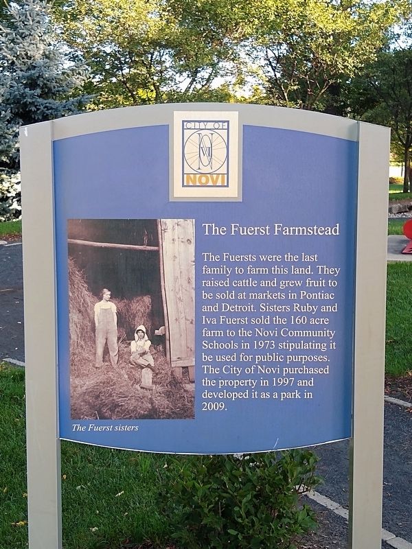
The Fuerst Farmstead
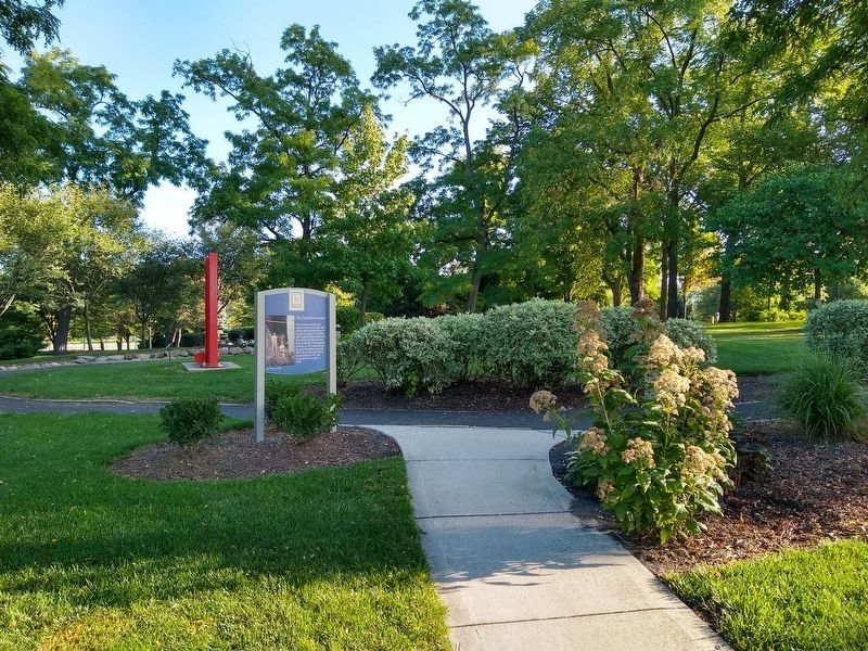
The Fuersts were the last family to farm this land. They raised cattle and grew fruit to be sold at markets in Pontiac and Detroit. Sisters Ruby and Iva Fuerst sold the 160 acre farm to the Novi Community Schools in 1973 stipulating it be used for public purposes. The City of Novi purchased the property in 1997 and developed it as a park in 2009.
Image caption: The Fuerst sisters
Topics. This historical marker is listed in these topic lists: Agriculture • Government & Politics • Parks & Recreational Areas. A significant historical year for this entry is 1827.
Location. 42° 27.903′ N, 83° 29.611′ W. Marker is in Novi, Michigan, in Oakland County. Marker can be reached from the intersection of West Ten Mile Road and Taft Road. Marker is at the top of the hill in Fuerst Park. Touch for map . Marker is at or near this postal address: 45325 West Ten Mile Road, Novi MI 48375, United States of America. Touch for directions.
Other nearby markers. At least 8 other markers are within 2 miles of this marker, measured as the crow flies. Novi Township Hall (within shouting distance of this marker); High Performance Legend (about 600 feet away, measured in a direct line); Colonel Samuel White / Samuel White Homestead (approx. one mile away); Novi Cemetery (approx. 1.3 miles away); Grand River Bridge (approx. 1.3 miles away); Novi's Crucial Crossing (approx. 1.3 miles away); Approaching "Novi Corners" (approx. 1.4 miles away); Knapp Cemetery (approx. 1˝ miles away). Touch for a list and map of all markers in Novi.
Credits. This page was last revised on September 4, 2020. It was originally submitted on September 4, 2020, by Joel Seewald of Madison Heights, Michigan. This page has been viewed 245 times since then and 18 times this year. Photos: 1, 2, 3, 4. submitted on September 4, 2020, by Joel Seewald of Madison Heights, Michigan.


