Near Shevlin in Clearwater County, Minnesota — The American Midwest (Upper Plains)
Patterson's Homestead
Acquiring a Homestead
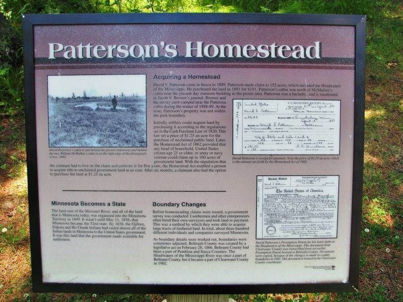
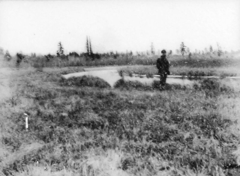
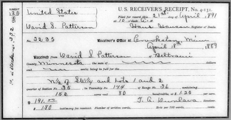
David S. Patterson came to Itasca in 1889. Patterson made claim to 152 acres, which included the Headwaters of the Mississippi. He purchased the land in 1891 for $191. Patterson's cabin was north of McMullen's cabin near the present day museum building in the picnic area. Patterson was a bachelor, and is mentioned in Jacob V. Brower's journal. Brower and his survey crew camped near the Patterson cabin during the winter of 1888-89. At the time, Patterson's property was not within the park boundary.
Initially settlers could acquire land by purchasing it according to the regulations set in the Cash Purchase Law of 1820. This law set a price of $1.25 an acre for the purchase of unclaimed public land. Later, the Homestead Act of 1862 provided that any head of household, United States citizen age 21 or older, or army or navy veteran could claim up to 160 acres of government land. With the stipulation that the claimant had to live on the claim and cultivate it for five years, the Homestead Act enabled a person to acquire title to unclaimed government land at no cost. After six months, a claimant also had the option to purchase the land at $1.25 an acre.
Minnesota Becomes a State
The land east of the Missouri River, and all of the land that is Minnesota today, was organized into the Minnesota Territory in 1849. It wasn't until May 11, 1858, that Minnesota became the 32nd state. By 1858, the Ojibwe, Dakota and Ho Chunk Indians had ceded almost all of the Indian lands in Minnesota to the United States government. It was this land that the government made available for settlement.
Boundary Changes
Before homesteading claims were issued, a government survey was conducted. Lumbermen and other entrepreneurs often hired their own surveyors and took land as payment. This was a method by which they were able to acquire large tracts of timbered land. In total, about three hundred different individuals and companies surveyed Minnesota.
As boundary details were worked out, boundaries were sometimes adjusted. Beltrami County was created by a legislative act on February 28, 1866. Beltrami County had been a part of Pembina and Itasca Counties. The Headwaters of the Mississippi River was once a part of Beltrami County, but it became a part of Clearwater County in 1902.
Erected by Minnesota Department of Natural Resources, Parks and Recreation Division, Interpretive Services.
Topics. This historical marker is listed in these topic lists: Native Americans • Parks & Recreational Areas • Settlements & Settlers • Waterways & Vessels. A significant historical year for this entry is 1889.
Location.
47° 14.496′ N, 95° 12.383′ W. Marker is near Shevlin, Minnesota, in Clearwater County. Marker can be reached from County Road 117, 0.3 miles south of County Road 122. Marker is located north of the Mississippi Headwaters site, near the north end of Lake Itasca. Access is via the park trail, northeast from Mary Gibbs Mississippi Headwaters Center. Touch for map. Marker is in this post office area: Shevlin MN 56676, United States of America. Touch for directions.
Other nearby markers. At least 8 other markers are within 4 miles of this marker, measured as the crow flies. Old Northwest Territory (about 700 feet away, measured in a direct line); Search for the Mississippi's Source (approx. 0.2 miles away); Itasca State Park Centennial (approx. ¼ mile away); Wegmann Store Replica (approx. 0.3 miles away); Theodore and Johanna Wegmann (approx. 0.3 miles away); Geology of Minnesota (approx. 2½ miles away); From a Day When Trees Were Trees (approx. 3.6 miles away); Itasca Lake (approx. 3.7 miles away). Touch for a list and map of all markers in Shevlin.
Also see . . .
1. Land Act of 1820 (Wikipedia). At the time, these lands were located on the frontier within the Congress Lands of Ohio and elsewhere in the Northwest Territory and Missouri Territory, in what was then "The West". Although the Land Act helped create a new age of Western growth and influence, it also increased the confiscation of
land from Native Americans. (Submitted on September 7, 2020, by Cosmos Mariner of Cape Canaveral, Florida.)
2. The Homestead Act of 1862. The Homestead Act of 1862 has been called one of the most important pieces of Legislation in the history of the United States. Signed into law in 1862 by Abraham Lincoln after the secession of southern states, this Act turned over vast amounts of the public domain to private citizens. 270 millions acres, or 10% of the area of the United States was claimed and settled under this act. (Submitted on September 7, 2020, by Cosmos Mariner of Cape Canaveral, Florida.)

4. Marker detail: David Patterson’s Preemption Patent
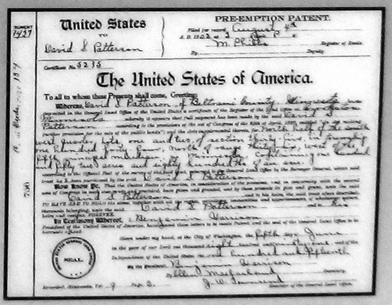
David Patterson’s Preemption Patent for his land claim at the Headwaters of the Mississippi. This document from Clearwater County was transcribed from an earlier Preemption Patent housed at Beltrami County. Documents were copied, because of the changes made to county boundaries in 1902. This document is housed at the Clearwater County Courthouse.
Credits. This page was last revised on September 7, 2020. It was originally submitted on September 5, 2020, by Cosmos Mariner of Cape Canaveral, Florida. This page has been viewed 164 times since then and 13 times this year. Photos: 1, 2, 3, 4. submitted on September 6, 2020, by Cosmos Mariner of Cape Canaveral, Florida.


