San Juan el Alto in Pénjamo, Guanajuato, Mexico — The Central Highlands (North America)
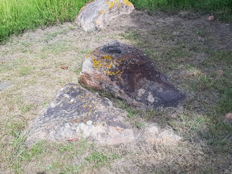
Petroglyphs at Plazuelas
Inscription.
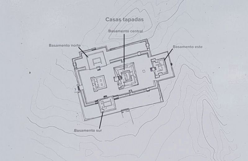
Este modelo ayudó a los arqueólogos a entender cómo era el sitio y a planificar sus excavaciones.
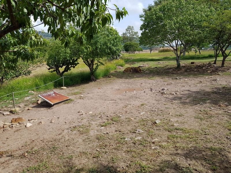
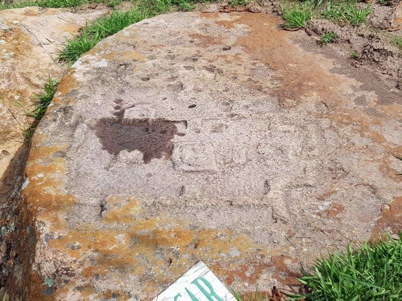
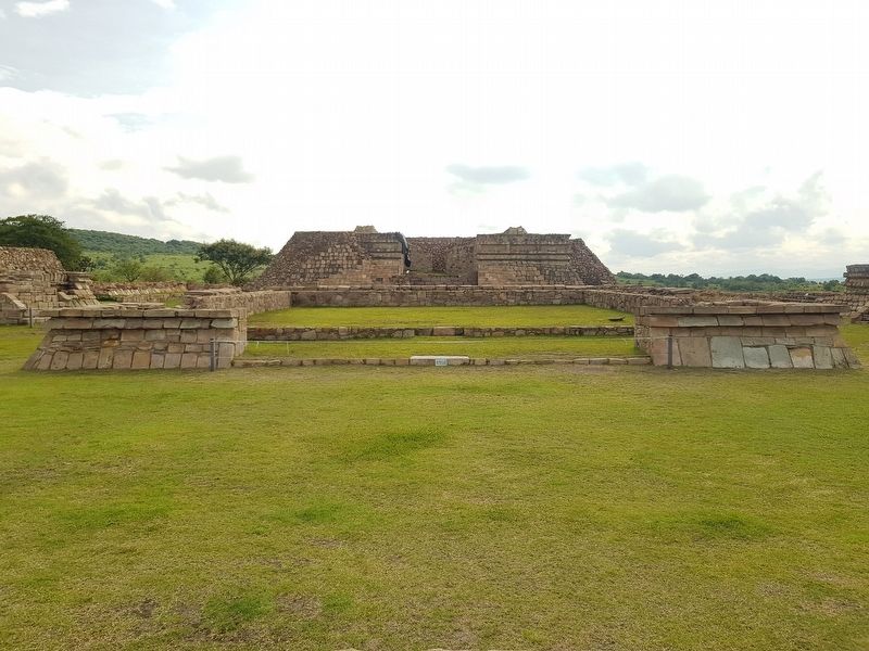
In this section the rocks are carved with a number of symbols dedicated to the rain and fertility. There is a notable miniature scale model of the Casas Tapadas that displays the distribution of the pyramids in detail.
This model helped the archaeologists to understand how the site was and to plan their excavations.
Erected by Instituto Nacional de Antropología e Historia (INAH).
Topics. This historical marker is listed in these topic lists: Anthropology & Archaeology • Native Americans.
Location. 20° 24.205′ N, 101° 49.663′ W. Marker is in San Juan el Alto, Guanajuato, in Pénjamo. Marker can be reached from Camino a San Juan el Alto, 4 kilometers north of Route 110, on the left when traveling north. Touch for map. Marker is in this post office area: San Juan el Alto GTO 36935, Mexico. Touch for directions.
Other nearby markers. At least 8 other markers are within 24 kilometers of this marker, measured as the crow flies. The Ball Court of Plazuelas (about 120 meters away, measured in a direct line); Plazuelas Archaeological Zone (about 150 meters away); General Lázaro Cárdenas (approx. 11.2 kilometers away); 175th Anniversary of the Beginning of Independence (approx. 11.2 kilometers away); 209th Anniversary of the Death of Hidalgo (approx. 11.3 kilometers away); Marriage of Miguel Hidalgo's Parents (approx. 11.3 kilometers away); 200th Anniversary of the Birth of Hidalgo (approx. 23.7 kilometers away); Miguel Hidalgo's Birth House (approx. 23.7 kilometers away). Touch for a list and map of all markers in San Juan el Alto.
Credits. This page was last revised on September 9, 2020. It was originally submitted on September 9, 2020, by J. Makali Bruton of Accra, Ghana. This page has been viewed 97 times since then and 13 times this year. Photos: 1, 2, 3, 4, 5, 6, 7. submitted on September 9, 2020, by J. Makali Bruton of Accra, Ghana.
