Lake Shore - Lake Vista in New Orleans in Orleans Parish, Louisiana — The American South (West South Central)
The Point
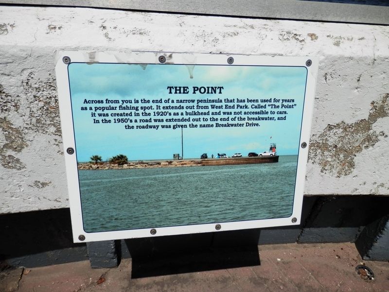
Photographed by Cajun Scrambler, September 5, 2020
1. The Point Marker
Across from you is the end of a narrow peninsula that has been used for years as a popular fishing spot. It extends out from the West End Park. Called "The Point" it was created in the 1920's as a bulkhead and was not accessible to cars. In the 1950's a road was extended out to the end of the breakwater, and the roadway was given the name Breakwater Drive.
Topics and series. This historical marker is listed in these topic lists: Animals • Parks & Recreational Areas • Waterways & Vessels. In addition, it is included in the Lighthouses series list.
Location. 30° 1.632′ N, 90° 6.799′ W. Marker is in New Orleans, Louisiana, in Orleans Parish. It is in Lake Shore - Lake Vista. It can be reached from Lakeshore Drive half a mile north of Robert E. Lee Boulevard, on the right when traveling north. Touch for map. Marker is at or near this postal address: 8001 Lakeshore Drive, New Orleans LA 70124, United States of America. Touch for directions.

Regionally, this marker is in one of Louisiana’s River Parishes. It is also in the American South, specifically in
this page online
Other nearby markers. At least 8 other markers are within 3 miles of this marker, measured as the crow flies: Lake Pontchartrain and the Pontchartrain Basin (here, next to this marker); Southern Yacht Club (a few steps from this marker); Lakefront "Seawall" (a few steps from this marker); New Basin Canal (a few steps from this marker); Lake Pontchartrain (approx. 0.7 miles away); 17th Street Canal Floodwall (approx. 0.8 miles away); Fort St. John (approx. 1.8 miles away); Beatles Only Concert Performance in Louisiana (approx. 2.7 miles away). Touch for a list and map of all markers in New Orleans.
More about this marker. Located on the grounds of the New Canal Lighthouse. The lighthouse grounds are free
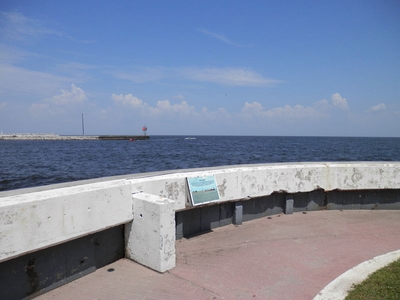
Photographed by Cajun Scrambler, September 5, 2020
2. The Point Marker
Credits. This page was last revised on February 12, 2023. It was originally submitted on September 11, 2020, by Cajun Scrambler of Assumption, Louisiana. This page has been viewed 294 times since then and 21 times this year. Photos: 1, 2. submitted on September 11, 2020, by Cajun Scrambler of Assumption, Louisiana.
