Beaufort in Beaufort County, South Carolina — The American South (South Atlantic)
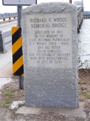
Richard V. Woods Memorial Bridge
Photographed by Mike Stroud, February 21, 2008
1. Richard Woods Memorial Bridge Marker
Western bank of Beaufort River
to the memory of
State Highway Patrolman
R.V. Woods (1935-1969)
and all other
South Carolina
Law Enforcement Officers
who died while serving
in the line of duty
Erected 1971.
Topics. This historical marker is listed in these topic lists: Bridges & Viaducts • Law Enforcement • Roads & Vehicles. A significant historical year for this entry is 1971.
Location. 32° 25.828′ N, 80° 40.198′ W. Marker is in Beaufort, South Carolina, in Beaufort County. It is on Carteret Street (U.S. 21) near Bay Street, on the right when traveling east. On the western bank of the Beaufort River. Touch for map. Marker is in this post office area: Beaufort SC 29902, United States of America. Touch for directions.

Regionally, this marker is in the Lowcountry and on the Sea Islands. It is also in the American South, specifically in the Deep South, and on the Eastern Seaboard. Globally, it is in the North Atlantic Region, North America, the Western Hemisphere, the Western World, and the Anglosphere. Historically, it finds itself in what was once New Spain, the territory of the Mississippian Culture,
this page online
Other nearby markers. At least 8 other markers are within walking distance of this marker: Great Fire of 1907 (a few steps from this marker); Brigadier General Stephen Elliott CSA (within shouting distance of this marker); Christensen-Fordham Building (within shouting distance of this marker); The Wallace House (within shouting distance of this marker); The Sam Levin Building (within shouting distance of this marker); The Capt. Francis Saltus House (about 300 feet away, measured in a direct line); Lafayette's Tour (about 300 feet away); Beaufort South Carolina Tricentennial (about 300 feet away). Touch for a list and map of all markers in Beaufort.
Another marker is no longer nearby. First Fort (was within shouting distance of this marker but has been confirmed missing).
Photographed by Mike Stroud, February 2008
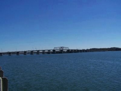
2. Richard Woods Memorial Bridge, spans the Beaufort River
Photographed by Mike Stroud, February 2008
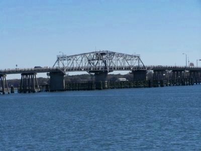
3. Richard Woods Memorial Bridge
the span -- one of two connecting Lady's Island to Port Royal Island,The Richard V. Woods Memorial Bridge in downtown Beaufort
Photographed by Mike Stroud, 2008
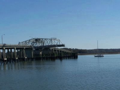
4. Richard Woods Memorial Bridge Marker
A "swing bridge" at work...opening for a sail boat,
halting traffic on US 21
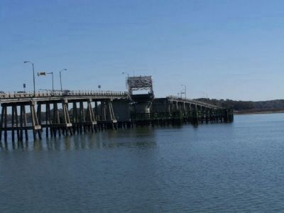
Photographed by Mike Stroud, 2008
5. Richard Woods Memorial Bridge , Beaufort, SC
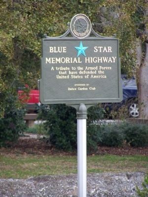
Photographed by Mike Stroud, February 21, 2008
6. Also part of a Designated Blue Star Highway
Credits. This page was last revised on October 18, 2020. It was originally submitted on January 25, 2009, by Mike Stroud of Bluffton, South Carolina. This page has been viewed 1,993 times since then and 36 times this year. Photos: 1, 2, 3, 4, 5, 6. submitted on January 25, 2009, by Mike Stroud of Bluffton, South Carolina. • Kevin W. was the editor who published this page.
