Port Isabel in Cameron County, Texas — The American South (West South Central)
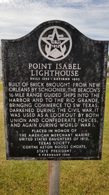
Point Isabel Lighthouse
Built 1852 • Retired 1905
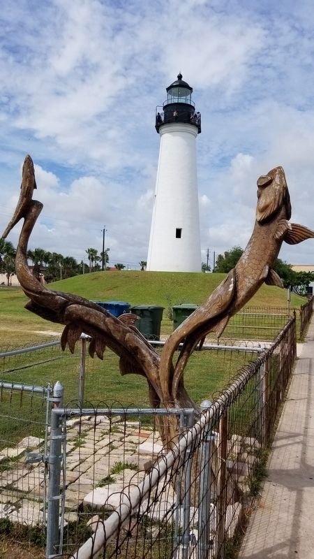
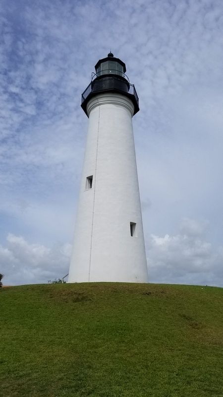
Built of brick brought from New Orleans by schooner, the beacon’s 16 mile range guided ships into the harbor and to the Rio Grande, bringing commerce to SW Texas. Darkened during the Civil War, it was used as a lookout by both Union and Confederate forces, and again during World War I.
The American Merchant Marine
United States Daughters of 1812,
Texas Society
Coryne Aston Boggs Choate,
State President
9 February 1992
Erected 1992 by United States Daughters of 1812.
Topics. This historical marker is listed in these topic lists: Industry & Commerce • War, US Civil • War, World I • Waterways & Vessels.
Location. 26° 4.679′ N, 97° 12.445′ W. Marker is in Port Isabel, Texas, in Cameron County. Marker is at the intersection of East Maxan Street and North Garcia Street, on the right when traveling east on East Maxan Street. Touch for map. Marker is in this post office area: Port Isabel TX 78578, United States of America. Touch for directions.
Other nearby markers. At least 8 other markers are within walking distance of this marker. A View from the Top (a few steps from this marker); Old Point Isabel Lighthouse (within shouting distance of this marker); Site of Fort Polk (within shouting distance of this marker); Port of Matamoros (within shouting distance of this marker); Port Isabel, C.S.A. (about 600 feet away, measured in a direct line); Charles Champion (about 700 feet away); Queen Isabel Inn (approx. 0.2 miles away); Port Isabel Cemetery (approx. ¼ mile away). Touch for a list and map of all markers in Port Isabel.
Also see . . . The Port Isabel Lighthouse History. TSHA Texas State Historical Association (Submitted on September 16, 2020, by James Hulse of Medina, Texas.)
Credits. This page was last revised on September 23, 2021. It was originally submitted on September 16, 2020, by James Hulse of Medina, Texas. This page has been viewed 179 times since then and 22 times this year. Photos: 1, 2, 3. submitted on September 16, 2020, by James Hulse of Medina, Texas. • Bernard Fisher was the editor who published this page.


