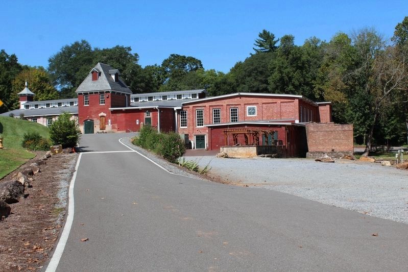
Lincolnton in Lincoln County, North Carolina — The American South (South Atlantic)
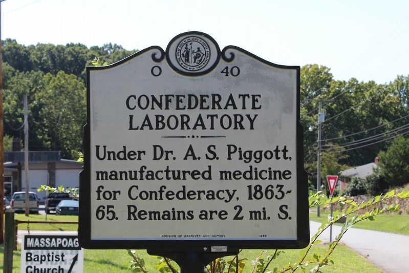
Confederate Laboratory
Erected 1989 by North Carolina Division of Archives and History. (Marker Number O-40.)
Topics and series. This historical marker is listed in these topic lists: Industry & Commerce • Science & Medicine • War, US Civil. In addition, it is included in the North Carolina Division of Archives and History series list.
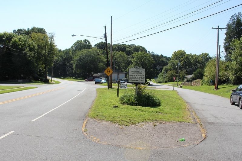
Location. 35° 27.702′ N, 81° 15.23′ W. Marker is in Lincolnton, North Carolina, in Lincoln County. Marker is at the intersection of Laboratory Road (County Highway 1238) and Massapoag Road & South Aspen Street, on the right when traveling east on Laboratory Road. Touch for map. Marker is in this post office area: Lincolnton NC 28092, United States of America. Touch for directions.
Other nearby markers. At least 8 other markers are within walking distance of this marker. Cemetery (approx. half a mile away); J.G. Arends (approx. 0.6 miles away); "Old White Church" Cemetery / " Old White Church " (approx. 0.6 miles away); Emmanuel Lutheran Church (approx. 0.6 miles away); Frank Beal House (approx. 0.6 miles away); Hiram R. Revels (approx. 0.7 miles away); André Michaux (approx. 0.7 miles away); North State Hotel (approx. 0.7 miles away). Touch for a list and map of all markers in Lincolnton.
Also see . . . The Laboratory Mill's Rich History. (Submitted on September 23, 2020, by Tom Bosse of Jefferson City, Tennessee.)
Credits. This page was last revised on June 30, 2021. It was originally submitted on September 23, 2020, by Tom Bosse of Jefferson City, Tennessee. This page has been viewed 272 times since then and 20 times this year. Photos: 1, 2, 3, 4, 5. submitted on September 23, 2020, by Tom Bosse of Jefferson City, Tennessee. • Bernard Fisher was the editor who published this page.
