Near Quinton in New Kent County, Virginia — The American South (Mid-Atlantic)
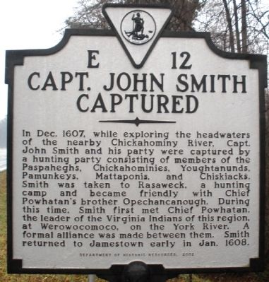
Capt. John Smith Captured
Erected 2002 by Department of Historic Resources. (Marker Number E-12.)
Topics and series. This historical marker is listed in these topic lists: Colonial Era • Exploration • Native Americans • Waterways & Vessels. In addition, it is included in the Virginia Department of Historic Resources (DHR) series list. A significant historical month for this entry is January 1608.
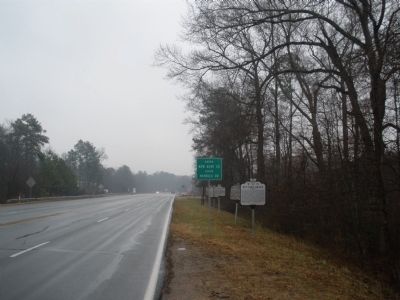
Location. 37° 30.864′ N, 77° 12.405′ W. Marker is near Quinton, Virginia, in New Kent County. Marker is on East Williamsburg Road (U.S. 60) 0.1 miles east of White Oak Road, on the right when traveling east. Touch for map. Marker is in this post office area: Quinton VA 23141, United States of America. Touch for directions.
Other nearby markers. At least 8 other markers are within 2 miles of this marker, measured as the crow flies. Henrico County / New Kent County (here, next to this marker); New Kent County (a few steps from this marker); New Kent Road (a few steps from this marker); Bottom's Bridge (within shouting distance of this marker); Orapax (about 700 feet away, measured in a direct line); Elko Community Center (approx. 1˝ miles away); Meadows Fire Tower (approx. 1.9 miles away); Antioch School Site (approx. 1.9 miles away). Touch for a list and map of all markers in Quinton.
Credits. This page was last revised on December 26, 2019. It was originally submitted on January 27, 2009, by Bernard Fisher of Richmond, Virginia. This page has been viewed 1,502 times since then and 83 times this year. Photos: 1, 2. submitted on January 27, 2009, by Bernard Fisher of Richmond, Virginia. • Craig Swain was the editor who published this page.

