
Quincy in Adams County, Illinois — The American Midwest (Great Lakes)
Madison Park
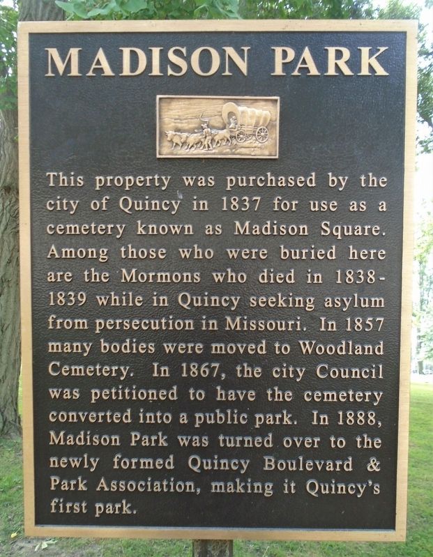
Photographed by William Fischer, Jr., September 16, 2020
1. Madison Park Marker
Topics. This historical marker is listed in these topic lists: Cemeteries & Burial Sites • Parks & Recreational Areas. A significant historical year for this entry is 1837.
Location. 39° 55.899′ N, 91° 22.579′ W. Marker is in Quincy, Illinois, in Adams County. It is on Maine Street east of 24th Street (Illinois Route 96), on the right when traveling east. Touch for map. Marker is in this post office area: Quincy IL 62301, United States of America. Touch for directions.

Regionally, this marker is in Central Illinois. It is also in the American Midwest, in the Corn Belt, and in the Great River Road Region. Globally,
this page online
Other nearby markers. At least 8 other markers are within one mile of this marker, measured as the crow flies: Dr. Thomas Edgar Musselman (within shouting distance of this marker); Charley's Run (about 600 feet away, measured in a direct line); Thomas Scott Baldwin 1858-1923 (approx. half a mile away); Charles Henry Bull House (approx. 0.7 miles away); R. F. Newcomb House (approx. 0.7 miles away); Quincy's Early Environment (approx. ¾ mile away); Quincy National Cemetery (approx. 1.1 miles away); In Honor of Those Who Gave the Ultimate Sacrifice (approx. 1.1 miles away). Touch for a list and map of all markers in Quincy.
Also see . . . Madison Park, Quincy Park District. (Submitted on September 27, 2020, by William Fischer, Jr. of Reynoldsburg, Ohio.)
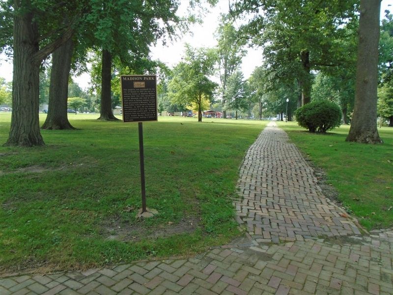
Photographed by William Fischer, Jr., September 16, 2020
2. Madison Park and Marker
Credits. This page was last revised on September 27, 2020. It was originally submitted on September 27, 2020, by William Fischer, Jr. of Reynoldsburg, Ohio. This page has been viewed 807 times since then and 76 times this year. Photos: 1, 2. submitted on September 27, 2020, by William Fischer, Jr. of Reynoldsburg, Ohio.
