Nacogdoches in Nacogdoches County, Texas — The American South (West South Central)
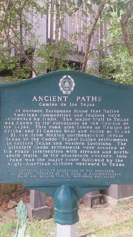
Ancient Paths
Camino de los Tejas
At contact, Europeans found that Native American communities and regions were connected by trails. The major trail in Texas was known to its' colonizers as the Camino de los Tejas. This road, also known as Camino de Arriba and El Camino Real and today as Texas 21, ran from Mexico northeast and across Texas to the Caddo (Tejas) Indian settlements in eastern Texas and Western Louisiana. The principle Caddo settlements were located at the roads intersection with streams and north south trails. In the nineteenth century, this road was the major route followed by the Anglo-American settlers westward to Texas.
National Society Daughters of the American Colonists. Project of the 2000 - 3 Administration Mary Ann Groome Helper, National President
Erected 2000 by National Society Daughters of the American Colonists.
Topics and series. This historical marker is listed in these topic lists: Exploration • Hispanic Americans • Native Americans • Settlements & Settlers. In addition, it is included in the Daughters of the American Colonists series list. A significant historical year for this entry is 2000.
Location. 31° 37.156′ N, 94° 38.922′ W. Marker is in Nacogdoches, Texas, in Nacogdoches County. Marker is at the intersection of Alumni Drive and Griffith Boulevard, on the right when traveling north on Alumni Drive. The marker is located on the campus of Stephen F. Austin University. Touch for map. Marker is at or near this postal address: 1808 Alumni Drive, Nacogdoches TX 75961, United States of America. Touch for directions.
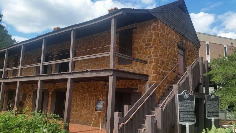
Other nearby markers. At least 8 other markers are within walking distance of this marker. Stone Fort Museum (here, next to this marker); Old Stone Fort (a few steps from this marker); Stephen F. Austin State Teachers College During World War II (about 600 feet away, measured in a direct line); Thomas Jefferson Rusk (about 700 feet away); Rusk Building (about 700 feet away); The University Tradition in Nacogdoches (approx. 0.2 miles away); Pioneering Higher Education in East Texas (approx. 0.2 miles away); Alton W. Birdwell (approx. 0.2 miles away). Touch for a list and map of all markers in Nacogdoches.
Also see . . . Origins of the Camino Real in Texas. Texas Almanac (Submitted on September 28, 2020, by James Hulse of Medina, Texas.)
Credits. This page was last revised on September 28, 2020. It was originally submitted on September 28, 2020, by James Hulse of Medina, Texas. This page has been viewed 193 times since then and 24 times this year. Photos: 1, 2. submitted on September 28, 2020, by James Hulse of Medina, Texas. • J. Makali Bruton was the editor who published this page.

