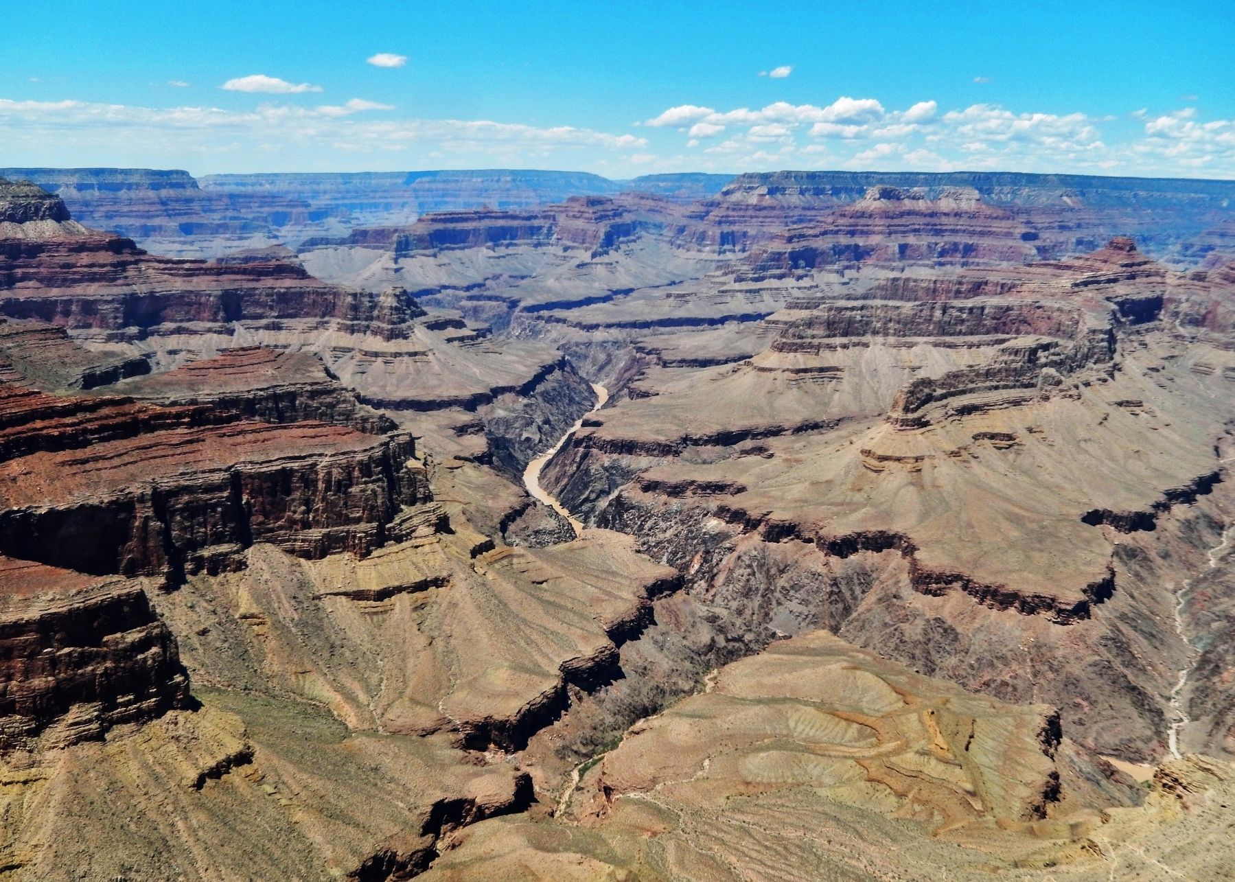
Grand Canyon National Park in Coconino County, Arizona — The American Mountains (Southwest)
A Trail, a Camp, and a "Hermit"
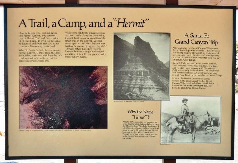
Why did Santa Fe build here at remote Hermit Canyon, 9 miles from the depot? By building their own trail here the railroad avoided tolls on the privately-controlled Bright Angel Trail.
With some sandstone-paved sections and rock walls along the outer edge, Hermit Trail was once considered the finest trail in the Canyon. A local newspaper in 1912 described the new trail as “a marvel of engineering skill.” Though nature has since restored Hermit Trail to a rough and rugged condition, it is still very popular with backcountry hikers.
A Santa Fe Grand Canyon Trip
After arrival at the Grand Canyon Village train depot, Santa Fe patrons travelled 9 miles by open-top touring stage to Hermits Rest, 1 mile west of here. A mule ride to the river and overnight stay in a tent at Hermit Camp completed their two-day adventure. Cost: $18.25.
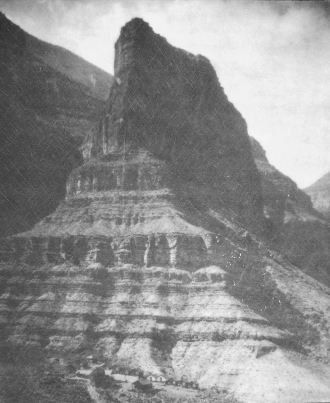
Santa Fe Railroad cared about patron comfort. Tents included stoves, glass windows, real beds, and wooden floors covered with Navajo rugs. Cabins eventually replaced tents. The camp even had telephone service. An aerial tramway from here at Pima Point carried supplies to Hermit Camp.
In 1928, the Federal Government gained control of the Bright Angel Trail at Grand Canyon Village and tolls there ceased. With free use of that more-convenient trail, the Santa Fe abandoned Hermit Camp.
Why the Name "Hermit"?
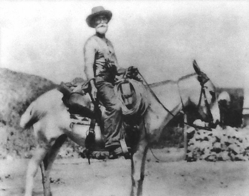
Around 1891, Canadian-born prospector Louis Boucher staked claims below present-day Hermits Rest. With help, Louis carved a trail into the Canyon and for years lived alone at nearby Dripping Springs. He has been described as a kind, gentle soul. Though not a true hermit, Louis Boucher is the "hermit" for whom local features are named.
(photo caption)
Hermit Camp as it appears today. Look over the rim directly behind you to see the camp’s remains.
Topics. This historical marker is listed in these topic lists: Parks & Recreational Areas • Railroads & Streetcars • Roads & Vehicles • Settlements & Settlers. A significant historical year for this entry is 1912.
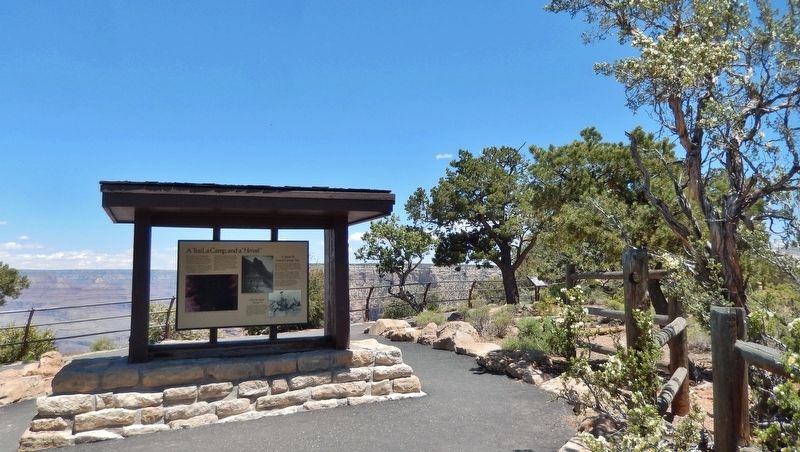
Location. 36° 4.302′ N, 112° 12.003′ W. Marker is in Grand Canyon National Park, Arizona, in Coconino County. Marker can be reached from the intersection of Hermit Road and West Rim Trail. Marker is located in Grand Canyon National Park (South Rim), along the West Rim Trail, at the Pima Point Overlook. Touch for map. Marker is in this post office area: Grand Canyon AZ 86023, United States of America. Touch for directions.
Other nearby markers. At least 8 other markers are
within 3 miles of this marker, measured as the crow flies. The Best Section (here, next to this marker); Hermit Camp (a few steps from this marker); Down Memory Lane (approx. 0.8 miles away); Hermit's Rest (approx. 0.9 miles away); Rest House (approx. 0.9 miles away); Colonel Claude Hale Birdseye (approx. 2½ miles away); Orphan Mine (approx. 2.7 miles away); Early Explorer (approx. 2.7 miles away). Touch for a list and map of all markers in Grand Canyon National Park.
Also see . . .
1. Hermit Camp. Following construction of El Tovar in 1905, the Atchison, Topeka & Santa Fe Railroad was given the task of "developing" concessions for Grand Canyon in 1911. Part of that task was to create an alternative to Ralph Cameron's Bright Angel Toll Trail. The Railroad contracted with the Harvey Co. to improve the Hermit Trail at the western end of the rim road, and to build a luxury camp for well-to-do patrons. (Submitted on October 3, 2020, by Cosmos Mariner of Cape Canaveral, Florida.)
2. Fred Harvey’s Hermit Camp. The Hermit Camp was operated by the Fred Harvey Company, a partner of the railroad. The central dining room was complete with meat, vegetables, fresh fruit, and ice. The building cost of the trail and camp was about $100,000.00. In 1912 the camp was composed of 11 canvas tent cabins and a Dining
Hall. At full capacity the camp could accommodate 30 guests. (Submitted on October 3, 2020, by Cosmos Mariner of Cape Canaveral, Florida.)
3. Louis Boucher: Canadian Guide of the Grand Canyon. The most famous guide in the Grand Canyon was a Canadian named Louis Boucher. He was born in Sherbrooke, Quebec around 1840 but his self-proclaimed restless spirit took him throughout the West. (Submitted on October 3, 2020, by Cosmos Mariner of Cape Canaveral, Florida.)
4. Louis Boucher (Wikipedia). Boucher eventually worked his way to the area now known as Arizona around 1889, and found work as a Grand Canyon guide, where he provided mule rides for canyon visitors. Boucher built a camp for himself and a corral for his mules and sheep. Living in such an isolated area earned Boucher the nickname, "The Hermit." (Submitted on October 3, 2020, by Cosmos Mariner of Cape Canaveral, Florida.)
Additional keywords. A Trail, a Camp, and a "Hermit"
Credits. This page was last revised on October 3, 2020. It was originally submitted on September 29, 2020, by Cosmos Mariner of Cape Canaveral, Florida. This page has been viewed 295 times since then and 32 times this year. Photos: 1, 2, 3, 4, 5. submitted on October 3, 2020, by Cosmos Mariner of Cape Canaveral, Florida.
