
Near Hamilton in Butler County, Ohio — The American Midwest (Great Lakes)
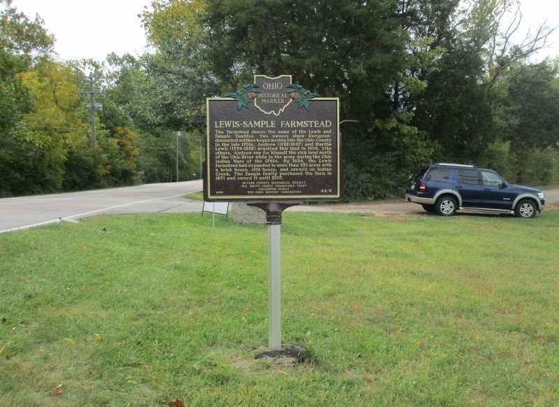
Lewis-Sample Farmstead
⎯⎯⎯
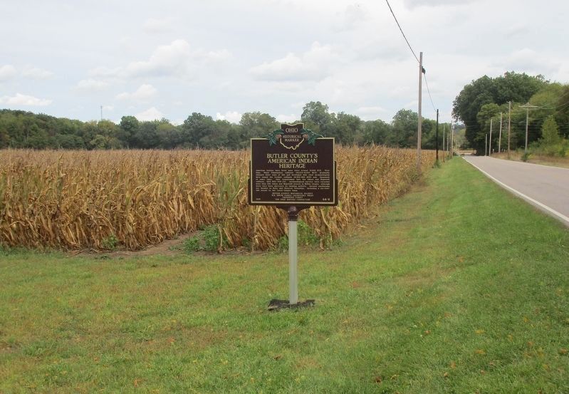
Butler County's American Indian Heritage

Photographed by Rev. Ronald Irick, September 29, 2020
1. Lewis-Sample Farmstead side of the marker
Lewis-Sample Farmstead. The farmstead shares the name of the Lewis and Sample families, two owners since European-descended settlers began moving into the Ohio County in the late 1700s. Andrew (1762-1847) and Martha Lewis (1774-1852) acquired this land in 1804. Like others, Andrew saw for himself the rich land north of the Ohio River while in the army during the Ohio Indian Wars of the 1790s. By 1834, the Lewis farmstead had expanded to more than 350 acres with a brick house, still house, and sawmill on Indian Creek. The Sample family purchased the farm in 1871 and owned it until 2007.
Butler County's American Indian Heritage. American Indians have lived here since around 13,000 BCE. Over time, these Paleoindian cultures (13,000 - 8,000 BCE) gradually changed their ways of life and developed into what archaeologists have named the Archaic cultures (8,000 - 800 BCE) and, thousands of years later, they transformed into the Adena and Hopewell cultures, (800 BCE - 400 CE). Archaeological surveys have recorded more than 250 Adena and Hopewell mounds in Butler County, although many have been destroyed by farming activity.
this page online
Erected 2019 by Butler County Historical Society; W. E. Smith Family Charitable Trust; Creighton Family; The Ohio History Connection. (Marker Number 44-9.)
Topics and series. This historical marker is listed in these topic lists: Agriculture • Anthropology & Archaeology • Indigenous Peoples and Communities • Settlements & Settlers. In addition, it is included in the Ohio Historical Society / The Ohio History Connection series list.
Location. 39° 24.363′ N, 84° 41.931′ W. Marker is near Hamilton, Ohio, in Butler County. It is at the intersection of Reily Millville Road and Cochran Road, on the right when traveling west on Reily Millville Road. Touch for map. Marker is at or near this postal address: 4340 Reily Millville Rd, Hamilton OH 45013, United States of America. Touch for directions.

Regionally, this marker is in Greater Cincinnati and in the Miami Valley. It is also in the American Midwest. Globally, it is in North America, the Western

Photographed by Rev. Ronald Irick, September 29, 2020
2. Butler County's American Indian Heritage side of the marker
Other nearby markers. At least 8 other markers are within 6 miles of this marker, measured as the crow flies: Samuel Dick (approx. half a mile away); Bethel Chapel (approx. half a mile away); Bunker Hill / Dog Town (approx. 1.6 miles away); Bunker Hill Universalist Church / Bunker Hill Cemetery (approx. 2 miles away); Civil War Divisions Hit Home at Bunker Hill Church (1860-1865) (approx. 2 miles away); Stillwell Cemetery Veterans Memorial (approx. 3.6 miles away); Stillwell’s Corners (approx. 3.6 miles away); Founding Members of the Morgan Township Fire Department (approx. 5.2 miles away).
Photographed by Rev. Ronald Irick, September 29, 2020
3. Lewis-Sample Farmstead side of the marker
Photographed by Rev. Ronald Irick, September 29, 2020
4. Butler County's American Indian Heritage side of the marker
Credits. This page was last revised on March 17, 2021. It was originally submitted on September 30, 2020, by Rev. Ronald Irick of West Liberty, Ohio. This page has been viewed 1,283 times since then and 69 times this year. Photos: 1, 2, 3, 4. submitted on September 30, 2020, by Rev. Ronald Irick of West Liberty, Ohio. • Devry Becker Jones was the editor who published this page.
