Williamsburg in James City County, Virginia — The American South (Mid-Atlantic)
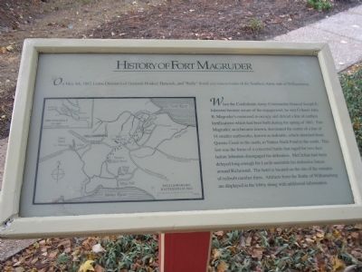
History of Fort Magruder
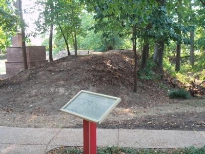
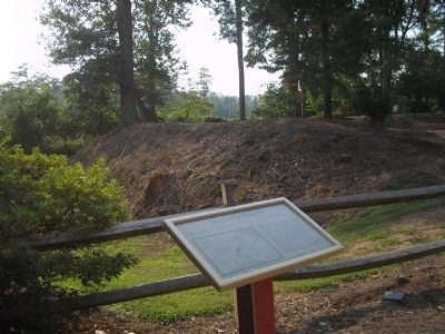
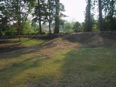
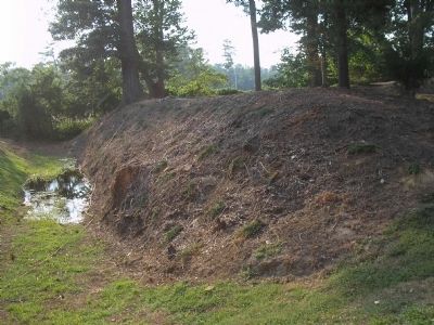
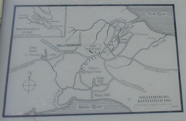
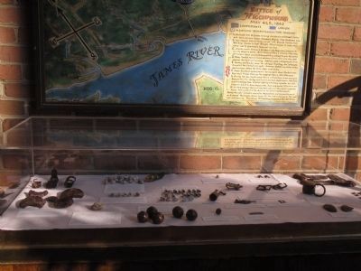
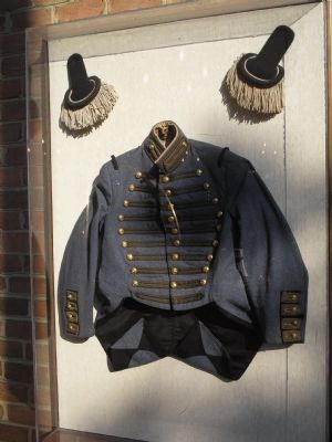
When the Confederate Army Commander General Joseph E. Johnston became aware of the engagement, he sent Colonel John B. Magruder’s command to occupy and defend a line of earthen fortifications which had been built during the spring of 1861. Fort Magruder, as it became known, dominated the center of a line of 14 smaller earthworks, known as redoubts, which stretched from Queens Creek to the north, to Tutters Neck Pond to the south. This fort was the focus of a concerted battle that raged for two days before Johnston disengaged his defenders. McClellan had been delayed long enough for Lee to assemble his defensive forces around Richmond. The hotel is located on the site of the remains of reboubt number three. Artifacts from the Battle of Williamsburg are displayed in the lobby along with additional information.
Topics. This historical marker is listed in these topic lists: Forts and Castles • War, US Civil. A significant historical date for this entry is May 4, 1862.
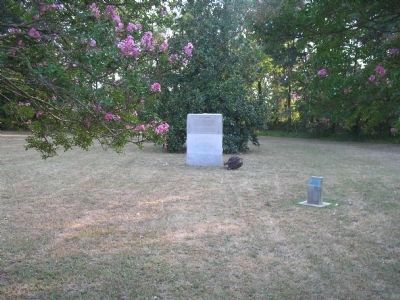
Location. 37° 15.794′ N, 76° 40.802′ W. Marker is in Williamsburg, Virginia, in James City County. Marker can be reached from Pocahontas Trail (U.S. 60) north of Avon Avenue, on the right when traveling east. The marker is on the grounds of the Fort Magruder Hotel and Conference Center. Touch for map. Marker is in this post office area: Williamsburg VA 23185, United States of America. Touch for directions.
Other nearby markers. At least 8 other markers are within walking distance of this marker. The Battle of Williamsburg (about 500 feet away, measured in a direct line); Peninsula Campaign (about 500 feet away); Quarterpath Road (about 600 feet away); Magruder’s Defenses (approx. 0.4 miles away); Redoubt 2 (approx. 0.4 miles away); a different marker also named Battle of Williamsburg (approx. 0.4 miles away); a different marker also named Battle of Williamsburg (approx. 0.4 miles away); Williamsburg in the Civil War (approx. 0.6 miles away). Touch for a list and map of all markers in Williamsburg.
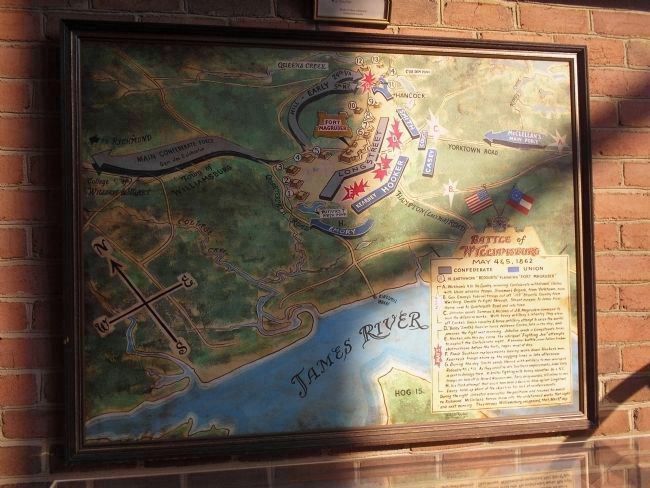
More about this marker. The left of the marker contains a map of the Williamsburg line of fortifications. The location Fort Magruder is indicated.
Also see . . . The Peninsula Campaign of 1862. (Submitted on January 29, 2009, by Bill Coughlin of Woodland Park, New Jersey.)
Photographed By Bill Coughlin, August 10, 2008
10. Battle of Williamsburg Marker in Hotel Lobby
May 4 & 5, 1862
14 earthwork “redoubts” flanking “Fort Magruder”
May 4
A. Wickham’s 4th Va. Cavalry, screening Confederate withdrawal, clashes with Union advance troops, Stoneman’s Brigade, from Yorktown, noon.
B. Gen. Emory’s Federal troops cut off “JEB” Stuart’s Cavalry from Wms’burg. Unable to fight through, Stuart escapes to James River, thence over to Quarterpath Road and into town.
C. Johnston sends Semmes & McLaws of J.B. Magruder’s command to man the defensive works. With heavy artillery & infantry they stave off Cooke’s Union cavalry & horse artillery attempt to seize the works.
May 5
D. ”Baldy” Smith’s heavier force relieves Cooke, late in the day, and presses the fight the next morning. Johnston sends in Longstreet’s forces.
E. Hooker, who this day earns the sobriquet “Fighting Joe” attempts to exploit the Confederate right. A seesaw battle, over fallen timber obstructions before the forts, rages most of the day.
F. Fresh Southern replacements having worn down Hooker’s men, Kearney’s troops shore up the sagging lines in late afternoon.
G. During the day Smith sends Hancock with artillery to man unoccupied Redoubts #11 & #14. As they crossfire into Southern emplacements, Jubal Early is sent to dislodge them. In brutal fighting with heavy casualties Va. & N.C. troops are held off by Maine & Wisconsin men. Early being wounded, Hill retires his men.
H. In a flank attempt that could have been a decisive blow against Longstreet, Emory holds up short of the objective for lack of reinforcements.
During the night, Johnston evacuates the positions and resumes his march to Richmond. McClellan’s forces move into the undefended works that night and the next morning. They occupy Williamsburg, unopposed, that May 6th day.
Credits. This page was last revised on June 16, 2016. It was originally submitted on January 29, 2009, by Bill Coughlin of Woodland Park, New Jersey. This page has been viewed 3,191 times since then and 55 times this year. Photos: 1, 2, 3, 4, 5, 6, 7, 8, 9, 10. submitted on January 29, 2009, by Bill Coughlin of Woodland Park, New Jersey.
