Rolla in Phelps County, Missouri — The American Midwest (Upper Plains)
Lunar Eclipse Predictions

Photographed by William Fischer, Jr., September 18, 2020
1. Lunar Eclipse Predictions Marker
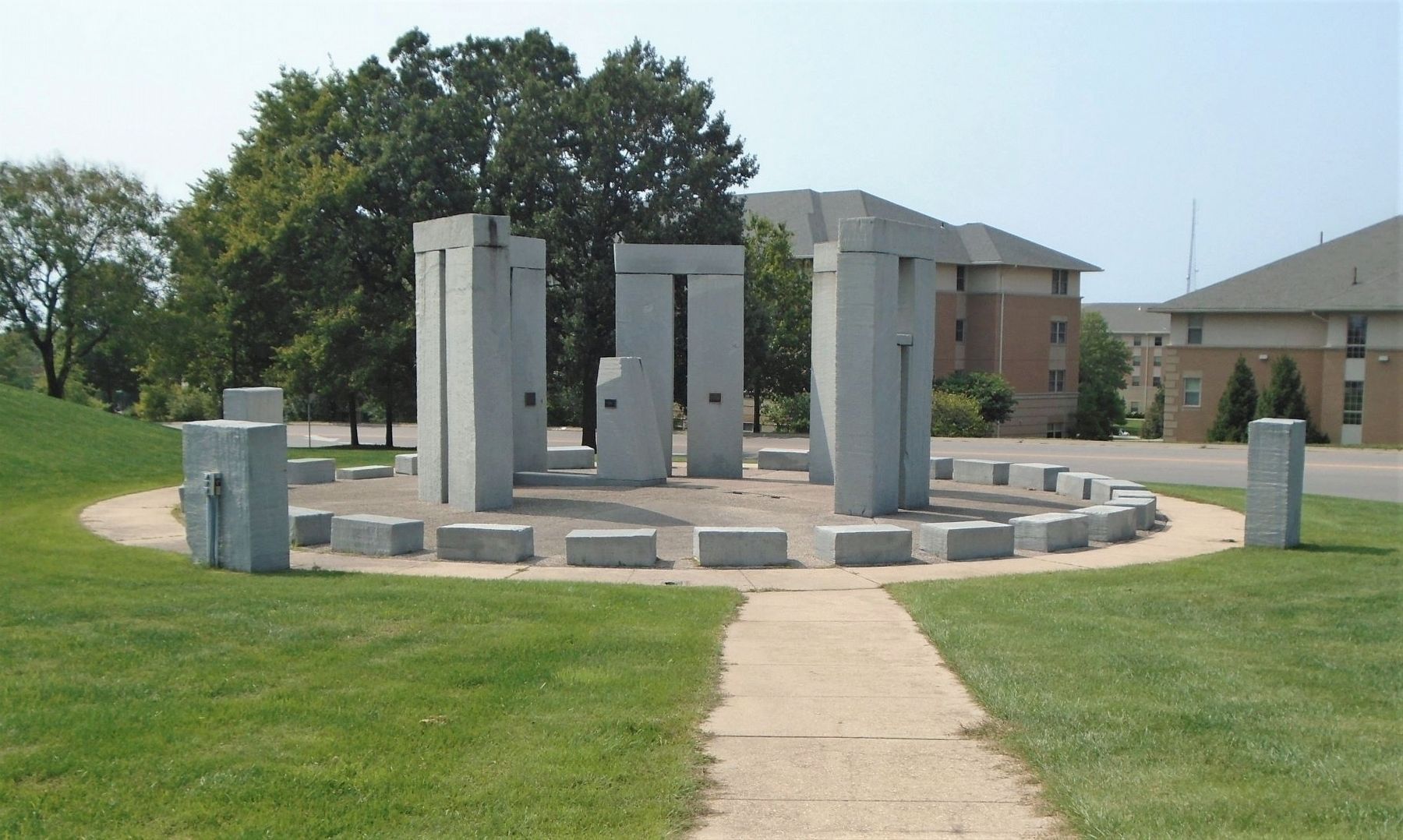
The ancients observed that when the full moon rose nearly diametrically opposite the sun at sunset, a lunar eclipse was very probable later in the evening. England's Stonehenge has a group of 56 post holes, known as Aubrey Holes, arranged in a circle 284 feet in diameter. It is believed that these holes at one time contained wooden posts for sighting moonrise and sunset positions.
Erected by University of Missouri-Rolla (now Missouri Science and Technology University).
Topics. This historical marker is listed in these topic lists: Air & Space • Anthropology & Archaeology • Science & Medicine.
Location. 37° 57.381′ N, 91° 46.586′ W. Marker is in Rolla, Missouri, in Phelps County. It is on Bishop Avenue (U.S. 63) 0.1 miles south of Vichy Road (County Highway 232), on the left when traveling south. Touch for map. Marker is at or near this postal address: 1550 North Bishop Avenue, Rolla MO 65401, United States of America. Touch for directions.

Regionally, this marker is in South-Central Missouri. It is also in the American Ozarks, in the Lewis & Clark Corridor,
this page online
Other nearby markers. At least 8 other markers are within walking distance of this marker: The Polaris Window (a few steps from this marker); The Analemma (a few steps from this marker); Rolla Stonehenge: A Vision Made In Stone (within shouting distance of this marker); UM-Rolla Stonehenge (within shouting distance of this marker); Pine Street and Downtown Rolla (approx. 0.4 miles away); "White" USO (approx. 0.4 miles away); Historic Site (approx. half a mile away); "Black" USO (approx. half a mile away). Touch for a list and map of all markers in Rolla.
Also see . . .
1. Stonehenge. English Heritage website entry (Submitted on October 4, 2020, by William Fischer, Jr. of Reynoldsburg, Ohio.)
2. Stonehenge. National Geographic website entry (Submitted on October 4, 2020, by William Fischer, Jr. of Reynoldsburg, Ohio.)
3. Stonehenge, ‘tis a magic place…’.

Photographed by William Fischer, Jr., September 18, 2020
2. Lunar Eclipse Predictions Marker
Photographed by William Fischer, Jr., September 18, 2020
3. UM-Rolla Stonehenge
Credits. This page was last revised on January 7, 2022. It was originally submitted on October 4, 2020, by William Fischer, Jr. of Reynoldsburg, Ohio. This page has been viewed 226 times since then and 17 times this year. Photos: 1, 2, 3. submitted on October 4, 2020, by William Fischer, Jr. of Reynoldsburg, Ohio.
