Near Kirk in Klamath County, Oregon — The American West (Northwest)
Geologic Apocalypse
Mount Mazama Blows its Top

Photographed By Barry Swackhamer, August 7, 2020
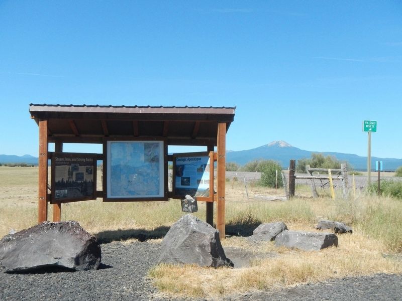
1. Geologic Apocalypse Marker
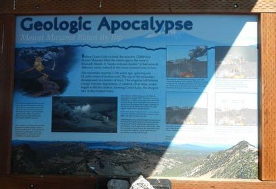
Captions: (On the right are four panels that depict the collapse of Mount Mazama and the creation of Crater Lake.) The eruption of Mount Mazama began when the vent on the northeast side erupted, sending a towering column of ash with pyroclastic flows 30 miles into the air. Winds carried the ash across but of the Pacific Northwest and parts of southeastern Canada. -- Magma erupted, cracks opened up around the summit, and the summit started collapsing. Fountains of pumice and ash surrounded the mountain, and pyroclastic flows raced down its sides. -- The newly formed caldera was 5 miles in diameter and 1 mile deep. Ground water hit the hot deposits of lava, creating explosions of steam and ash. -- In the first few hundred years after the cataclysmic eruption, several smaller eruptions built Wizard Island, Merriam Cone and the central platform of Crater Lake.
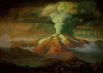
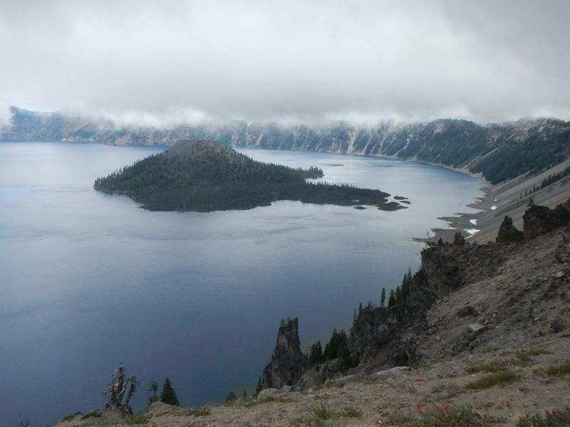
The mountain erupted 7,700 years ago, spewing out 12 cubic miles of molten rock. The top of the mountain disappeared in a matter of days. The eruption left behind a large volcanic depression, or caldera. Over time, water began to fill the caldera, forming Crater Lake, the deepest lake in the United States.
The eruption of Mount Mazama left behind a hung pumice mantel called "Mazama Province." blanketing 5.1 million acres east of the crest of the Cascade Range. Ejected pumice many be found in many places throughout the Refuge, especially in the forested areas. There, the soil has very little organic matter, and is mostly pumice.
Look around you to see and touch some examples of pumice. Because it is so porous, pumice is very light, and will even float in water.
Archaeologist tell us that the Klamath Tribal ancestors lived here during the eruption of Mount Mazama. The Klamath People believed the mountain was inhabited by Llao, the god of the underworld. After the mountain destroyed itself, the Klamath People recounted the events as a great battle between Llao and his rival Skell, the sky god.
The 8,934-foot high mountain you can see on the western horizon is Mount Scott, which was formed of lava from one of the vents of Mount Mazama. The rock that makes up Mount Scott is some of the oldest remnants of Mount Mazama still visible today, and is about 420,000 years old.
Erected by Klamath County Historical Society.
Topics. This historical marker is listed in these topic lists: Disasters • Natural Features • Notable Places.
Location. 42° 53.02′ N, 121° 44.406′ W. Marker is near Kirk, Oregon, in Klamath County. Marker is on Silver Lake Road (County Route 676) near U.S. 97, on the right when traveling east. Touch for map. Touch for directions.
Other nearby markers. At least 2 other markers are within 9 miles of this marker, measured as the crow flies. Steam, Iron, and Strong Backs (here, next to this marker); A Sordid Wild West Story (approx. 8.6 miles away).
More about this marker. This marker is located in the Klamath Marsh National Wildlife Refuge.

Photographed By Paul Rockwood
4. Mount Mazama, artistic rendering
Geology and History Summary for Mount Mazama and Crater Lake
U.S. Geologic Survey website entry
(Submitted on October 7, 2020, by Barry Swackhamer of Brentwood, California.)
Click for more information.
U.S. Geologic Survey website entry
(Submitted on October 7, 2020, by Barry Swackhamer of Brentwood, California.)
Click for more information.
Credits. This page was last revised on May 30, 2021. It was originally submitted on October 7, 2020, by Barry Swackhamer of Brentwood, California. This page has been viewed 133 times since then and 11 times this year. Photos: 1, 2, 3, 4. submitted on October 7, 2020, by Barry Swackhamer of Brentwood, California.

