Alameda in Alameda County, California — The American West (Pacific Coastal)
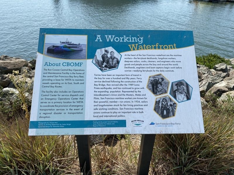
A Working Waterfront
Photographed by Andrew Ruppenstein, September 29, 2020
1. A Working Waterfront Marker
Ferries have been an important form of transit in the bay for over a hundred and fifty years. Ferry service declined following the construction of the Bay Bridge, then revived after the 1989 Loma Prieta earthquake, and has continued to grow with the expanding population. Represented by the Inlandboatmen's Union and the Masters, Mates and Pilots, San Francisco maritime workers are known for their powerful, member-run unions. In 1934, sailors and longshoremen struck for fair hiring practices and safe working conditions. San Francisco maritime unions continue to play an important role in both local and international politics.
(sidebar not transcribed)
Topics. This historical marker is listed in these topic lists: Labor Unions • Waterways & Vessels.
Location. 37° 46.308′ N,
this page online

Regionally, this marker is in the San Francisco Bay Area and on the Coast Ranges. It is also on the American Pacific Coast. Globally, it is in North America, on the Ring of Fire, on the Pacific Rim, in the Western Hemisphere, in the Western World, and in the Anglosphere. Historically, it finds itself in what was once New Spain and also Mexico’s Alta California.
Other nearby markers. At least 8 other markers are within walking distance of this marker: An Era of Dramatic Change (a few steps from this marker); The Jimmy Doolittle Pier – Alameda Naval Air Station (about 700 feet away, measured in a direct line); Alameda: Bay Area Aviation Center (approx. 0.4 miles away); Seaplane Lagoon (approx. 0.4 miles away); Seaplanes and Flying Boats at NAS Alameda (approx. 0.4 miles away); Aircraft Carriers and Seaplane Tenders (approx. 0.4 miles away); Douglas SBD Dauntless (approx.
Photographed by Andrew Ruppenstein, September 29, 2020
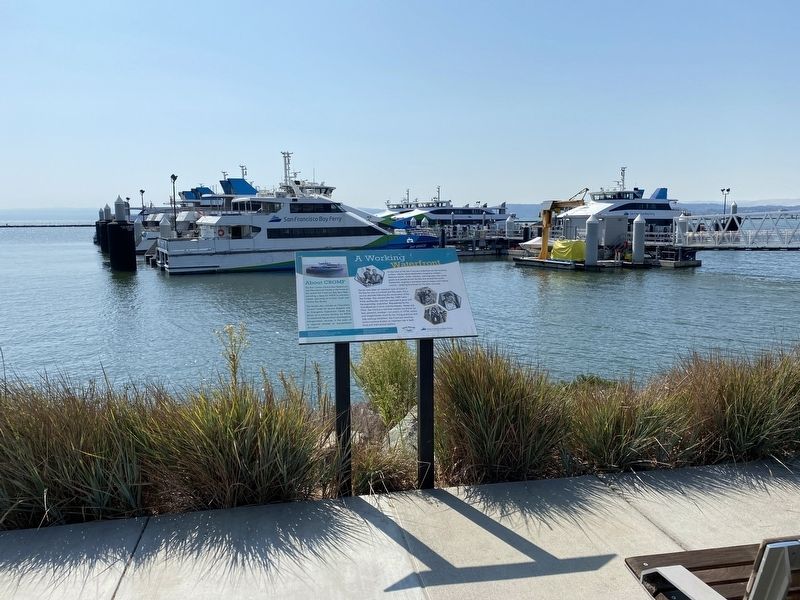
2. A Working Waterfront Marker - wide view, with ferries in the background
More about this marker. The marker is located on the Alameda Point Shoreline trail right by the ferry facility.
Credits. This page was last revised on January 15, 2025. It was originally submitted on October 8, 2020, by Andrew Ruppenstein of Lamorinda, California. This page has been viewed 679 times since then and 52 times this year. Photos: 1, 2. submitted on October 8, 2020, by Andrew Ruppenstein of Lamorinda, California.
