Towanda in McLean County, Illinois — The American Midwest (Great Lakes)
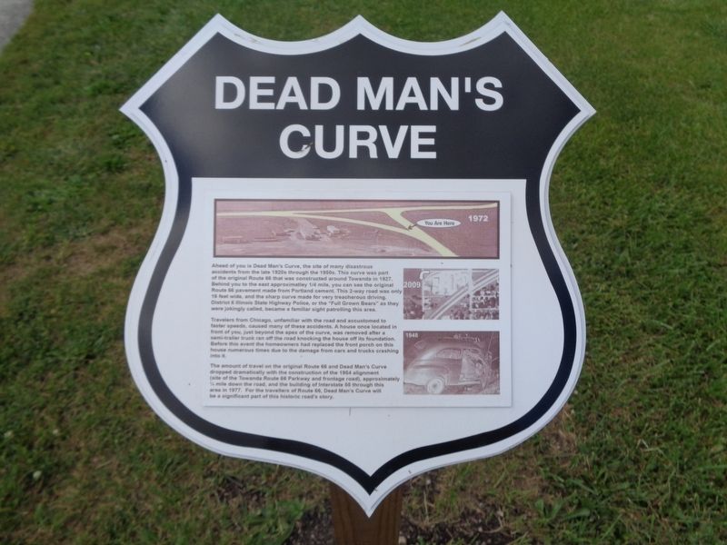
Dead Man's Curve
Travelers from Chicago, unfamiliar with the road and accustomed to faster speeds, caused many of these accidents. A house once located in front of you, just beyond the apex of the curve, was removed after a semi-trailer truck ran off the road knocking the house off its foundation. Before this event the homeowners had replaced the front porch on this house numerous times due to the damage from cars and trucks crashing into it.
The amount of travel on the original Route 66 and Dead Man's Curve dropped dramatically with the construction of the 1954 alignment (site of the Towanda Route 66 Parkway and frontage road), approximately 1/4 mile down the road, and the building of Interstate 55 through this area in 1977. For the travellers of Route 66, Dead Man's Curve will be a significant part of this historic road's story.
Topics and series. This historical marker is listed in these topic lists: Disasters • Roads & Vehicles. In addition, it is included in the U.S. Route 66 series list. A significant historical year for this entry is 1927.
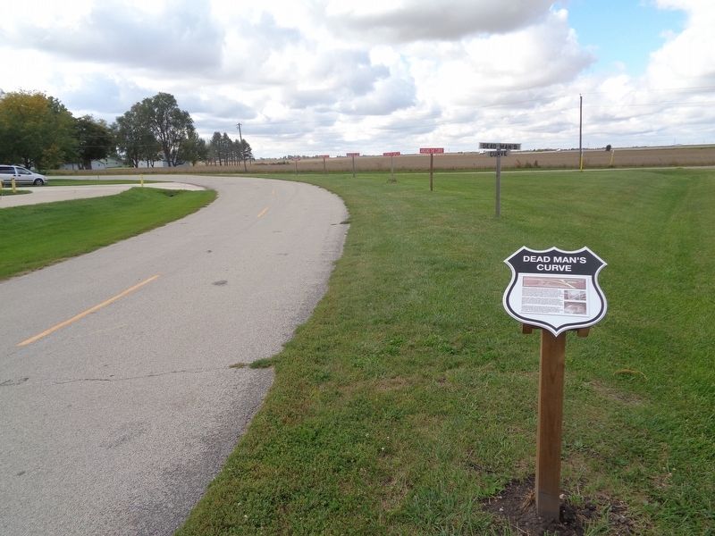
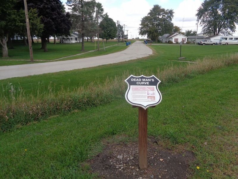
Location. 40° 34.044′ N, 88° 54.106′ W. Marker is in Towanda, Illinois, in McLean County. Marker is at the intersection of Jackson Street and Quincy Street, on the right when traveling west on Jackson Street. Touch for map. Marker is at or near this postal address: 203 Jackson St, Towanda IL 61776, United States of America. Touch for directions.
Other nearby markers. At least 8 other markers are within 6 miles of this marker, measured as the crow flies. 1954 Route 66 Alignment (about 600 feet away, measured in a direct line); Pure Oil Truck Stop (about 600 feet away); 1926 Route 66 Alignment (approx. 0.2 miles away); Henderson's Standard (approx. 0.2 miles away); End of the Journey (approx. 0.7 miles away); Bloomington Airport Former Site (approx. 4.6 miles away); Illinois Soldiers' and Sailors' Children's School (approx. 5.1 miles away); Normal, Illinois (approx. 5.4 miles away). Touch for a list and map of all markers in Towanda.
More about this marker. There is a duplicate marker about 400 feet from this one, with some alternate text.
Also see . . . Why was Route 66 also known as “Bloody 66”?
. From route66news.com, this is an article written by Ron Warnick (published in 2016) about a lot of old Route 66's most dangerous parts in all of the states, including this one. (Submitted on October 9, 2020, by Jason Voigt of Glen Carbon, Illinois.)
Credits. This page was last revised on October 9, 2020. It was originally submitted on October 9, 2020, by Jason Voigt of Glen Carbon, Illinois. This page has been viewed 3,711 times since then and 535 times this year. Photos: 1, 2, 3. submitted on October 9, 2020, by Jason Voigt of Glen Carbon, Illinois.


