Carlisle in Cumberland County, Pennsylvania — The American Northeast (Mid-Atlantic)
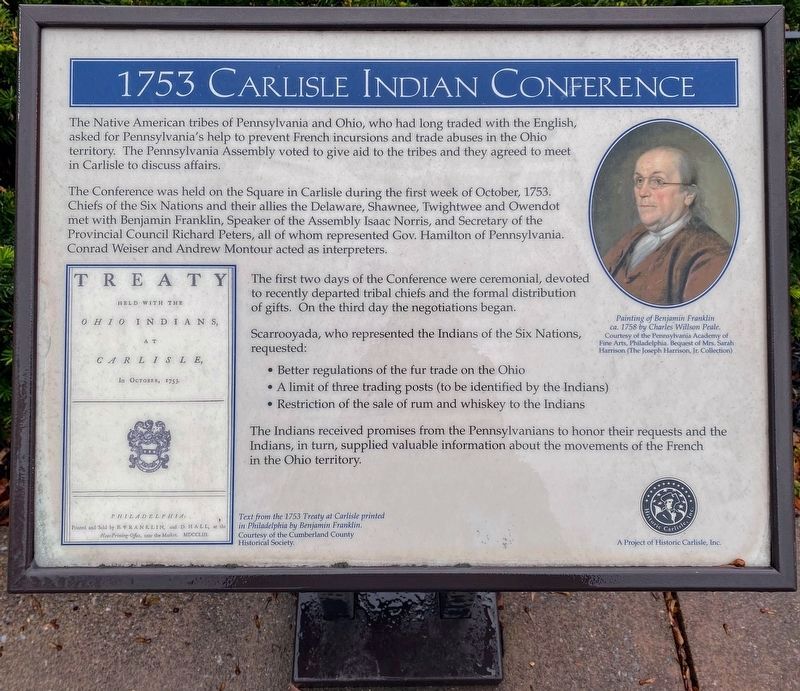
1753 Carlisle Indian Conference
Walking Tour Stop 3
The Native American tribes of Pennsylvania and Ohio, who had long traded with the English, asked for Pennsylvania's help to prevent French incursions and trade abuses in the Ohio territory. The Pennsylvania Assembly voted to give aid to the tribes and they agreed to meet in Carlisle to discuss affairs.
The Conference was held on the Square in Carlisle during the first week of October, 1753. Chiefs of the Six Nations and their allies the Delaware, Shawnee, Twightwee and Owendot met with Benjamin Franklin, Speaker of the Assembly Isaac Norris, and Secretary of the Provincial Council Richard Peters, all of whom represented Gov. Hamilton of Pennsylvania. Conrad Weiser and Andrew Montour acted as interpreters.
The first two days of the Conference were ceremonial, devoted to recently departed tribal chiefs and the formal distribution of gifts. On the third day the negotiations began.
Scarrooyada, who represented the Indians of the Six Nations, requested:
• Better regulations of the fur trade on the Ohio
• A limit of three trading posts (to be identified by the Indians)
• Restriction of the sale of rum and whiskey to the Indians
The Indians received promises from the Pennsylvanians to honor their requests and the Indians, in turn, supplied valuable information about the movements of the French in the Ohio Territory.
Erected by Historic Carlisle, Inc.
Topics. This historical marker is listed in these topic lists: Colonial Era • Industry & Commerce • Native Americans • Settlements & Settlers. A significant historical month for this entry is October 1753.
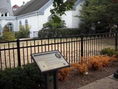
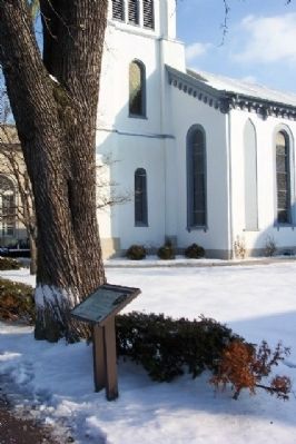
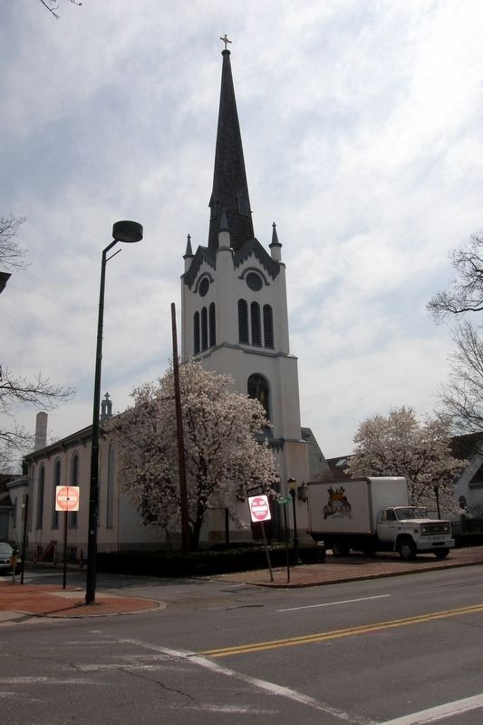
Location. 40° 12.106′ N, 77° 11.333′ W. Marker is in Carlisle, Pennsylvania, in Cumberland County. Marker is on Hanover Street (U.S. 11) just north of High Street, on the right when traveling north. Marker is on Episcopal Square, just north of intersection of Hanover and High Streets. Touch for map. Marker is in this post office area: Carlisle PA 17013, United States of America. Touch for directions.
Other nearby markers. At least 8 other markers are within walking distance of this marker. Episcopal Square (a few steps from this marker); The Return of the Captives (within shouting distance of this marker); First Presbyterian Church (within shouting distance of this marker); a different marker also named First Presbyterian Church (within shouting distance of this marker); Veterans Memorial Courtyard (within shouting distance of this marker); Shelling of Carlisle (within shouting distance of this marker); a different marker also named First Presbyterian Church (within shouting distance of this marker); Blaine House (within shouting distance of this marker). Touch for a list and map of all markers in Carlisle.
Credits. This page was last revised on February 27, 2023. It was originally submitted on February 2, 2009, by William Fischer, Jr. of Scranton, Pennsylvania. This page has been viewed 1,546 times since then and 43 times this year. Photos: 1. submitted on December 19, 2021, by Shane Oliver of Richmond, Virginia. 2. submitted on September 5, 2010, by Bill Coughlin of Woodland Park, New Jersey. 3. submitted on February 2, 2009, by William Fischer, Jr. of Scranton, Pennsylvania. 4. submitted on June 4, 2020, by Larry Gertner of New York, New York. • Kevin W. was the editor who published this page.


