Dayville in Grant County, Oregon — The American West (Northwest)
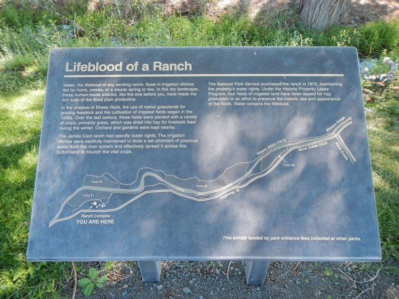
Lifeblood of a Ranch
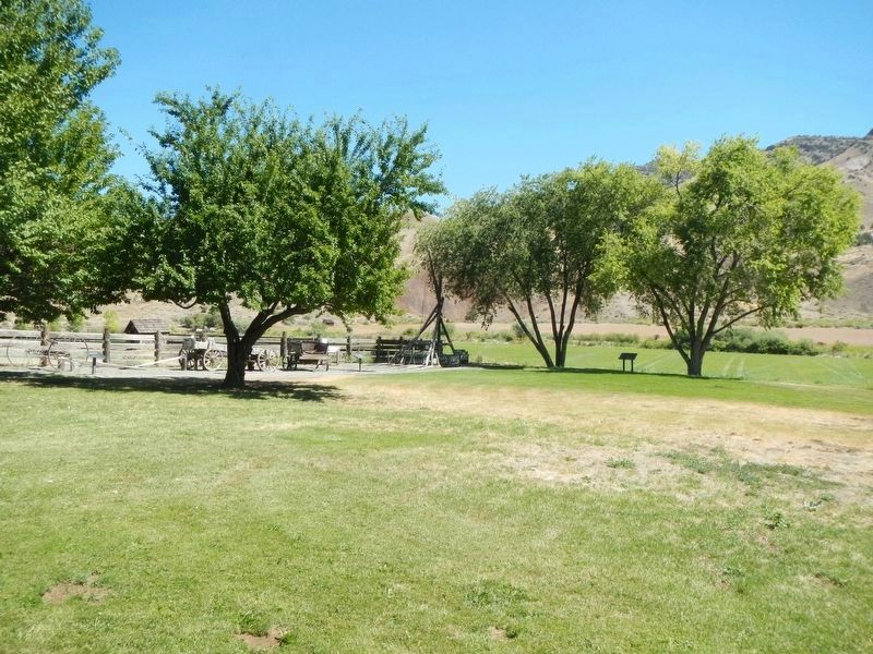
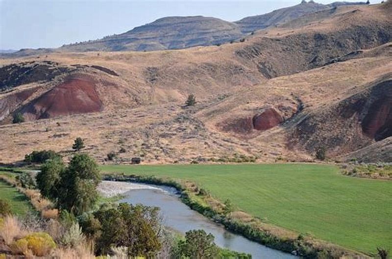
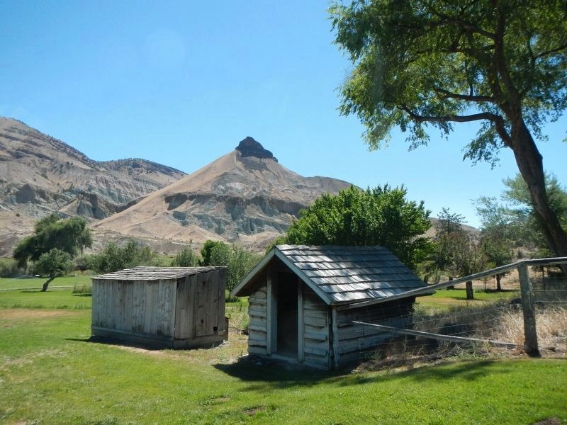
In the shadow of Sheep Rock, the use of native grasslands for grazing livestock and the cultivation of irrigated fields began in the 1890s. Over the last century, these fields were planted with a variety of crops, primarily grass, which was dried into hay for livestock feed during the winter. Orchards and gardens were kept nearby.
The James Cant ranch has specific water rights. The irrigation ditches were carefully maintained to draw a set allotment of precious water from the river system and effectively spread it across this bottomland to nourish the vital crops.
The National Park Service purchased the ranch in 1975, maintaining the property's water rights. Under the Historic Property Lease Program, four fields of irrigated land have been leased for hay production in an effort to preserve the historic use and appearance of the fields. Water remains the lifeblood.
Erected by National Park Service.
Topics. This historical marker is listed in these topic lists: Agriculture • Waterways & Vessels.
Location. 44° 33.321′ N, 119° 38.612′ W. Marker is in Dayville, Oregon, in Grant County. Marker can be reached from State Highway 19 near U.S. 26, on the right when traveling north. The marker is located on the Cant Ranch property. Touch for map. Marker is at or near this postal address: 32651 Oregon Highway 19, Dayville OR 97825, United States of America. Touch for directions.
Other nearby markers. At least 8 other markers are within walking distance of this marker. Haystacker (within shouting distance of this marker); James Cant Ranch Historic District (about 300 feet away, measured in a direct line); Welcome to the John Day River (about 300 feet away); Wool Bag Stand (about 400 feet away); a different marker also named James Cant Ranch Historic District (about 400 feet away); Shearing the Sheep (about 400 feet away); On the Road of History (about 500 feet away); An Oregon Fossil Rush (approx. ¼ mile away). Touch for a list and map of all markers in Dayville.
Credits. This page was last revised on January 25, 2021. It was originally submitted on October 16, 2020, by Barry Swackhamer of Brentwood, California. This page has been viewed 91 times since then and 9 times this year. Photos: 1, 2, 3, 4. submitted on October 16, 2020, by Barry Swackhamer of Brentwood, California.


