Radium Springs in Doña Ana County, New Mexico — The American Mountains (Southwest)
Changing Upland Plants
Cambiando las plantas de tierras altas
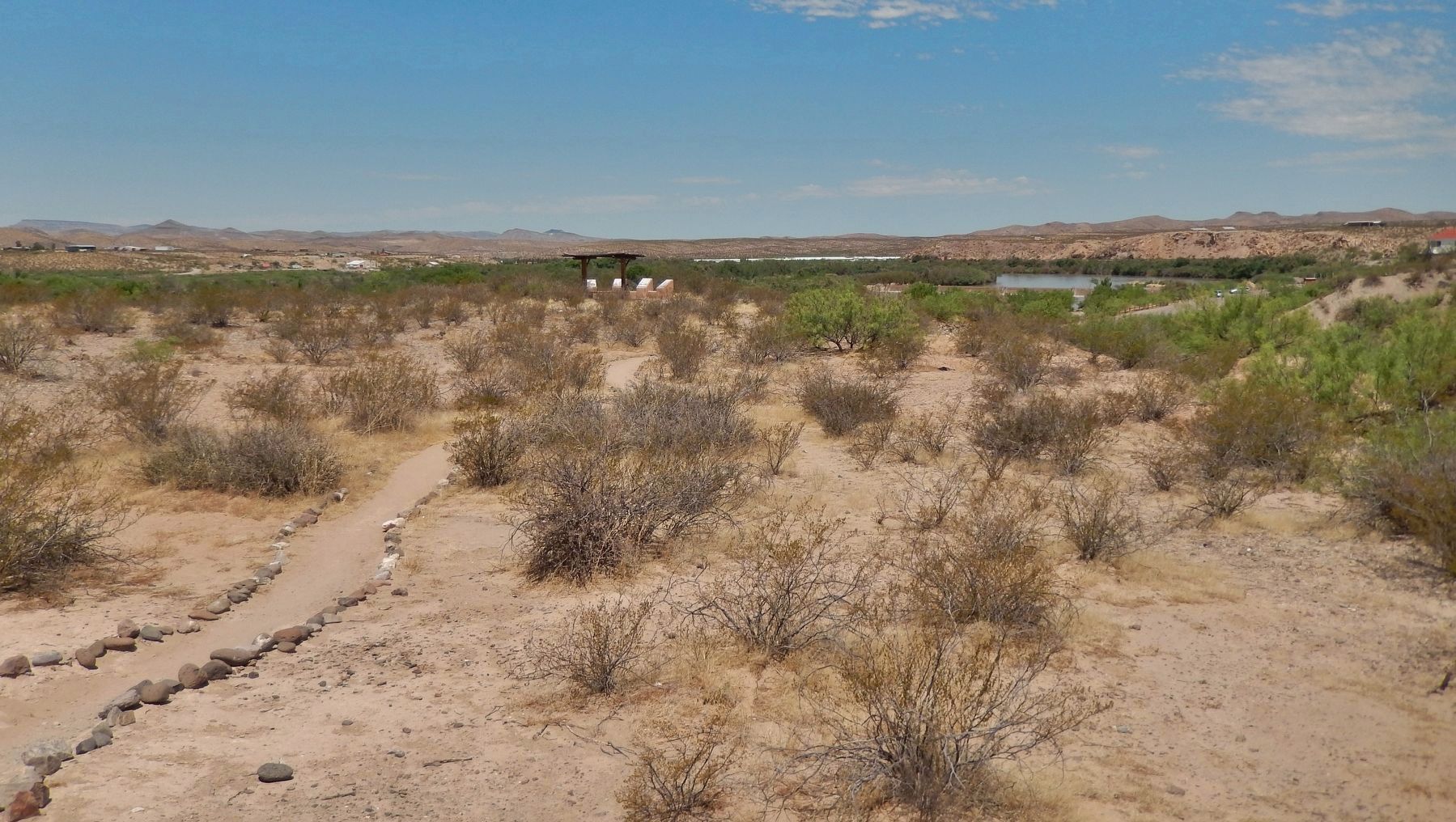
In the past, miles of Chihuahuan desert grassland cloaked the flats above the Rio Grande. Bunch grasses such as alkali sacaton, muhlies, dropseeds and three-awns were widespread. Scattered among the grasses were shrubs like honey mesquite, creosotebush, skunkbush sumac, Mormon tea and four-winged saltbrush.
Centuries of human habitation and intensive livestock grazing changed the vegetation. Grasses were replaced by thorny, smelly plants that grazing animals avoided. The landscape today is dominated by plants that tolerate grazing. You can rub the leaves of creosotebush between your fingers and see how it got its name.
Desert ecosystems heal slowly. Although the park has fenced out cattle for decades, the upland plant community still reflects centuries of grazing.
[background photo caption]
Creosotebush
En el pasado, millas de praderas del desierto de Chihuahua cubrían los planos del Río Grande. Muchos pastos como son zacatón alcalino, muhlenbergias, matojos de burros, y zacates aneadas eran ampliamente extendidos. Entre los pastos esparcidos estaban arbustos como mezquite, hediondilla, zumaque, cañutillo y chamizo.
Siglos de habitación humana e intensivo pastoreo del ganado cambiaron la vegetación. Los pastos fueron reemplazados por plantas espinosas malolientes que los animales evitaron para pastar. El paisaje actual es dominado por plantas que toleran el pastoreo. Se puede tallar las hojas de la hediondilla entre los dedos y ver como obtuvo su nombre.
El ecosistema del desierto se recupera lentamente. El parque ha excluido el ganado con cercas por décadas, pero el grupo de plantas de las tierras altas todavía refleja los siglos de pastoreo.
[pie de foto de fondo]
Hediondilla
Topics. This historical marker is listed in these topic lists: Agriculture • Animals • Environment.
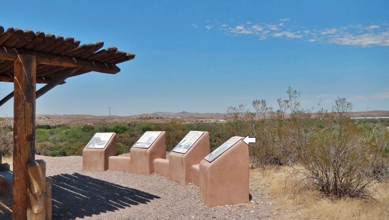
Location. 32° 29.668′ N, 106° 55.256′ W. Marker is in Radium Springs, New Mexico, in Doña Ana County. Marker can be reached from Dona Ana Road, 0.9 miles north of Fort Selden Road, on the right when traveling north. Marker is located along the Upper Mogollon Trail in Leasburg Dam State Park, overlooking the Leasburg Canal and the Rio Grande River. Touch for map. Marker is in this post office area: Radium Springs NM 88054, United States of America. Touch for directions.
Other nearby markers. At least 8 other markers are within 4 miles of this marker, measured as the crow flies. A Diversion Dam for the Valley (here, next to this marker); Rio Grande Bosque
(here, next to this marker); Rio Grande Means Life (approx. 0.2 miles away); History in Your Imagination (approx. 0.2 miles away); Fort Selden Cemetery (approx. 0.4 miles away); Rio Grandé Bridge at Radium Springs (approx. 0.6 miles away); Paraje de Robledo (approx. 0.8 miles away); Paraje San Diego (approx. 3.9 miles away). Touch for a list and map of all markers in Radium Springs.
Credits. This page was last revised on October 18, 2020. It was originally submitted on October 16, 2020, by Cosmos Mariner of Cape Canaveral, Florida. This page has been viewed 76 times since then and 11 times this year. Photos: 1, 2, 3. submitted on October 18, 2020, by Cosmos Mariner of Cape Canaveral, Florida.


