Near Dallesport in Klickitat County, Washington — The American West (Northwest)
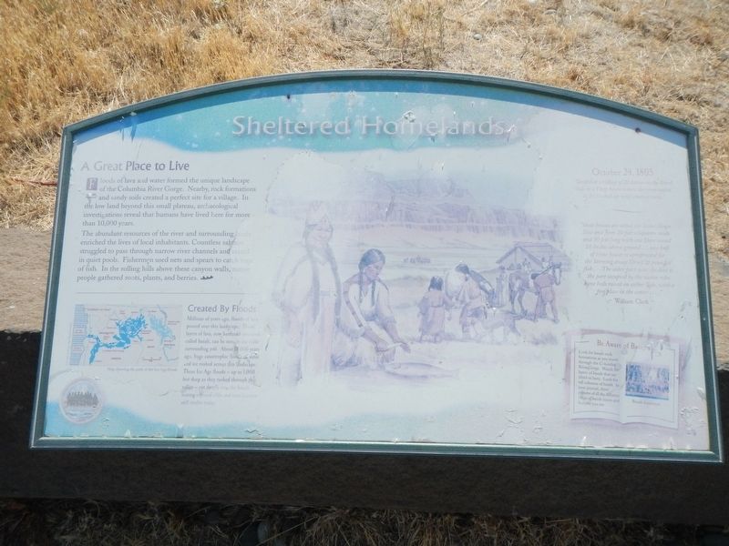
Sheltered Homelands
Inscription.
Floods of lava and water formed the unique landscape of the Columbia River Gorge. Nearby, rock formations and sandy soils created a perfect site for a village. In the low land beyond this small plateau, archaeological investigations reveal that humans have lived here for more than 10,000 years.
The abundant resources of the river and surrounding lands enriched the lives of local inhabitants. Countless salmon struggled to pass through narrow river channels and rested in quiet pools. Fishermen used nets and spears to catch tons of fish. In the rolling hills above these canyon walls, native people gathered roots, plants, and berries.
Created By Floods
Millions of years ago, floods of lava poured over this landscape. Those layers of lava, now hardened into rock called basalt, can be seen in the cliffs surrounding you. About 18,000 years ago, huge catastrophic floods of water and ice rushed across this landscape. These Ice Age floods - up to 1,000 feet deep as they rushed through this valley - cut deep into the basalt, leaving exposed cliffs and rock features still visible today.
October 24, 1805
"landed at a village of 20 houses on the Start Side in a Deep bason where the river apprd to be blocked up this emence rocks."
"those houses are about the Same Shape Size and form 20 feet
Be Aware of Basalt
Look for basalt rock formations as you travel through the Columbia River Gorge. Watch for layers of basalt that are titled or bent. In you journal, draw pictures of all the different kinds of basalt layers and features you see.
Erected by Lewis & Clark Expedition - Washington.
Topics and series. This historical marker is listed in these topic lists: Exploration • Native Americans • Natural Features. In addition, it is included in the Lewis & Clark Expedition series list. A significant historical date for this entry is October 24, 1805.
Location. 45° 38.433′ N, 121° 6.271′ W. Marker is near Dallesport, Washington, in Klickitat County. Marker can be reached from Columbia Hills Historical State Park Road north of Lewis and Clark Highway (Washington Route 14) when traveling south. The marker is in the parking lot at the end of the road. Touch for map. Marker is in this post office area: Dallesport WA 98617, United States of America. Touch for directions.
Other nearby markers. At least 8 other markers are within 4 miles of this marker, measured as the crow flies. "the Great Mart" (here, next to this marker); Through the Short Narrows (here, next to this marker); Long Narrows Challenge (a few steps from this marker); Horsethief Butte (within shouting distance of this marker); Columbia River Indians (approx. ¾ mile away); Preparing to leave the River (approx. 2.6 miles away); The Columbia Then & Now (approx. 3.6 miles away); To Market, to Market (approx. 3.6 miles away). Touch for a list and map of all markers in Dallesport.
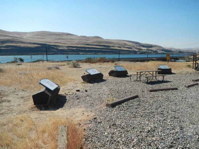
More about this marker. This marker is among a group at the end of the park road, down by the Columbia River.
Credits. This page was last revised on October 20, 2020. It was originally submitted on October 20, 2020, by Barry Swackhamer of Brentwood, California. This page has been viewed 93 times since then and 3 times this year. Photos: 1, 2. submitted on October 20, 2020, by Barry Swackhamer of Brentwood, California.

