Stumps of Stone
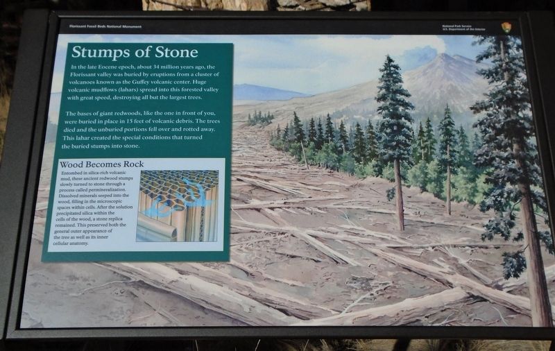
In the late Eocene epoch, about 34 million years ago, the Florissant valley was buried by eruptions from a cluster of volcanoes known as the Guffey volcanic center. Huge volcanic mudflows (lahars) spread into this forested valley with great speed, destroying all but the largest trees.
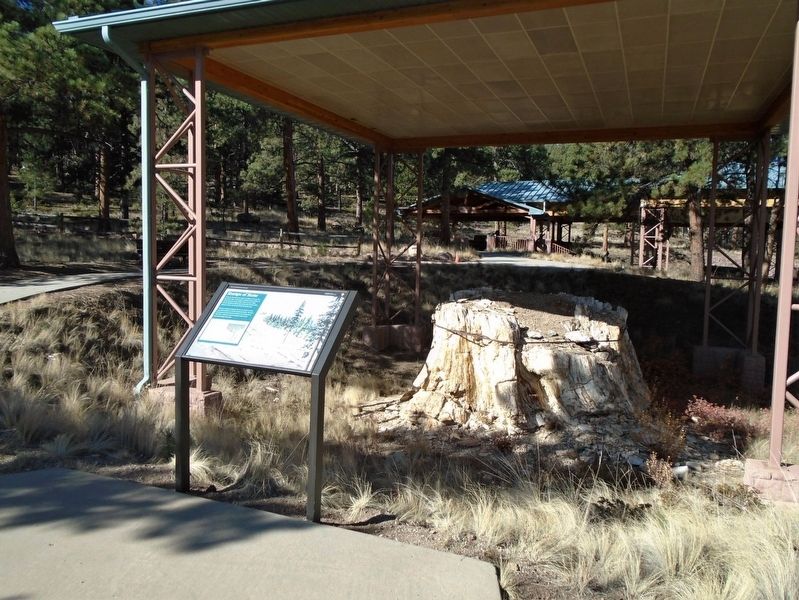
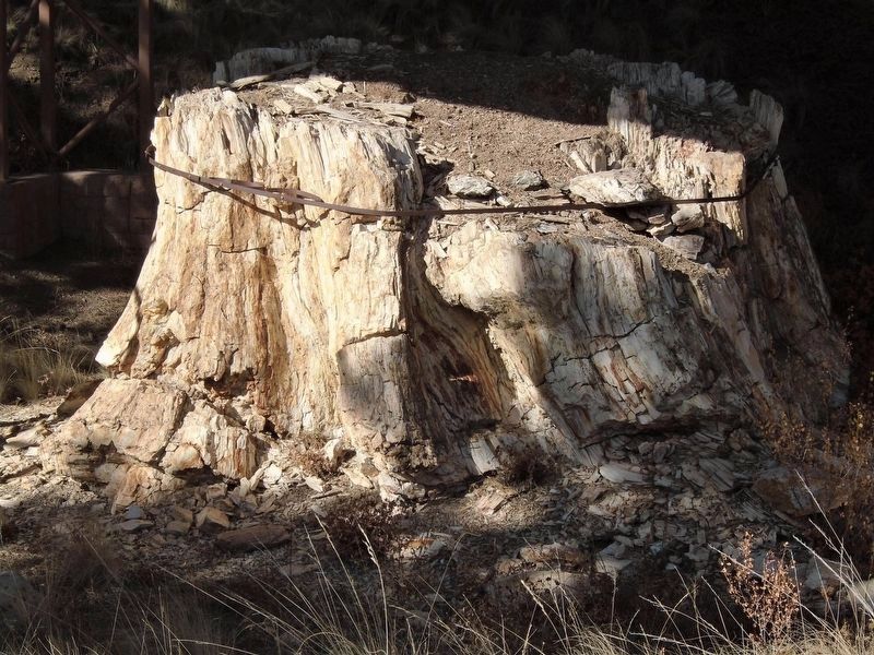
The bases of giant redwoods, like the one in front of you, were buried in place in 15 feet of volcanic debris. The trees died and the unburied portions fell over and rotted away. This lahar created the special conditions that turned the buried stumps into stone.
Wood Becomes Rock
Entombed in silica-rich volcanic mud, these ancient redwood stumps slowly turned to stone through a process called permineralization. Dissolved minerals seeped into the wood, filling in the microscopic spaces within cells. After the solution precipitated silica within the cells of the wood, a stone replica remained. This preserved both the general outer appearance of the tree as well as its inner cellular anatomy.
Erected by National Park Service.
Topics. This historical marker is listed in these topic lists: Environment • Paleontology • Science & Medicine.
Location. 38° 54.811′ N, 105° 17.153′ W. Marker
Other nearby markers. At least 8 other markers are within walking distance of this marker. Ancient Forest Diversity (a few steps from this marker); Making of a Monument (within shouting distance of this marker); Ancient Clones (within shouting distance of this marker); Is the Trio in Trouble? (within shouting distance of this marker); Reading the Rings (within shouting distance of this marker); Dawn of the Recent Past (within shouting distance of this marker); Just One Piece at a Time (within shouting distance of this marker); Layers of Time (within shouting distance of this marker). Touch for a list and map of all markers in Florissant.
Also see . . .
1. Florissant Fossil Beds National Monument. (Submitted on October 21, 2020, by William Fischer, Jr. of Scranton, Pennsylvania.)
2. Fossils: Window to the past - Permineralization. (Submitted on October 21, 2020, by William Fischer, Jr. of Scranton, Pennsylvania.)
Credits. This page was last revised on October 21, 2020. It was originally submitted on October 21, 2020, by William Fischer, Jr. of Scranton, Pennsylvania. This page has been viewed 152 times since then and 11 times this year. Photos: 1, 2, 3. submitted on October 21, 2020, by William Fischer, Jr. of Scranton, Pennsylvania.


