Near Fairfield in Butler County, Ohio — The American Midwest (Great Lakes)
Miami Chapel Cemetery
⎯⎯⎯
Fair Play
Photographed by Rev. Ronald Irick, October 21, 2020
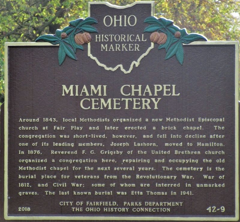
1. Miami Chapel Cemetery side of the marker
Miami Chapel Cemetery. Around 1843, local Methodists organized a new Methodist Episcopal church at Fair Play and later erected a brick chapel. The congregation was short-lived, however, and fell into decline after one of its leading members, Joseph Lashorn, moved to Hamilton. In 1876, Reverend F. G. Grigsby of the United Brethren church organized a congregation here, repairing and occupying the old Methodist chapel for the next several years. The cemetery is the burial place for veterans from the Revolutionary War, War of 1812, and Civil War; some of whom are interred in unmarked graves. The last known burial was Etta Thomas in 1941.
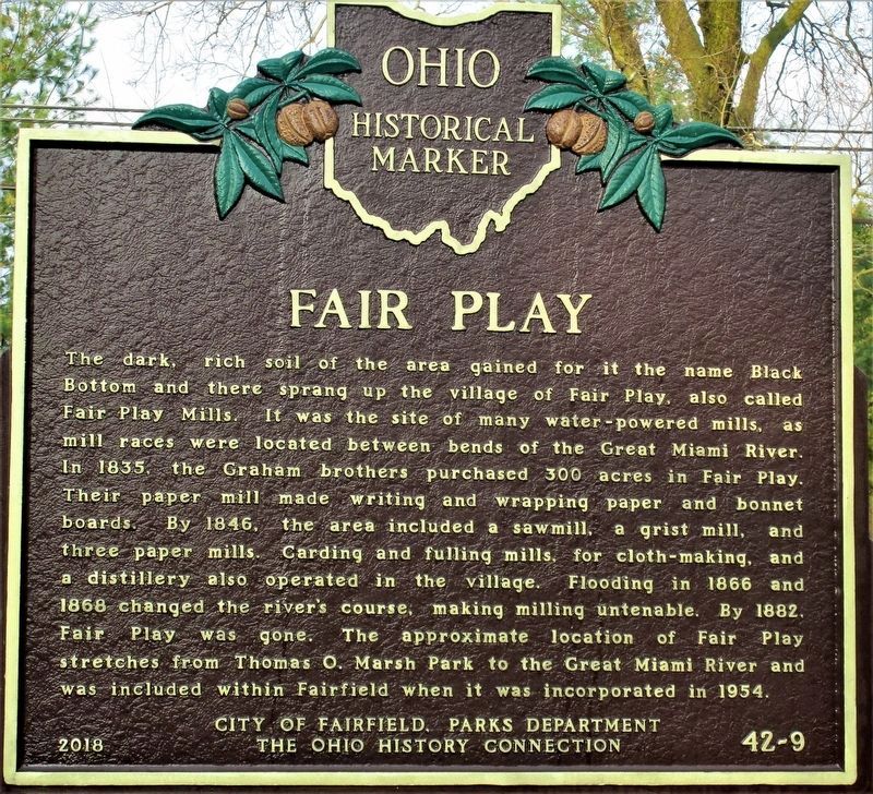
Fair Play. The dark, rich soil of the area gained for it the name Black Bottom and there sprang up the village of Fair Play, also called Fair Play Mills. It was the site of many water-powered mills, as mill races were located between bends of the Great Miami River. In 1835, the Graham brothers purchased 300 acres in Fair Play. Their paper mill made writing and wrapping paper and bonnet boards. By 1846, the area included a sawmill, a grist mill, and three paper mills. Carding and fulling
this page online
Erected 2018 by City of Fairfield, Parks Department and The Ohio History Connection. (Marker Number 42-9.)
Topics and series. This historical marker is listed in these topic lists: Cemeteries & Burial Sites • Religion & Religious Structures • Settlements & Settlers • Waterways & Vessels. In addition, it is included in the Ohio Historical Society / The Ohio History Connection series list. A significant historical year for this entry is 1843.
Location. 39° 20.049′ N, 84° 35.714′ W. Marker is near Fairfield, Ohio, in Butler County. It is at the intersection of River Road and Lakeside Drive, on the right when traveling north on River Road. Touch for map. Marker is at or near this postal address: 5909 River Rd, Fairfield OH 45014, United States of America. Touch for directions.

Regionally,
Photographed by Rev. Ronald Irick, October 21, 2020
2. Fair Play side of the marker
Other nearby markers. At least 8 other markers are within 4 miles of this marker, measured as the crow flies: Fairfield Veterans Memorial Park (approx. 2.1 miles away); America's Wars (approx. 2.1 miles away); POW-MIA Memorial (approx. 2.1 miles away); The 105mm Howitzer (approx. 2.1 miles away); Gold Star Families Memorial (approx. 2.1 miles away); Poppies (approx. 2.1 miles away); Pro Patria (approx. 2.1 miles away); Historic Stones (approx. 3.8 miles away). Touch for a list and map of all markers in Fairfield.
Another marker is no longer nearby. Colerain Turnpike Watering Trough (was approx. 2.9 miles away but has been confirmed missing).
Photographed by Rev. Ronald Irick, October 21, 2020
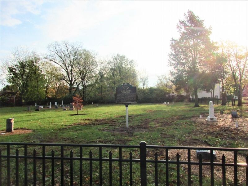
3. Miami Chapel Cemetery Marker
Photographed by Rev. Ronald Irick, October 21, 2020
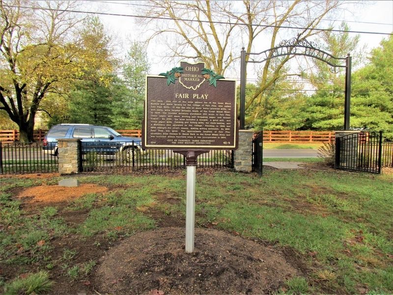
4. Fair Play side of the marker
Photographed by Rev. Ronald Irick, October 21, 2020
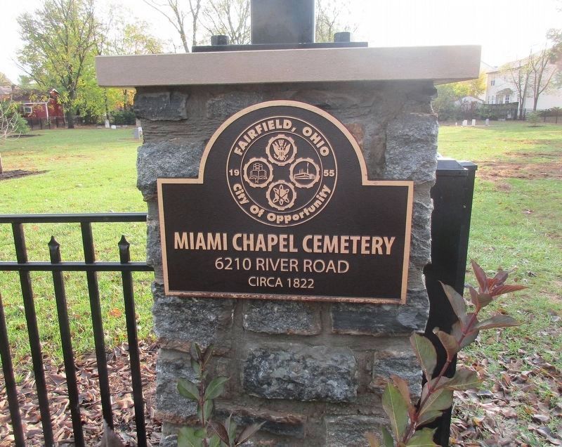
5. Plaque at the entrance of the cemetery

Photographed by Craig Doda, June 7, 2025
6. Miami Chapel Cemetery / Fair Play Marker
Credits. This page was last revised on June 16, 2025. It was originally submitted on October 22, 2020, by Rev. Ronald Irick of West Liberty, Ohio. This page has been viewed 649 times since then and 66 times this year. Photos: 1, 2, 3, 4, 5. submitted on October 22, 2020, by Rev. Ronald Irick of West Liberty, Ohio. 6. submitted on June 11, 2025, by Craig Doda of Napoleon, Ohio. • Devry Becker Jones was the editor who published this page.
