Cascade Locks in Hood River County, Oregon — The American West (Northwest)
Cascade Falls Portage
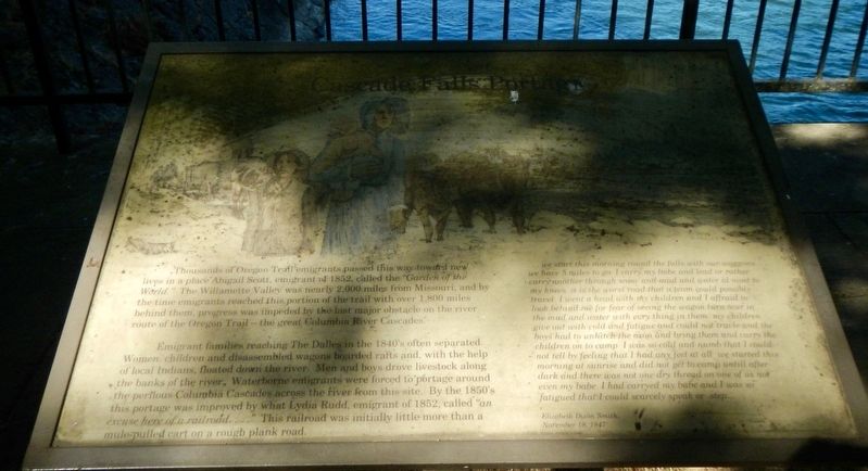
Emigrant families reaching The Dalles in the 1840's often separated. Women, children and disassembled wagons boarded rafts and, with the help of local Indians, floated down the river. Men and boys drove livestock along the banks of the river. Waterborne emigrants were forced to portage around the perilous Columbia Cascades across the river from this site. By the 1850's this portage was improved by what Lydia Rudd, emigrant of 1852, called "an excuse here of a railroad...." This railroad was initially little more than a mule pulled car on a rough plank road.
... we start this morning around the falls with our waggons we have 5 miles to go. I carry by babe and lead or rather carry another through snow and mud and water al most (sic) to my knees it is the worst road that a team could possibly travel. I went a head with my children and I affraid to look behind me for fear of seeing the wagon turn over in the mud and water with every thing in them my children give out with cold and fatigue and could not travel and the boys had to unhitch the oxon and bring them and carry the children on to camp. I was so cold and numb that I could not tell by feeling that I had any feel at all we started this morning at sunrise and did not get to camp untill after dark and there was not one dry thread on one of us not even my babe. I had carryed my babe and I was so fatigued that I could scarcely speak or step. -- Elizabeth Dixon Smith, November 18, 1847
Topics. This historical marker is listed in these topic lists: Railroads & Streetcars • Roads & Vehicles • Settlements & Settlers • Waterways & Vessels. A significant historical date for this entry is November 18, 1847.
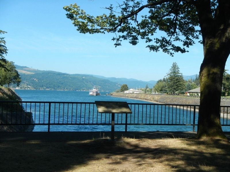
Location. 45° 40.121′ N, 121° 53.793′ W. Marker is in Cascade Locks, Oregon, in Hood River County. Marker can be reached from Southwest Cascade Avenue near Wa Na Pa Street. This marker is located in Cascade Locks Marine Park on Thunder Island. Access to the island is by foot bridge. Touch for map. Marker is at or near this postal address: 417 Southwest Cascade Avenue, Cascade Locks OR 97014, United States of America. Touch for directions.
Other nearby markers. At least 8 other markers are within 2 miles of this marker, measured as the crow flies. the Oregon Pony (about 300 feet away, measured in a direct line); The Bridge of the Gods (approx. half a mile away); a different marker also named The Bridge of the Gods (approx. half a mile away in Washington); Lewis and Clark Trail (approx. 1.2 miles away in Washington); Gatekeepers of the Columbia (approx. 1.2 miles away in Washington); "The Great Shoote" (approx. 1.7 miles away in Washington); Steamboats Docked at Stevenson (approx. 1.7 miles away in Washington); Great Depression Threatens Bank (approx. 1.8 miles away in Washington). Touch for a list and map of all markers in Cascade Locks.
Credits. This page was last revised on October 24, 2020. It was originally submitted on October 24, 2020, by Barry Swackhamer of Brentwood, California. This page has been viewed 108 times since then and 16 times this year. Photos: 1, 2. submitted on October 24, 2020, by Barry Swackhamer of Brentwood, California.

