Riverfront Recreation
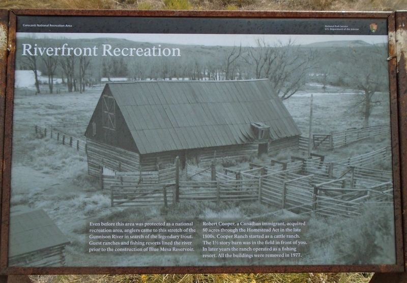
Even before this area was protected as a national recreation area, anglers came to this stretch of the Gunnison River in search of the legendary trout. Guest ranches and fishing resorts lined the river prior to the construction of Blue Mesa Reservoir.
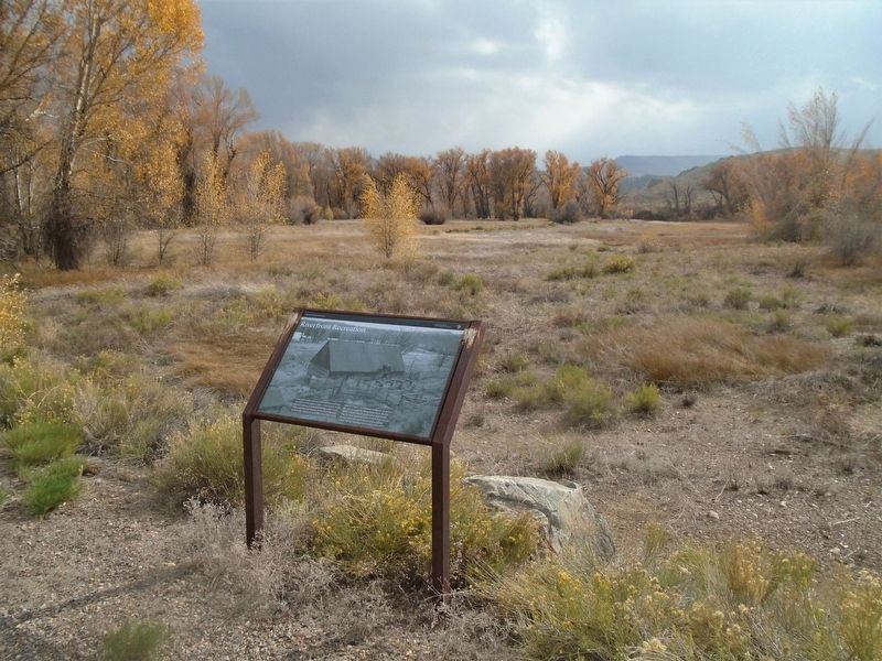
Robert Cooper, a Canadian immigrant, acquired 80 acres through the Homestead Act in the late 1800s. Cooper Ranch started as a cattle ranch. The 1½ story barn was in the field in front of you. In later years the ranch operated as a fishing resort. All the buildings were removed in 1977.
Erected by National Park Service.
Topics. This historical marker is listed in these topic lists: Parks & Recreational Areas • Settlements & Settlers • Waterways & Vessels. A significant historical year for this entry is 1977.
Location. 38° 30.417′ N, 107° 1.54′ W. Marker is near Gunnison, Colorado, in Gunnison County. Marker is on U.S. 50, on the left when traveling west. Marker is along the road leading into the Cooper Ranch Picnic Area of Curecanti National Recreation Area, about five miles west of Gunnison. Touch for map. Marker is in this post office area: Gunnison CO 81230, United States of America. Touch for directions.
Other nearby markers. At least 8 other markers are within 7 miles of this marker, measured as the crow flies. Trains and Trout (approx. 4.9 miles away); Vienna Bakery / Johnson Restaurant Building (approx.
Also see . . .
1. Curecanti National Recreation Area. (Submitted on October 24, 2020, by William Fischer, Jr. of Scranton, Pennsylvania.)
2. Cooper’s Ranch and the Neversink Trail. (Submitted on October 24, 2020, by William Fischer, Jr. of Scranton, Pennsylvania.)
Credits. This page was last revised on October 24, 2020. It was originally submitted on October 24, 2020, by William Fischer, Jr. of Scranton, Pennsylvania. This page has been viewed 141 times since then and 22 times this year. Photos: 1, 2. submitted on October 24, 2020, by William Fischer, Jr. of Scranton, Pennsylvania.

