Gunnison in Gunnison County, Colorado — The American Mountains (Southwest)
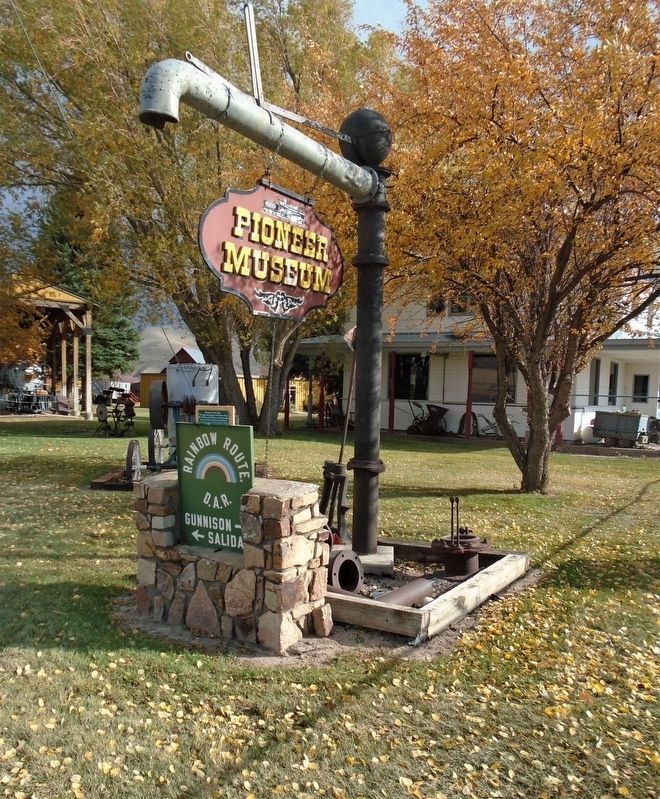
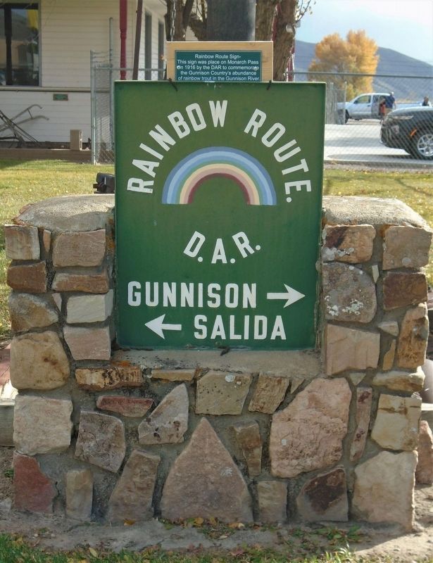
Rainbow Route Sign
in 1916 by the DAR to commemorate
the Gunnison Country's abundance
of rainbow trout in the Gunnison River.
—————————————
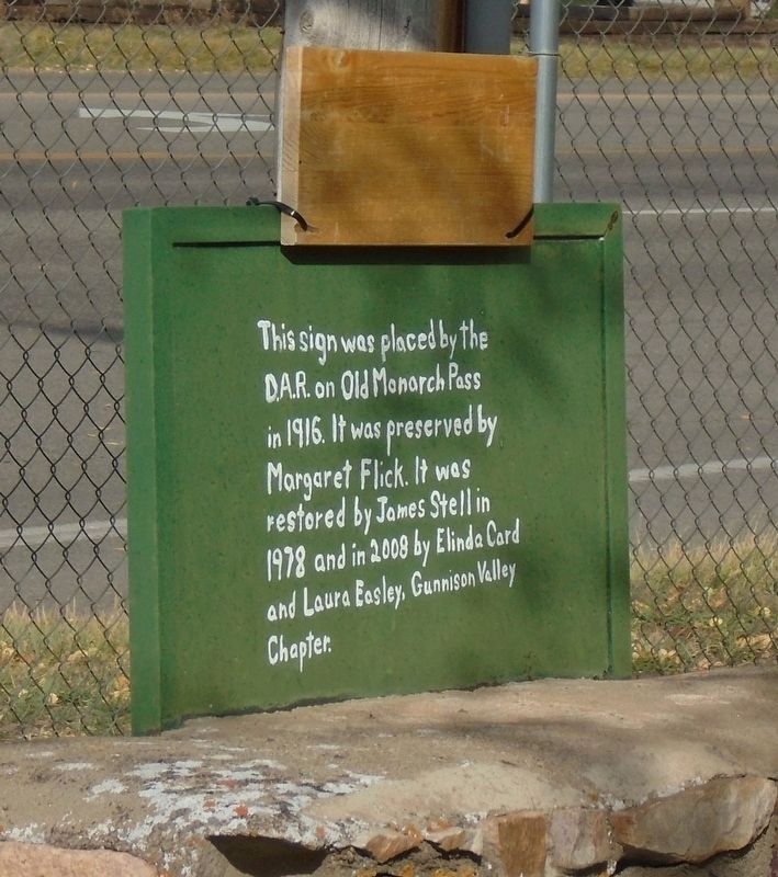
on Old Monarch Pass in 1916. It was
preserved by Margaret Flick. It was
restored by James Stell in 1978
and in 2008 by Elinda Card and
Laura Easley, Gunnison Valley Chapter [D.A.R.]
Erected by Gunnison Pioneer Museum and the Gunnison Valley Chapter, D.A.R.
Topics and series. This historical marker is listed in these topic lists: Charity & Public Work • Parks & Recreational Areas • Roads & Vehicles. In addition, it is included in the Daughters of the American Revolution series list. A significant historical year for this entry is 1916.
Location. 38° 32.653′ N, 106° 55.064′ W. Marker is in Gunnison, Colorado, in Gunnison County. Marker is at the intersection of Tomichi Avenue (U.S. 50) and Adams Street, on the right when traveling east on Tomichi Avenue. Marker is on the grounds of the Gunnison Pioneer Museum. Touch for map. Marker is at or near this postal address: 803 East Tomichi Avenue, Gunnison CO 81230, United States of America. Touch for directions.
Other nearby markers. At least 8 other markers are within walking distance of this marker. Engine #268 (Cinderella) (a few steps from this marker); Mine Ore Cart (a few steps from this marker); Jaw Crusher-Roll Jaw- (a few steps from this marker); Bell Grinder (a few steps from this marker); Water Pump (within shouting distance of this marker); Jaw Crusher (within shouting distance of this marker); Potato Digger (within shouting distance of this marker); Potato Planter (within shouting distance of this marker). Touch for a list and map of all markers in Gunnison.
Also see . . .
1. U.S. Highway 50: A Brief History of America's Backbone. Colorado Central Magazine article by Alvin Edlund, Jr., January 1999 (Submitted on October 24, 2020, by William Fischer, Jr. of Scranton, Pennsylvania.)
2. The Gunnison Pioneer Museum. Museum website homepage (Submitted on October 24, 2020, by William Fischer, Jr. of Scranton, Pennsylvania.)

Photographed By William Fischer, Jr., October 11, 2020
3. "The Rainbow Route"
Montrose Daily Press article by Elaine Hale Jones; November 6, 2000
Click for more information.
Click for more information.
Credits. This page was last revised on May 28, 2021. It was originally submitted on October 24, 2020, by William Fischer, Jr. of Scranton, Pennsylvania. This page has been viewed 133 times since then and 8 times this year. Photos: 1, 2, 3. submitted on October 24, 2020, by William Fischer, Jr. of Scranton, Pennsylvania.

