Corbett in Multnomah County, Oregon — The American West (Northwest)
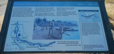
Camping Among the Giants
"Saw a number of Spring runs flowing for the high clifts and Mountains," noted John Ordway. Some of which falls off about 100 feet perpinticular."
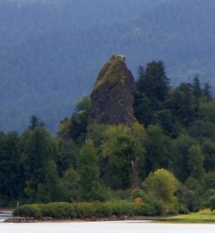
Rooster Rock, a landslide of Crown Point, caught the expedition's attention, as did nearby Phoca Rock (mid-river) and Beacon Rock (on the eastern horizon) which are plugs fro the throes of vanished volcanoes.
Clark estimated Beacon Rock to be 800 feet high, The explorers named Phoca Rock for the harbor seal (Phoca) and gave its size as 100 feet high.
"We came 23 miles, and encamped at a hight peak resembling a tower on the south side." Patrick Gass, November 2, 1805.
(sidebar on right) Ancient Landscape Uncovered The rocky cliffs of Cape Horn (north shore), Crown Point (south shore), and the spires of the Pillars of Hercules (partially destroyed by I-84 and the railroad) are remnants of Miocene lava flows. At the ent of the Wisconsin Ice Age about 12,000 to 15,000 years ago, the 500-foot-high Missoula Floods surged through the gorge. Released from melting glaciers in wester Montana, these floods scoured away topsoil and vegetation - perhaps a hundred times - and created the modern geological landscape of this region.
Rooster Rock State Park opened in 1957. The park includes three miles of sandy beach wetlands fed by Young and Latourelle Creeks, and the basalt spire that gives the park its name.
Erected by Oregon Parks and Recreation Department.
Topics and series. This historical marker is listed in these topic lists: Exploration • Natural Features • Parks & Recreational Areas. In addition, it is included in the Lewis & Clark Expedition series list. A significant historical date for this entry is November 2, 1805.
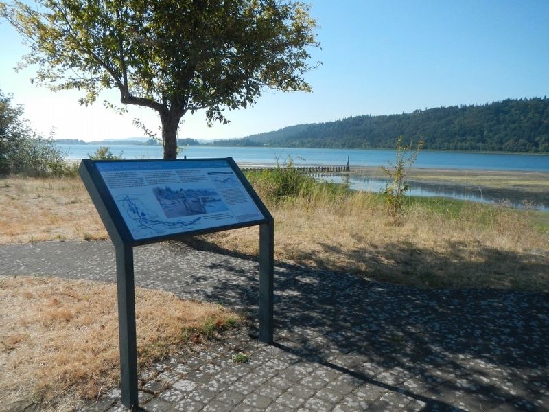
Location. 45° 32.834′ N, 122° 14.171′ W. Marker is in Corbett, Oregon, in Multnomah County. Marker is on Rooster Rock Park near Interstate 84. This marker is in Rooster Rock State Park. Touch for map. Marker is in this post office area: Corbett OR 97019, United States of America. Touch for directions.
Other nearby markers. At least 8 other markers are within 2 miles of this marker, measured as the crow flies. Rooster Rock State Park (here, next to this marker); Lewis and Clark Expedition (within shouting distance of this marker); Samuel C. Lancaster (approx. 0.7 miles away); Marshall N. Dana (approx. 0.7 miles away); Vista House (approx. 0.7 miles away); Chanticleer Point (approx. 1˝ miles away); a different marker also named Chanticleer Point (approx. 1˝ miles away); Samuel Hill – “Road Builder” (approx. 1˝ miles away). Touch for a list and map of all markers in Corbett.
Credits. This page was last revised on October 26, 2020. It was originally submitted on October 25, 2020, by Barry Swackhamer of Brentwood, California. This page has been viewed 144 times since then and 15 times this year. Photos: 1, 2, 3. submitted on October 25, 2020, by Barry Swackhamer of Brentwood, California.


