Near Paducah in McCracken County, Kentucky — The American South (East South Central)
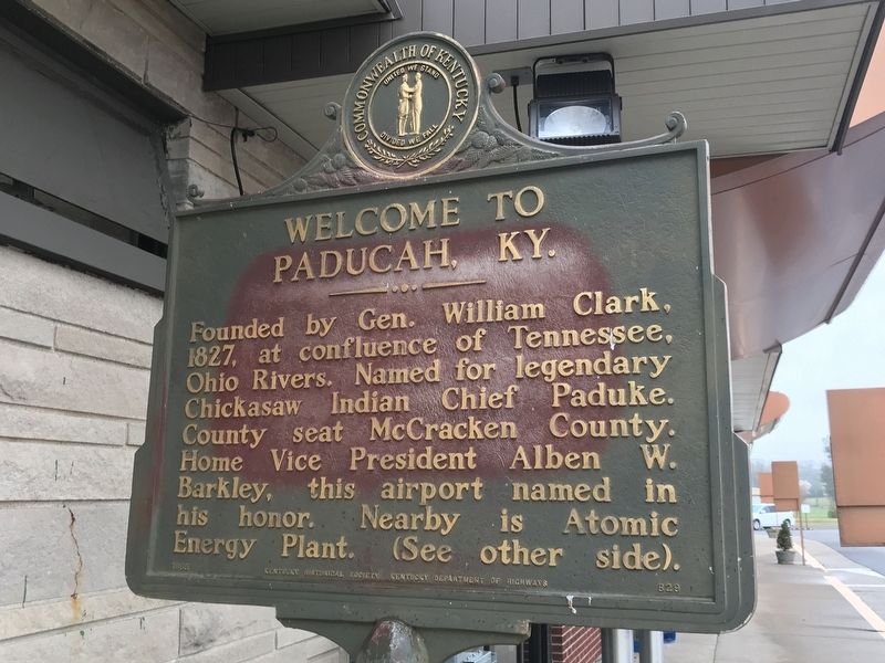
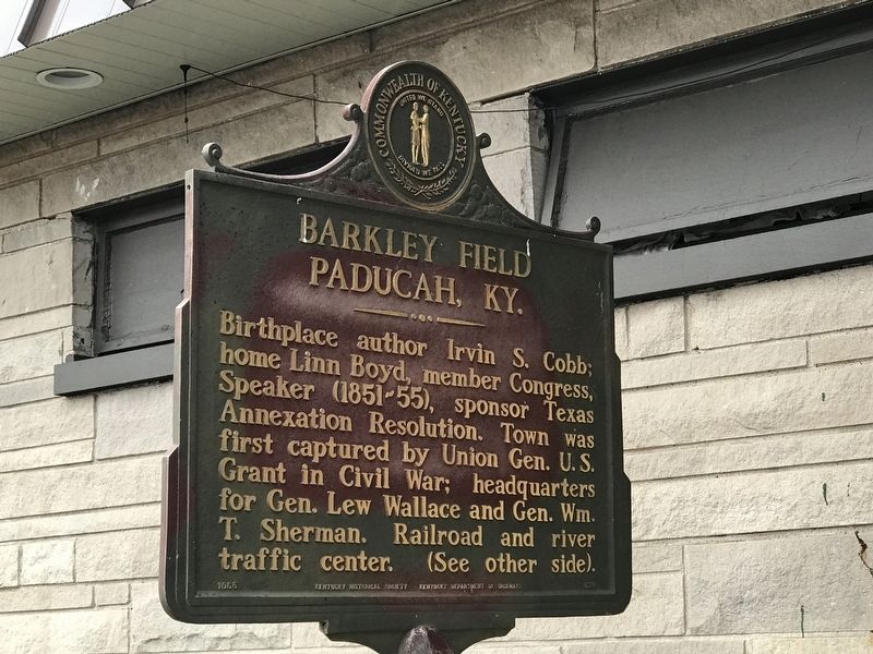
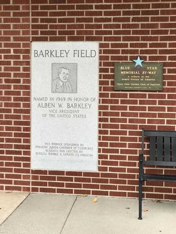
Welcome to Paducah, Ky. / Barkley Field, Paducah, Ky.
Paducah, Ky.
Erected 1965 by Kentucky Historical Society and Kentucky Department of Highways. (Marker Number 829.)
Topics and series. This historical marker is listed in these topic lists: Native Americans • Political Subdivisions • Settlements & Settlers • War, US Civil. In addition, it is included in the Former U.S. Presidents: #18 Ulysses S. Grant, and the Kentucky Historical Society series lists. A significant historical year for this entry is 1827.
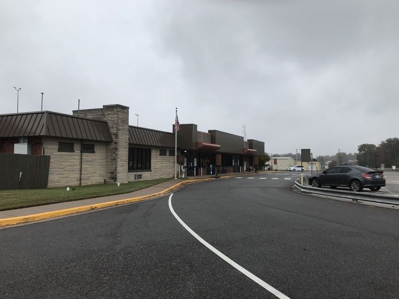
Location. 37° 3.66′ N, 88° 46.051′ W. Marker is near Paducah, Kentucky, in McCracken County. Marker is on Richard Roof Drive , 0.1 miles west of Fisher Road (Kentucky Highway 724), on the right when traveling south. Marker is located outside airport terminal. Touch for map. Marker is at or near this postal address: 2901 Fisher Road, West Paducah KY 42086, United States of America. Touch for directions.
Other nearby markers. At least 8 other markers are within 7 miles of this marker, measured as the crow flies. Wilmington (approx. 2.8 miles away); Spring Bayou Baptist Church (approx. 3.9 miles away); The Lone Oak (approx. 5.7 miles away); Paducah Community College (approx. 5.9 miles away); Unity Church (approx. 6.1 miles away); Hope Light (approx. 6.1 miles away in Illinois); Alben W. Barkley / Barkley's Grave (approx. 6.2 miles away); First Christian Church (approx. 6.3 miles away). Touch for a list and map of all markers in Paducah.
Credits. This page was last revised on October 29, 2020. It was originally submitted on October 28, 2020, by Duane and Tracy Marsteller of Murfreesboro, Tennessee. This page has been viewed 210 times since then and 23 times this year. Photos: 1, 2, 3, 4. submitted on October 28, 2020, by Duane and Tracy Marsteller of Murfreesboro, Tennessee. • Devry Becker Jones was the editor who published this page.


