Dayton in Columbia County, Washington — The American West (Northwest)
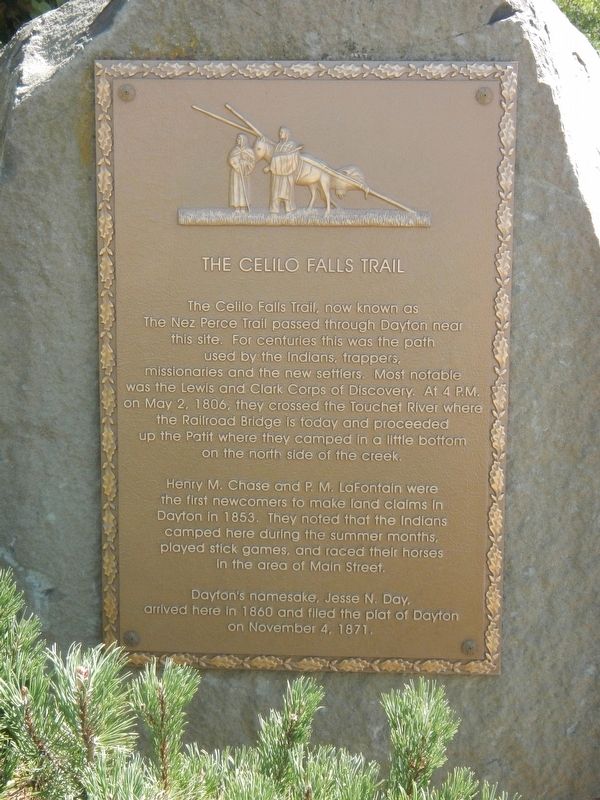
The Celilo Falls Trail
Henry M. Chase and P.M. LaFontain were the first newcomers to make land claims in Dayton in 1853. The noted that the Indians camped here during the summer months, played stick games, and raced their horses in the area of Main Street.
Dayton's namesake, Jesse N. Day, arrived here in 1860 and filed the plat of Dayton on November 4, 1871.
Erected by Dayton Historical Depot Society.
Topics and series. This historical marker is listed in these topic lists: Environment • Native Americans • Roads & Vehicles • Settlements & Settlers. In addition, it is included in the Lewis & Clark Expedition series list. A significant historical date for this entry is May 2, 1806.
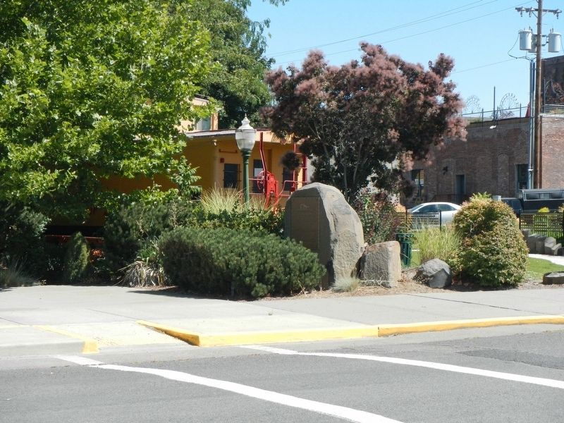
Location. 46° 19.227′ N, 117° 58.861′ W. Marker is in Dayton, Washington, in Columbia County. Marker is at the intersection of North 1st Street and East Commercial Street Avenue, on the right when traveling north on North 1st Street. The marker is located at the northeast corner of Caboose Park. Touch for map. Marker is at or near this postal address: 120 North 1st Street, Dayton WA 99328, United States of America. Touch for directions.
Other nearby markers. At least 8 other markers are within walking distance of this marker. Oldest Existing Depot in the State of Washington (about 300 feet away, measured in a direct line); Railroad Track Park (about 400 feet away); Smith Hollow Schoolhouse (about 600 feet away); Cayuse, Umatilla, and Walla Walla Homeland (about 700 feet away); "a good road" (about 700 feet away); Columbia County Courthouse (about 700 feet away); Dodge Quarantine Cabin (about 700 feet away); City of Dayton (about 700 feet away). Touch for a list and map of all markers in Dayton.
Credits. This page was last revised on October 30, 2020. It was originally submitted on October 30, 2020, by Barry Swackhamer of Brentwood, California. This page has been viewed 144 times since then and 15 times this year. Photos: 1, 2, 3. submitted on October 30, 2020, by Barry Swackhamer of Brentwood, California.


