Near Luray in Page County, Virginia — The American South (Mid-Atlantic)
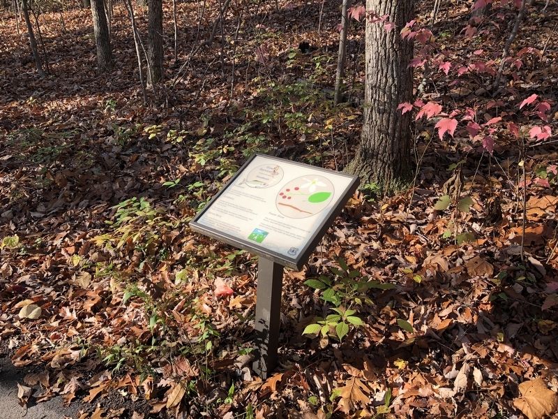
Downy Serviceberry
Amelanchier arborea
| — | Shadbush | — |

Shadbush
In Coastal areas, this tree is called Shadblow or Shadbush because it blooms when the shad migrate upstream to spawn.
Juneberry
Another name for this tree, Juneberry, is fitting because the flowers become reddish purple berries as early as June.
The fruits are rapidly devoured by ruffed grouse, black bear, white-tailed deer, raccoon, opossum and fox.
Sarvis Berry
This name comes from earlier times when winter funeral services had to be delayed until early spring due to the weather. Services were held when the Service or Sarvis Berry bloomed.
Flower Show
This small tree boasts beautiful masses of snowy white flowers, each with five long petals.
These showy flowers bloom in early spring, before the leaves come out. They make the forest come alive!
Erected by Forest Service, U.S. Department of Agriculture.
Topics. This historical marker is listed in these topic lists: Anthropology & Archaeology • Horticulture & Forestry • Religion & Religious Structures.
Location. 38° 38.506′ N, 78° 36.63′ W. Marker is near Luray, Virginia, in
this page online

Regionally, this marker is in Virginia’s Shenandoah Valley. It is also in the American South and specifically in the Upper South. Globally, it is in North America, the Western Hemisphere, the Western World, and the Anglosphere. Historically, it finds itself in what was once the territory of the Mississippian Culture, one of the original Thirteen Colonies, one of the Confederate States of America, and the Antebellum South.
Other nearby markers. At least 8 other markers are within walking distance of this marker: Flowering Dogwood (a few steps from this marker); You Are Invited (within shouting distance of this marker); History Marches Forward (within shouting distance of this marker); Pignut Hickory (within shouting distance of this marker); Massanutten Wildflower Trail (about 300 feet away, measured in a direct line); Jackson’s 2nd Corps Established (about 400
Additional keywords. funeral rites
Credits. This page was last revised on July 8, 2021. It was originally submitted on November 1, 2020, by Devry Becker Jones of Washington, District of Columbia. This page has been viewed 237 times since then and 13 times this year. Photos: 1, 2. submitted on November 1, 2020, by Devry Becker Jones of Washington, District of Columbia.
