Near Luray in Page County, Virginia — The American South (Mid-Atlantic)
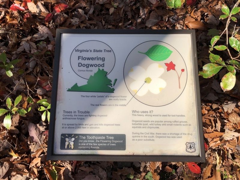
Flowering Dogwood
Cornus florida
— Virginia's State Tree —
Trees in Trouble
Currently these trees are fighting dogwood anthracite fungus.
It is spread by birds and rain and kills dogwood trees at or above 2,000 feet in elevation.
The Toothpaste Tree
Did you know…the Flowering Dogwood is one of the few species of trees containing fluoride.
Who uses it?
This heavy, strong wood is used for tool handles.
Dogwood seeds are popular among ruffed grouse, bobwhite quail, wild turkey and small rodents such as squirrels and chipmunks.
During the Civil War, there was a shortage of the drug quinine in the south. Dogwood tea was used as a poor substitute.
Erected by Forest Service, U.S. Department of Agriculture.
Topics. This historical marker is listed in these topic lists: Horticulture & Forestry • Science & Medicine • War, US Civil.
Location. 38° 38.505′ N, 78° 36.621′ W. Marker is near Luray, Virginia, in Page County. Marker can be reached from Lee Highway (U.S. 211) 0.1 miles east of Crisman Hollow Road, on the right when traveling east. Touch for map. Marker is at or near this postal address: 9531 Lee Highway, Luray VA 22835, United States of America. Touch for directions.
Other nearby markers. At least 8 other markers are within walking distance of this marker. Downy Serviceberry (a few steps from this marker); History Marches Forward (within shouting distance of this marker); You Are Invited (within shouting distance of this marker); Pignut Hickory (within shouting distance of this marker); Massanutten Wildflower Trail (about 300 feet away, measured in a direct line); The Tea Tree (about 400 feet away); Jackson’s 2nd Corps Established (about 400 feet away); Page County / Shenandoah County (about 600 feet away). Touch for a list and map of all markers in Luray.
Additional keywords. Civil War-era medicine
Credits. This page was last revised on July 8, 2021. It was originally submitted on November 1, 2020, by Devry Becker Jones of Washington, District of Columbia. This page has been viewed 131 times since then and 14 times this year. Photos: 1, 2. submitted on November 1, 2020, by Devry Becker Jones of Washington, District of Columbia.

