
Monroe Ward in Richmond, Virginia — The American South (Mid-Atlantic)
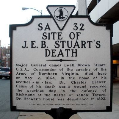
Site of J. E. B. Stuart's Death
Photographed by Bernard Fisher, February 7, 2009
1. Site of J. E. B. Stuart's Death Marker
Erected 1989 by Department of Historic Resources. (Marker Number SA-32.)
Topics and series. This historical marker is listed in this topic list: War, US Civil. In addition, it is included in the Virginia Department of Historic Resources (DHR) series list. A significant historical month for this entry is May 1861.
Location. 37° 32.77′ N, 77° 26.697′ W. Marker is in Richmond, Virginia. It is in the Monroe Ward. It is on West Grace Street 0.1 miles west of North Jefferson Street, on the right when traveling west. Touch for map. Marker is in this post office area: Richmond VA 23220, United States of America. Touch for directions.

Regionally, this marker is in Central Virginia. It is also in the American South and specifically in the Upper South. Globally, it is in North America,
this page online
Other nearby markers. At least 8 other markers are within walking distance of this marker: “I must save the women of Richmond!” (here, next to this marker); Samuel Preston Moore (within shouting distance of this marker); The AS Smith House (about 400 feet away, measured in a direct line); Maggie Lena Walker Memorial (about 700 feet away); Officer Vernon L. Jarrelle (approx. 0.2 miles away); Patrick H. Starke Residence (approx. 0.2 miles away); Mathew F. Pleasant Residence (approx. 0.2 miles away); Mary Wingfield Scott (approx. ¼ mile away). Touch for a list and map of all markers in Richmond.
Photographed by Bernard Fisher, February 7, 2009
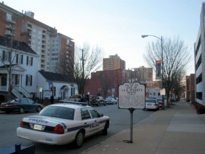
2. Facing west on Grace Street
Photographed by Bernard Fisher, February 7, 2009
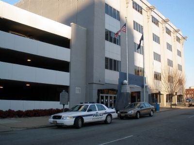
3. Site of Dr. Brewer's House (Police Station)
Photographed by Bernard Fisher, February 7, 2009
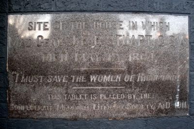
4. Plaque adjacent to police station door
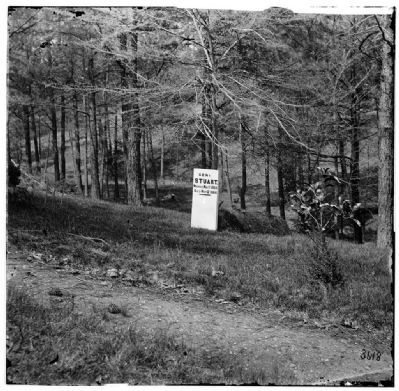
1865
5. Grave of Gen. J. E. B. Stuart in Hollywood Cemetery, with temporary marker.
Library of Congress [LC-B811- 3618]
Credits. This page was last revised on February 1, 2023. It was originally submitted on February 6, 2009, by Bernard Fisher of Richmond, Virginia. This page has been viewed 6,751 times since then and 264 times this year. Photos: 1, 2, 3, 4. submitted on February 6, 2009, by Bernard Fisher of Richmond, Virginia. 5. submitted on November 2, 2009, by Bernard Fisher of Richmond, Virginia. • Craig Swain was the editor who published this page.
