Luray in Page County, Virginia — The American South (Mid-Atlantic)
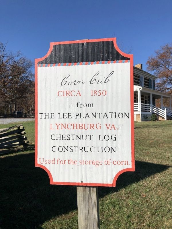
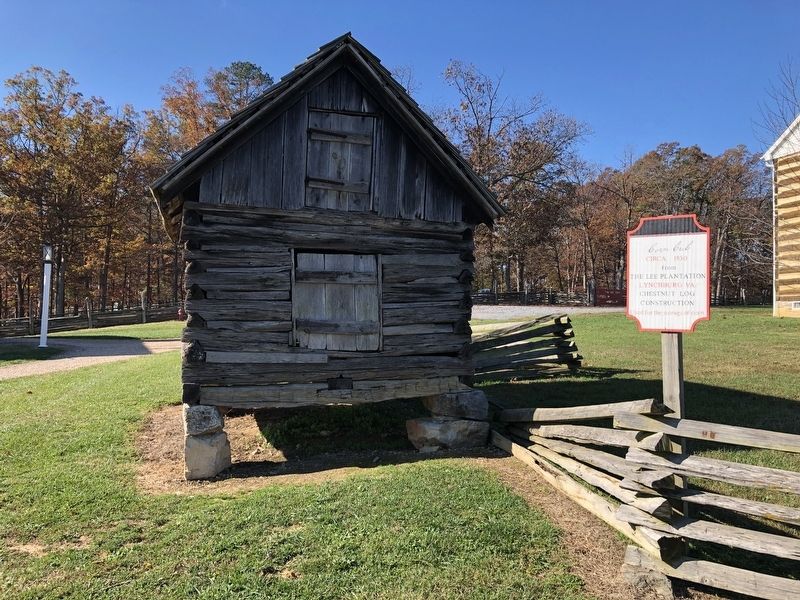
Corn Crib
from
the Lee Plantation
Lynchburg VA.
Chestnut Log
Construction
Used for the storage of corn.
Erected by The Luray Valley Museum.
Topics. This historical marker is listed in these topic lists: Agriculture • Architecture. A significant historical year for this entry is 1850.
Location. 38° 39.983′ N, 78° 29.009′ W. Marker is in Luray, Virginia, in Page County. Marker can be reached from Cave Hill Road, 0.2 miles west of Lee Highway (U.S. 211/340), on the right when traveling west. Touch for map. Marker is at or near this postal address: 102 Cave Hill Rd, Luray VA 22835, United States of America. Touch for directions.
Other nearby markers. At least 8 other markers are within walking distance of this marker. Bell House (here, next to this marker); The Rev. Bernard Willy House (a few steps from this marker); Burner Barn (within shouting distance of this marker); Elk Run Meeting House (within shouting distance of this marker); Heartpine Cafe (within shouting distance of this marker); Hamburg African American Regular School (within shouting distance of this marker); Blacksmith Shop (within shouting distance of this marker); Willow Grove Mill In Olden Days (within shouting distance of this marker). Touch for a list and map of all markers in Luray.
Credits. This page was last revised on November 1, 2020. It was originally submitted on November 1, 2020, by Devry Becker Jones of Washington, District of Columbia. This page has been viewed 179 times since then and 35 times this year. Photos: 1, 2. submitted on November 1, 2020, by Devry Becker Jones of Washington, District of Columbia.

