Near Manassas in Prince William County, Virginia — The American South (Mid-Atlantic)
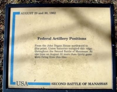
Federal Artillery Positions
— Second Battle of Manassas —
Federal Artillery Positions
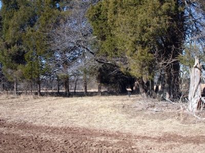
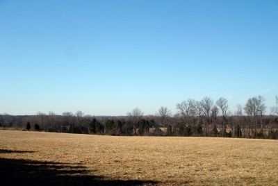
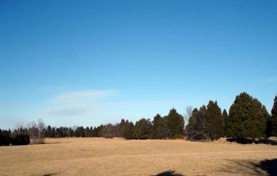
From the John Dogan House northward to this point, Union batteries occupied this ridge throughout the Second Battle of Manassas. At one time on August 30 more than thirty guns were firing from this line.
Topics. This historical marker is listed in this topic list: War, US Civil. A significant historical year for this entry is 1862.
Location. 38° 49.289′ N, 77° 32.012′ W. Marker is near Manassas, Virginia, in Prince William County. Marker can be reached from Sudley Road (Virginia Route 234). Located near the John Dogan House at the Manassas National Battlefield Park. Touch for map. Marker is in this post office area: Manassas VA 20109, United States of America. Touch for directions.
Other nearby markers. At least 8 other markers are within walking distance of this marker. Blocking the Union Advance (approx. ¼ mile away); The Fight for Matthews Hill (approx. ¼ mile away); Rhode Island Battery (approx. ¼ mile away); Dogan Ridge (approx. 0.3 miles away); a different marker also named Blocking the Union Advance (approx. 0.3 miles away); 4th Alabama Infantry (approx. 0.3 miles away); First Contact (approx. 0.3 miles away); The Matthew Farm (approx. 0.4 miles away). Touch for a list and map of all markers in Manassas.
Also see . . . Second Battle of Bull Run. From Wikipedia, the free encyclopedia. (Submitted on February 7, 2009.)
Credits. This page was last revised on June 16, 2016. It was originally submitted on February 7, 2009. This page has been viewed 900 times since then and 10 times this year. Photos: 1, 2, 3, 4. submitted on February 7, 2009. • Craig Swain was the editor who published this page.


