Romney in Hampshire County, West Virginia — The American South (Appalachia)
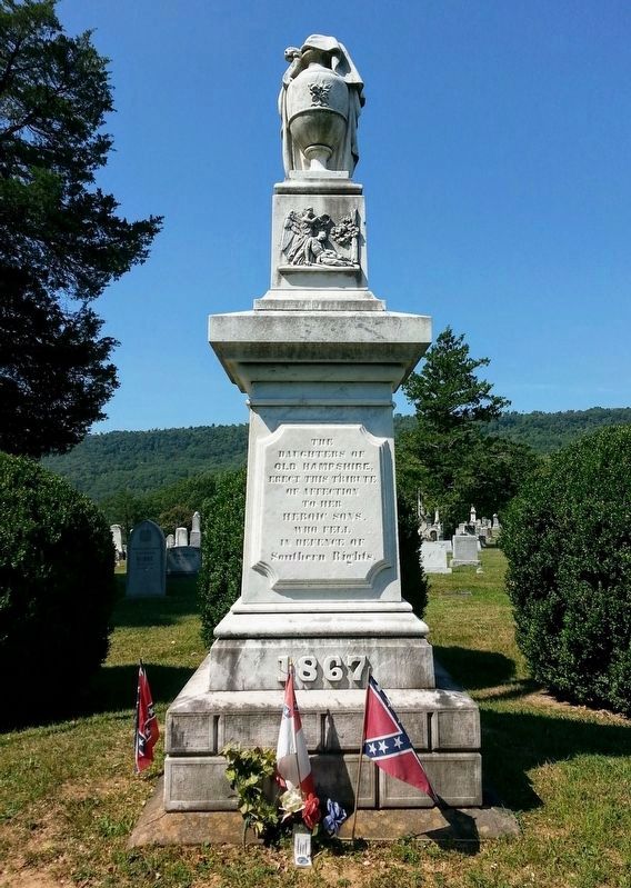
Romney / Early Memorial
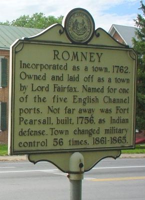
Romney. Incorporated as a town, 1762. Owned and laid off as a town by Lord Fairfax. Named for one of the five English Channel ports. Not far away was Fort Pearsall, built, 1756, as Indian defense. Town changed military control 56 times, 1861-1865.
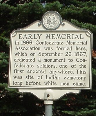
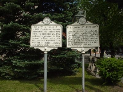
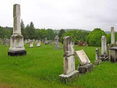
Early Memorial. In 1866, Confederate Memorial Association was formed here, which on September 26, 1867, dedicated a monument to Confederate soldiers, one of the first erected anywhere. This was site of Indian cemetery long before white men came.
Topics and series. This historical marker and memorial is listed in these topic lists: Settlements & Settlers • War, French and Indian • War, US Civil. In addition, it is included in the West Virginia Archives and History series list. A significant historical month for this entry is September 1819.
Location. 39° 20.52′ N, 78° 45.377′ W. Marker is in Romney, West Virginia, in Hampshire County. Marker is at the intersection of East Main Street (U.S. 50) and High Street (West Virginia Route 28) on East Main Street. Touch for map. Marker is at or near this postal address: 4 East Main Street, Romney WV 26757, United States of America. Touch for directions.
Other nearby markers. At least 8 other markers are within walking distance of this marker. Hampshire County Courthouse (here, next to this marker); Hampshire County World War I Memorial (a few steps from this marker); Romney in 1861–1865 / “Stonewall” Jackson (a few steps from this marker); Gilbert Proctor Miller (a few steps from this marker); Literary Hall (within shouting distance of this marker); Lieutenant John Blue (within shouting distance of this marker); Romney in Union Hands (about 400 feet away, measured in a direct line); Taggart-Hall House (about 400 feet away). Touch for a list and map of all markers in Romney.
More about this memorial. This marker is next to the Romney in 1861–1865 / Stonewall Jackson marker on the courthouse grounds, visible from the intersection.
Also see . . . Some Old Photographs of Romney. (Submitted on October 12, 2010, by Linda Walcroft of Woodstock, Virginia.)
Credits. This page was last revised on November 5, 2020. It was originally submitted on July 28, 2006, by Phyllis Prats of Springfield, Virginia. This page has been viewed 2,527 times since then and 11 times this year. Last updated on November 4, 2020, by Bradley Owen of Morgantown, West Virginia. Photos: 1, 2, 3. submitted on July 28, 2006, by Phyllis Prats of Springfield, Virginia. 4. submitted on August 16, 2007, by Linda Walcroft of Woodstock, Virginia. 5. submitted on November 4, 2020, by Bradley Owen of Morgantown, West Virginia. • Devry Becker Jones was the editor who published this page.
